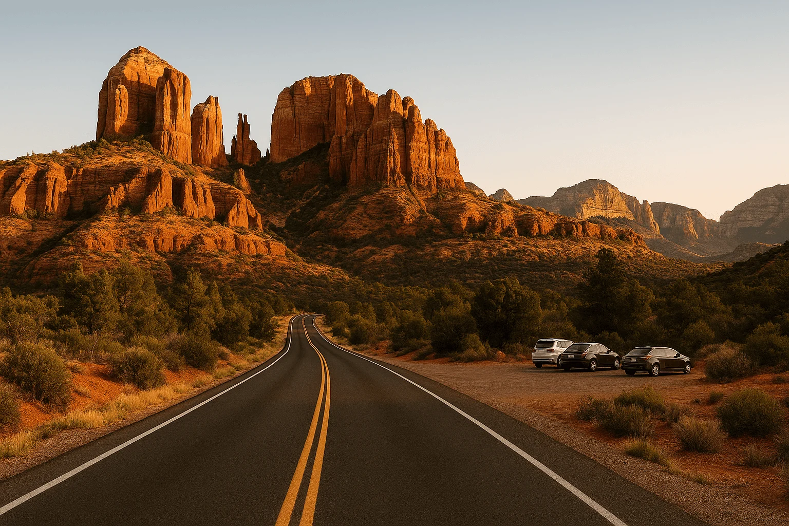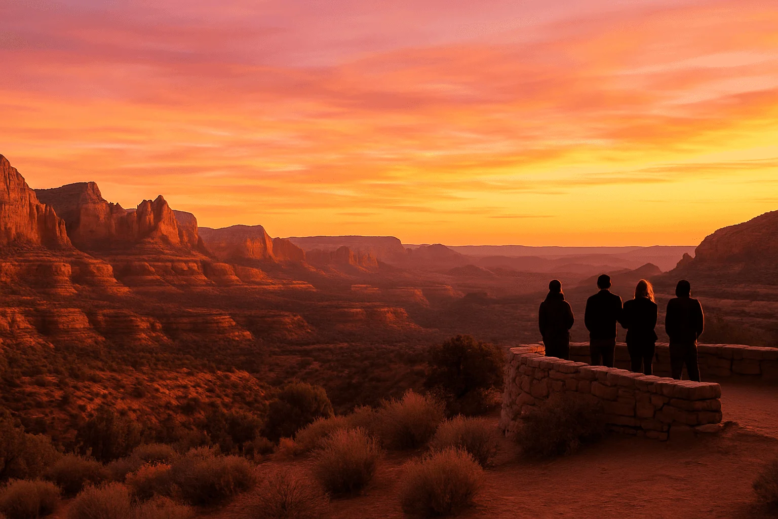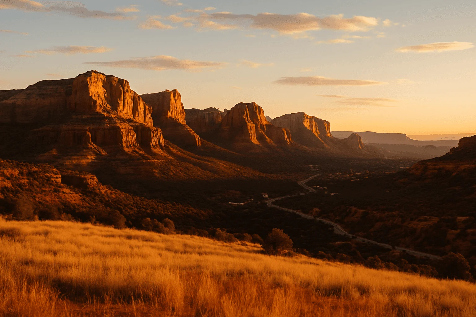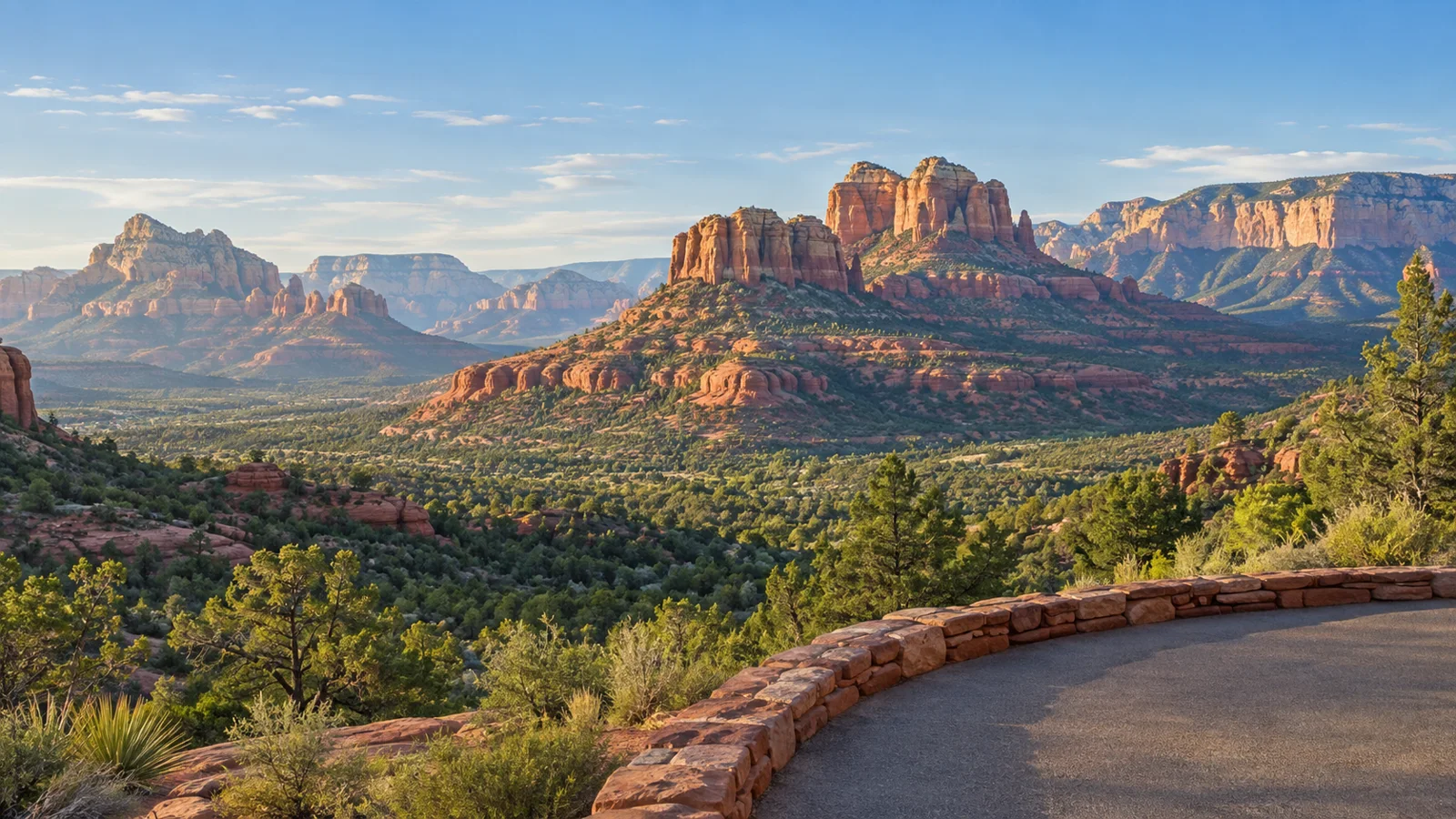
You do not need a summit hike to see Sedona at its best. The satisfying part is choosing the right stop: a broad overlook near town, Bell Rock rising beside the scenic highway, or the long green fold of Oak Creek Canyon from its rim.
For a regular passenger car and very little walking, start with Airport Scenic Overlook, the Bell Rock-area parking views and Oak Creek Vista. The Chapel adds an uphill approach, Yavapai Vista includes a short trail, and Crescent Moon’s familiar creek reflection requires a walk. Schnebly Hill is the exception: it is a rough-road adventure, not a casual drive-up stop in a rental sedan.
The eight places below explain what you can enjoy from the parking area and what requires going farther. “No hiking required” should let you choose a comfortable outing, not hide the effort until you arrive.
1. Airport Scenic Overlook: the easiest wide panorama near town
Drive up Airport Road from West Sedona for the broad view across town toward Chimney Rock, Thunder Mountain and Coffee Pot. The Airport Scenic Overlook is the upper viewpoint near the airport, reached by crossing at the marked crosswalk from its parking area. You do not need to complete Airport Loop or climb the lower vortex saddle to enjoy it.
The airport currently lists $3 all-day parking; keep your receipt if you leave and return. It accepts cash and cards, with a kiosk available when the booth is unattended. Overnight parking and camping are not allowed. The charge is separate from a Forest Service Red Rock Pass.
This is an especially good first stop when you want to understand the shape of Sedona before exploring it. Near sunset it becomes a shared experience, so expect other visitors and a possible queue on the road. The airport advises arriving about an hour before sunset. A daytime visit is often easier to fit around lunch or a shopping afternoon.
The small lower Airport Mesa trailhead lot is a different destination. If you want to connect the two, use the designated trail and account for the extra walking. The airport specifically prohibits walking along Airport Road: do not turn a parking backup into a roadside climb.
Official overlook parking and approach instructions →
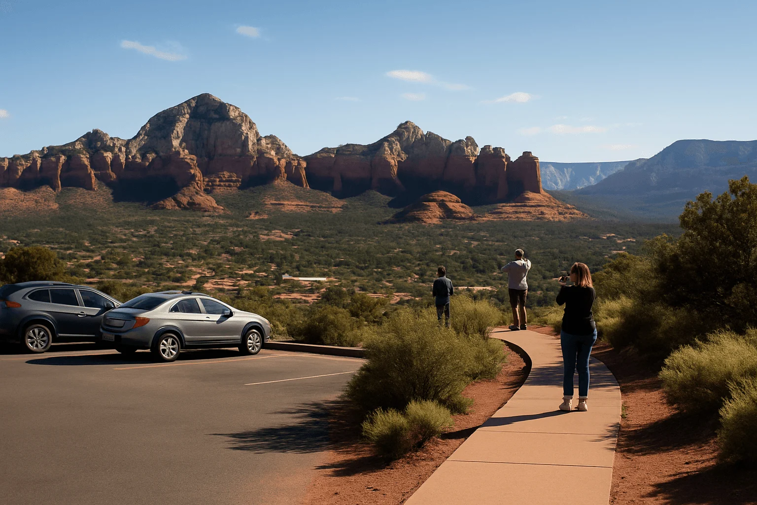
2. Bell Rock and Courthouse Vista: big formations without a summit
Along SR 179 near the Village of Oak Creek, Bell Rock and Courthouse Butte are large enough to be the experience before you set off on a trail. Use a developed parking area such as Courthouse Vista on the northern side or Bell Rock Vista on the southern side. These are different lots, so save the one you intend to use.
For a stop with no hike, stay around the developed parking area and enjoy the formations from there. If everyone wants a closer foreground, follow a signed section of Bell Rock Pathway and turn around when it suits the group. The entire pathway and Courthouse Butte Loop are hiking outings; climbing Bell Rock itself adds steep rock and route choices.
The Forest Service recreation guide lists these as pass-required sites. Display a valid accepted parking pass and use marked spaces. A roadside view does not make highway shoulders a photo parking lot. This stop works naturally on the way into Sedona from I-17, before you have crossed town and committed to another corridor.
3. Yavapai Vista: a short walk with a rewarding open view
Yavapai Vista lies along the same SR 179 corridor and suits visitors who can manage a brief desert walk but do not want a major hike. The Forest Service describes the viewpoint trail as 0.5 mile out and back. That is the full return walk, not a half-mile each way.
Its open red-rock outlook is the reason to stop, but this is not a roll-out-of-the-car overlook. Uneven ground matters for anyone using a mobility aid or traveling with a stroller. If a trail is outside your group’s comfort, choose Airport Scenic Overlook or enjoy the Bell Rock parking-area views instead.
A Red Rock Pass or America the Beautiful Pass is required for parking. There is a restroom but no potable water, so bring drinks from town. Allow an unhurried short-walk block rather than squeezing it between two fixed reservations.
Official Yavapai Vista trail and facilities →
4. Chapel of the Holy Cross: architecture, red rocks and an uphill approach
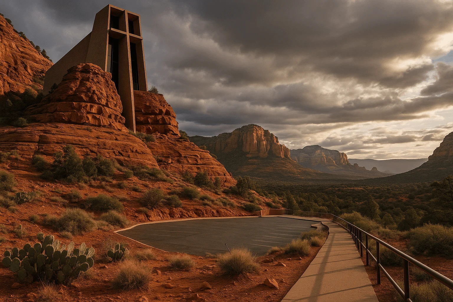
The Chapel is at 780 Chapel Road, off SR 179. It is not in West Sedona on SR 89A. Its setting offers a different kind of view: a small sacred building tucked into the rock, with the surrounding formations framing the visit.
The vehicle approach is paved, but parking position affects the amount of uphill walking. Do not describe the entire visit as flat or automatically accessible. If someone cannot manage the slope, contact the Chapel about the appropriate arrival arrangement before driving over.
Visitor hours are 9 a.m. to 5 p.m., with last entry at 4:45 p.m. Those hours make it a daytime stop, not a dependable after-hours sunset destination. Allow space for prayer and services; this is an active religious place as well as a scenic attraction.
Official Chapel hours, address and visitor information →
5. Midgley Bridge: a quick canyon-edge stop north of Uptown
Follow SR 89A north from Uptown to the Midgley Bridge observation and trailhead area. It suits a brief look into the canyon and an introduction to the terrain beyond town. Park only in the designated lot; if it is full or temporarily unavailable, keep going to a legal alternative.
The bridge approach is not permission to stop on the highway. Stay in the established visitor area, and do not climb barriers or assume a canyon path belongs to a no-hiking itinerary. Trails leaving this area can take you much farther than a quick overlook visit.
The Forest Service recreation guide lists Midgley Bridge as a pass-required parking site. Because spaces also serve trail users, think of this as a possible stop on a canyon drive rather than the one place that must work for your family’s whole afternoon.
6. Oak Creek Vista: look down into the canyon from the rim
Oak Creek Vista is farther north on SR 89A, above the canyon’s switchbacks. The Forest Service places it about 13 miles north of Sedona and at an elevation of roughly 6,400 feet. Make it part of a canyon drive or a journey to or from Flagstaff rather than a five-minute detour from Uptown.
Here the appeal is depth: the forested canyon and the road threading through it. The developed visitor area leads to the overlook without a backcountry hike, though you still need to leave the car and reach the viewing edge. Cooler weather at the rim can surprise visitors dressed for warm town streets.
Vault restrooms are available. The official page says the site is generally open year-round except Thanksgiving and Christmas, subject to maintenance or other closures. A seasonal information booth and occasional marketplace add interest, but do not make either the reason for a tightly timed stop. Winter weather can affect the road and walking surface.
Official Oak Creek Vista directions and operating notes →
7. Crescent Moon and Red Rock Crossing: a picnic setting, with walking for the reflection
West of town, reach Crescent Moon through the Red Rock Loop Road area and follow the signed entrance. The attraction is a slower creekside outing with Cathedral Rock as the backdrop. It is a different experience from climbing Cathedral Rock and uses a different access point.
You can enjoy the picnic setting without committing to a hike, but the familiar creek-level reflection is not a view from a parking space. Reaching a particular bank adds walking, with roots, dirt and water conditions affecting where you can comfortably go. Do not promise a wheelchair route, dry crossing or identical photo composition to every visitor.
This concession-managed day-use site has its own entry arrangements; a standard Red Rock Pass does not automatically cover admission. Check the current fee and entrance sign. Published seasonal hours are 7 a.m.–7 p.m. April–September, 8 a.m.–6 p.m. October–November, and 9 a.m.–5 p.m. December–March. Leave time to return to the car before closing, especially if you are hoping for late light.
Published Crescent Moon seasonal gate hours →
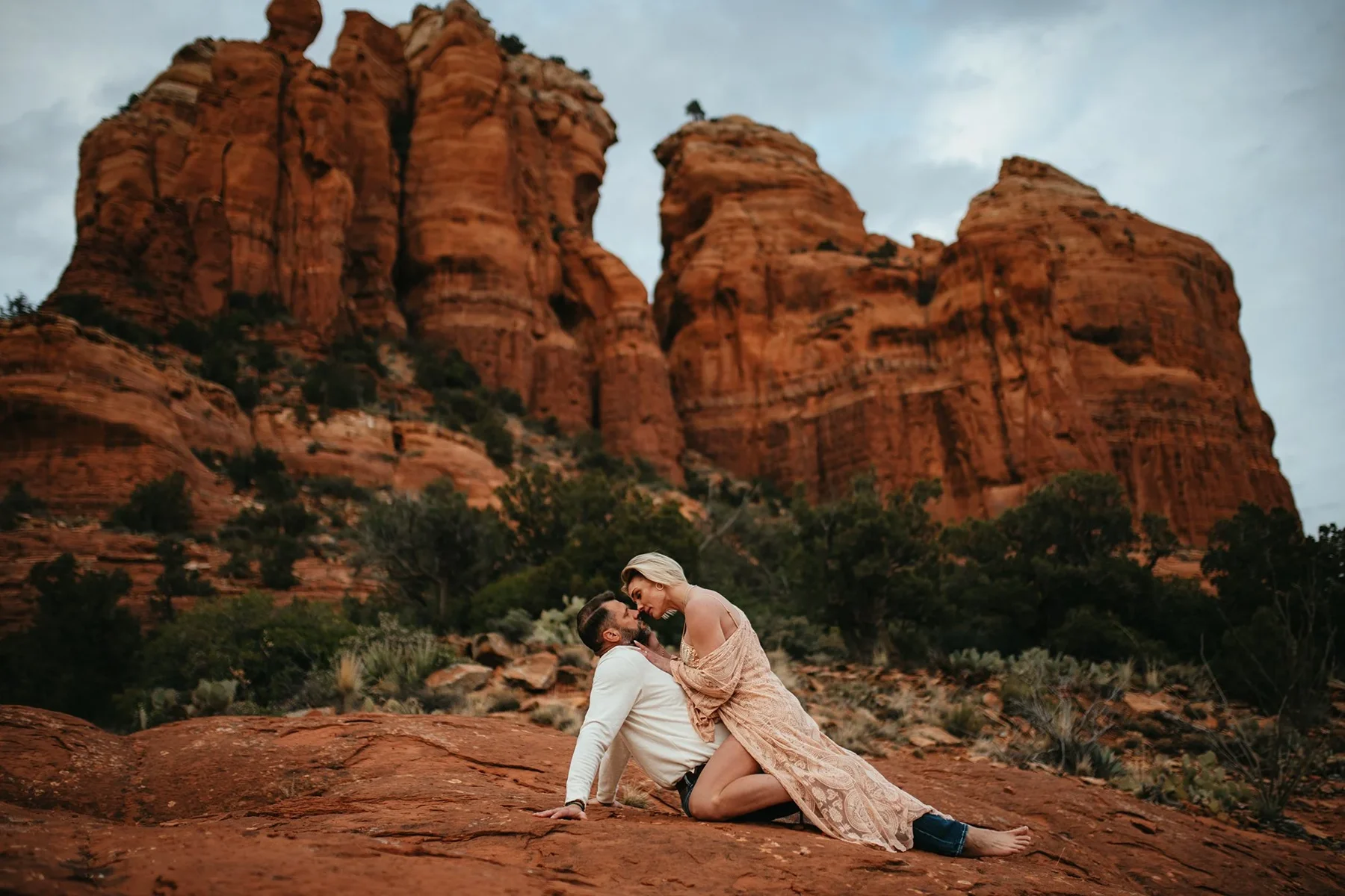
8. Schnebly Hill: a rugged excursion, not a passenger-car overlook
Schnebly Hill Road, Forest Road 153, climbs out of Sedona toward the rim. Its appeal is the changing perspective as the town drops away behind you. Its limitation is equally important: beyond the paved approach, rough rock and ruts make this a high-clearance backcountry drive, not a reliable outing for a normal rental car.
Check Forest Service road conditions, weather and your vehicle agreement before committing. A crossover badge or a map’s continuous line does not establish enough clearance. Seasonal gates and road conditions can change; do not use this road as a traffic shortcut or promise a fixed return time.
If the rim scenery appeals but you want someone else handling the road, Ultimate Scenic Rim Adventure with Pink Jeep Tours is a relevant alternative. The Viator listing describes an approximately 2½-hour trip meeting at 204 N State Route 89A in Uptown and returning there. This is a rugged ride, with uneven walking at scenic stops; the operator says guests with limited mobility may stay in the vehicle at stops, but the tour is not wheelchair accessible.
Children under five and pregnant guests cannot join under the operator’s published rules. Travelers with back problems or other relevant health concerns should read the ticket restrictions carefully. Viator currently lists cancellation for a full refund up to 24 hours before the experience. Route changes may be necessary for conditions, so confirm a particular viewpoint if it is essential to you.
View Ultimate Scenic Rim Adventure dates on Viator →
Build one scenic outing instead of racing through all eight
Arriving from Phoenix: begin with Bell Rock-area views, add Yavapai Vista only if a short walk sounds enjoyable, and visit the Chapel during its open hours. Choose lunch along that corridor before heading into town.
Staying near town: make Airport Scenic Overlook the main view, then leave room for lunch and browsing. Mi Amoré Sedona at the historic Hart Store, 100 Brewer Road, is a pleasant separate stop for a thoughtful gift or a keepsake from the trip. Explore our little gift shop and visit between 10 a.m. and 4:30 p.m. daily.
Heading toward Flagstaff: combine a legal Midgley Bridge stop with Oak Creek Vista as you travel north. Watch AZ511 for canyon-road restrictions and weather, and avoid making a late return dependent on a short drive estimate.
If sunset is the priority, use our easy sunset guide to choose a place whose access hours match the light. For a group with limited walking ability, plan around the walking distance everyone can comfortably manage. A few well-chosen stops make a better afternoon than a long list that leaves someone behind.
GOOD TO KNOW