Choose parking for the part of Sedona you are visiting
A relaxed Sedona day starts with the right destination saved on your phone. Uptown’s Main Street, the SR 179 corridor and the western trailheads have different parking arrangements. A space that works for lunch in Uptown will not solve access to Cathedral Rock, and a trailhead park-and-ride is not an all-day shuttle hub for every shop in town.
For an Uptown afternoon, choose a signed public lot and walk between shops. For Cathedral Rock or Soldier Pass during shuttle service, go straight to the correct park-and-ride. For Devil’s Bridge, choose the approach trail before choosing the lot. Below are the useful distinctions, including the construction and time limits that an old parking map can miss.
Uptown: free public lots and their actual limits
The city’s current visitor page and downloadable brochure still list free Uptown parking. For a longer visit in a passenger car, Lot 5, the city lot, is the all-day option shown in that brochure; it prohibits RVs. Follow the public parking signs and identify the lot number when you arrive.
For a shorter browse or meal, the brochure identifies Lot 3, Sacajawea; Lot 4, Matterhorn; Lot 6, Wayside Chapel; and Lot 7, Sinagua as three-hour lots. Their signs matter as much as their names: the map specifies that the three-hour limits at Matterhorn and Sinagua apply until 5 p.m., and Wayside Chapel has no public parking before noon on Sundays. Respect employee-only spaces in shared lots.
The other all-day lot in the brochure, Lot 9, is designated for buses and RVs only. It is not a second all-day passenger-car option. That distinction is easy to miss when another guide simply says “two free all-day lots.”
Save the official Uptown parking map before driving in. Pick a lot that suits the length of your visit, then give yourself time to walk. Uphill side streets, heat and carrying purchases may make the closest legal space worth more to your group than the cheapest one.
The Forest Road garage is still a construction project
Do not plan your visit around an open Uptown garage yet. The city’s garage project site currently lists completion in early 2027, with construction at 430 and 460 Forest Road. Forest Road public parking is closed during the project, and adjacent road sections can be affected.
The city has also been developing new parking fees. Existing free-lot information is not a permanent promise, and a proposed rate is not evidence that a pay station is collecting it today. Use the current signs and payment instructions at the space you choose; check the city’s visitor parking page for changes.
Main Street meters: convenient for a short Uptown stop
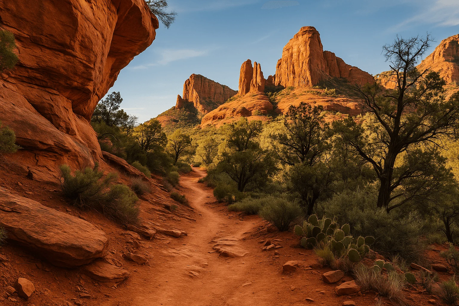
Metered spaces along North SR 89A put you close to Uptown restaurants and storefronts. The city currently lists paid hours of 9 a.m.–6 p.m., seven days a week, with meters free outside that window unless posted restrictions say otherwise.
Payment is tied to your license plate. Have the rental car’s plate handy, enter it carefully and use a credit card at the station or the supported phone app; the city lists no cash payment at these stations. Confirm the zone on the sign rather than reusing a number saved from a different Sedona lot.
Choose your parking duration after you have considered the day: a quick coffee is different from lunch followed by galleries. Read the displayed rate and maximum stay before paying. Check your expiry before settling into another stop; app payment does not override a posted time limit.
If you use an accessible space in the metered zone, the city requires both the appropriate disability plate or placard and payment. For anyone with limited walking tolerance, compare the actual route from the space to the entrance, not just its distance on a map.
Visiting the Hart Store is a separate Brewer Road stop
Mi Amoré Sedona is at 100 Brewer Road, inside the historic Hart Store. It is not a Main Street storefront, and you should not choose an Uptown lot on the assumption that it is directly outside our door.
Save the shop address as its own stop and follow the parking signs on arrival. We are open daily, 10 a.m.–4:30 p.m. If browsing for a thoughtful gift or something lovely to remember Sedona by fits your afternoon, allow time to enjoy the shop rather than squeezing it between a meter expiry and a dinner reservation.
Park-and-ride: match the lot to the trail
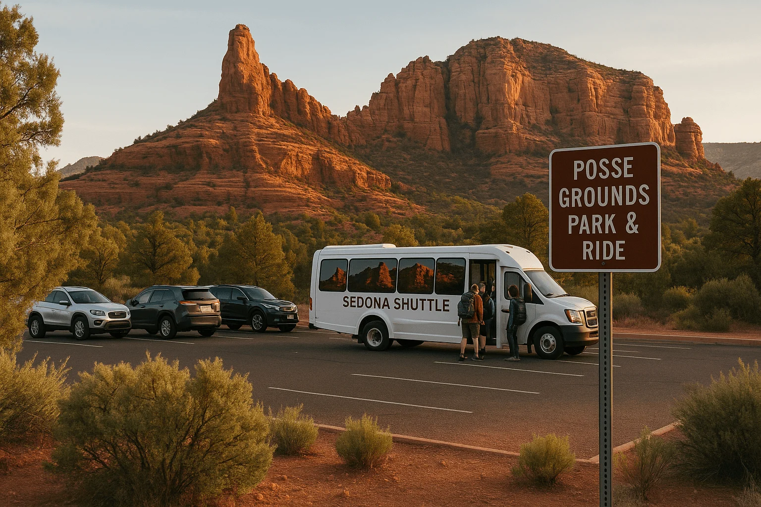
The free trailhead shuttle normally operates Thursday–Sunday, with some supplemental service days. Use North SR 179, 1294 SR 179, for Route 15 to Cathedral Rock and Little Horse; Posse Grounds, 20 Carruth Drive, for Route 14 to Soldier Pass; and West SR 89A, 905 Upper Red Rock Loop Road, for Route 11 to Dry Creek Vista and Mescal.
The lots and trailhead rides are free, and shuttle passengers do not need a trailhead parking pass. RVs, campers, buses and overnight parking are prohibited at these park-and-rides. The fixed routes do not collect passengers from every Uptown parking lot or run a general shopping circuit.
If you want to transfer without a car, Shuttle Connect is a separate paid on-demand service within a defined area. Plan the transfer and service hours explicitly. Our full shuttle guide explains the routes and return planning.
Cathedral Rock and Soldier Pass: do not drive to a closed lot
Cathedral Rock’s Back O’ Beyond parking closes to private vehicles while the shuttle operates. On those days, the useful address is the North SR 179 park-and-ride. A suggestion to “arrive at the trailhead by 7 or 8” misses the access rule entirely.
Outside shuttle operation, use the developed lot only when it is open and follow the posted pass and parking rules. A before-service arrival is not automatic permission to leave the vehicle through a closure. Little Horse is not designated overflow parking for Cathedral Rock; choosing it creates a different hike.
Soldier Pass’s main parking also closes during shuttle operation. Use Posse Grounds for Route 14. The main trailhead and parking area have an additional 6 p.m.–8 a.m. individual-access restriction. Authorized shuttle trips are separately scheduled, so an early bus arrival is not a general exemption for a private car or pedestrian entering through the gate.
Read the official parking and access rules before setting out. If service or a closure prevents your intended outing, pick another legal start rather than waiting in a residential road.
Devil’s Bridge: Mescal and Dry Creek Vista are different hikes
For a normal passenger car, use a legal space at Mescal Trailhead on Long Canyon Road or Dry Creek Vista, or take Route 11 to either stop. Save the exact trailhead name. A search for the closest Devil’s Bridge parking can send navigation toward rough road access that is unsuitable for your vehicle.
The unpaved road to the closer Devil’s Bridge trailhead is FR 152, not FR 152C. The Forest Service requires high clearance and discourages travel there in wet weather. Do not treat a rental SUV’s appearance as proof that its clearance, equipment or rental terms suit that road.
The deciding detail is walking distance: the signed Mescal–Chuckwagon approach is 4 miles round trip; the Chuckwagon approach from Dry Creek Vista is 5.8 miles. The famous 1.6-mile figure describes the closer trail segment, not the complete hike from these passenger-car lots. The Forest Service discourages walking the Jeep road; choose the signed trail approach instead.
Neither lot guarantees an available space, and there is no useful reason to promise one is always the “largest” or most reliable. On shuttle days, Route 11 avoids the trailhead parking search. When driving, follow the actual site’s fee signs rather than assuming every national-forest lot has the same pass requirement.
Official Devil’s Bridge driving access and approach distances →
Bell Rock: choose the north or south starting lot
Courthouse Vista is the northern developed start near Bell Rock; Bell Rock Vista is farther south by the Village of Oak Creek. Both are along the east side of SR 179 and connect to the Bell Rock trail network. They are distinct trailheads, not a main lot and an overflow lot across the highway.
Choose the start that matches your planned walk and accommodation, then use its signed entrance. Finding a legal space at the other lot can be a sensible alternative, but changes the approach and distance. Do not improvise a highway crossing or roadside parking when the first lot is full.
These developed fee sites require an accepted parking pass. Route 15 stops at Little Horse, not at Bell Rock Vista or Courthouse Vista. You can plan a connected hike from Little Horse, but it should not be presented as a direct bus drop-off beside Bell Rock.
Passes, full lots and the plan worth saving
A Red Rock Pass pays for parking at designated Forest Service fee sites; it is not a blanket admission ticket to every Sedona trail. An America the Beautiful pass is accepted at eligible federal fee sites, but it does not pay Uptown meters, airport parking or every separately managed recreation area. Check the site’s sign and the official Red Rock recreation guide for the distinction.
Before leaving, save your first lot, an alternate legal start and the route back. If a trailhead is full, move to the alternate or shorten the day. Keep emergency access, driveways and signed no-parking areas clear; a line of other parked cars does not establish that a shoulder is legal.
For Uptown, park once where the time allowance fits your plans. For a shuttle hike, work backward from the stop’s return schedule. For a larger day around town, our traffic guide helps you group stops without unnecessary crossings. Parking details were checked September 25, 2026; current signs, construction notices and Forest Service closures take priority.
GOOD TO KNOW