The small decisions that make a first Sedona trip easier
Most Sedona travel mistakes start with a reasonable assumption: a short trail must be easy, a parking pass must work everywhere, or two places with “Cathedral Rock” in their description must share an entrance. The town looks compact on a map, but its trail access, creek sites and shopping districts each work a little differently. Once you understand those distinctions, you can spend your day looking at the red rocks instead of renegotiating the plan in a parking lot.
Choose one main outing each day, work out its access before leaving, and keep a lighter stop nearby. A hike followed by lunch and Mi Amoré Sedona on Brewer Road can be a lovely afternoon; a hike, two canyon parks, a Jeep tour and a sunset reservation is a race. These are the mistakes worth avoiding on your first visit, with the practical change that helps.
1. Treating every part of Sedona as the same neighborhood
Uptown's Main Street is the shopping and restaurant stretch of North State Route 89A. Tlaquepaque is a separate arts village on State Route 179 below Uptown. West Sedona spreads along 89A toward Cottonwood, while the Village of Oak Creek sits farther south on 179 near Bell Rock. A hotel described as “in Sedona” may be convenient for your chosen trails and still require a drive to Uptown dinner.
Group the day by area. Devil's Bridge and the Dry Creek trailheads fit a West Sedona morning; Bell Rock fits the Village side; Slide Rock is an Oak Creek Canyon outing north of town. For central-Sedona browsing, park legally, enjoy Tlaquepaque and make the separate stop at Mi Amoré Sedona in the historic Hart Store at 100 Brewer Road. Its curated gifts and home and garden pieces make a good daytime browse; it is open daily 10 a.m.–4:30 p.m., and it is not an Uptown Main Street shop.
2. Buying a pass and expecting it to solve parking everywhere
A Red Rock Pass is for the designated Forest Service recreation fee sites. It does not buy you a parking space, remove a trailhead closure, or cover a state park or every concessionaire-operated creek site. Slide Rock State Park and Red Rock State Park have separate admission. Crescent Moon and Call of the Canyon—the normal West Fork entrance—also have their own fee arrangements.
At a Forest Service fee site, follow the display instructions for a physical pass. If you buy the Red Rock Pass online, enter the correct vehicle plate; the official system uses that plate to verify the digital purchase and does not generate a printed hangtag. The official Recreation.gov pass page is a useful starting point. Check the specific site's sign and current fee information rather than guessing from the fact that you are surrounded by national forest.
When you ride the free trailhead shuttle from its free park-and-ride, you do not need a Red Rock Pass merely to ride or park there. That distinction can save a first-time visitor an unnecessary purchase, although another outing later in the trip may still need a pass.
3. Driving to a closed trailhead lot—or confusing the three transit services
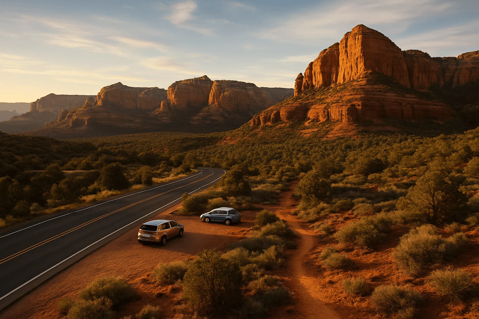
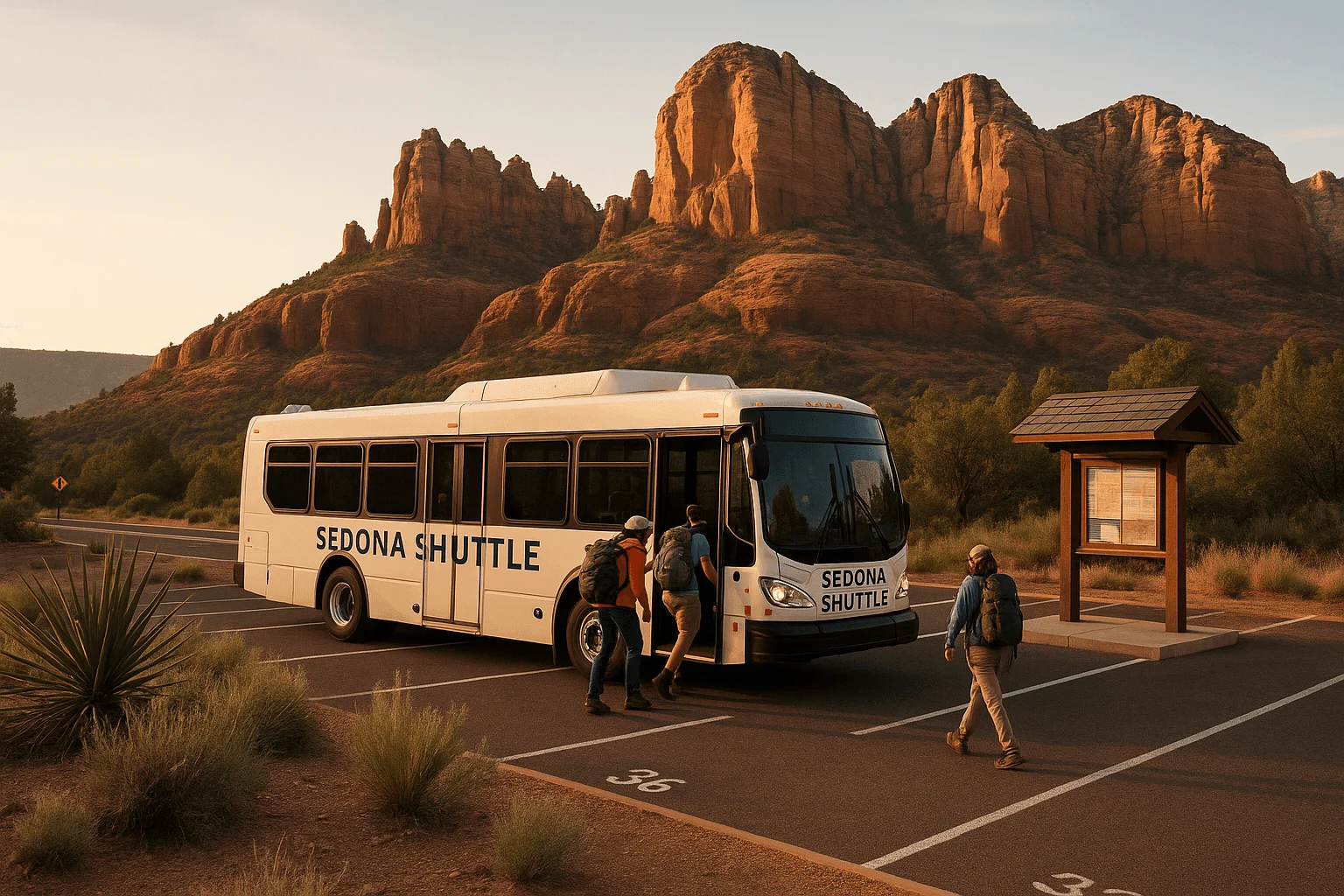
The Sedona Shuttle trailhead routes normally run Thursday through Sunday, with additional days during some busy periods. When that service is operating, the Cathedral Rock and Soldier Pass lots close to general-public cars. “Arrive early” is not a substitute for knowing whether your lot is open to you. Choose the correct park-and-ride and read the return timetable as well as the first departure.
The free trailhead routes take hikers to particular trailheads; they are not a shopping loop through Uptown and Tlaquepaque. Sedona Shuttle Connect is a separate on-demand service with its own service-area map, booking method and conditions. Verde Shuttle is another service along the town's highway corridors and out to Cottonwood. A car-free trip can work when those services fit your origin and destination, but do not assume an app-based ride or trailhead bus can collect you from any remote trail at sunset.
4. Planning Devil's Bridge from its shortest advertised distance
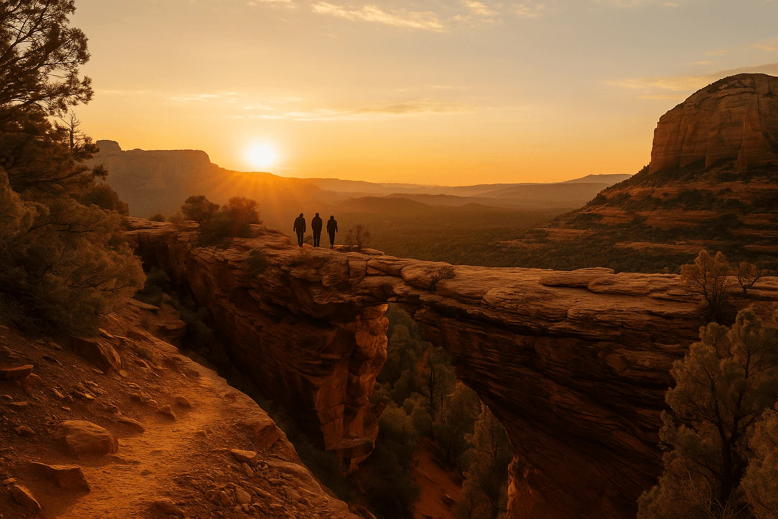
A trail's published distance can begin at a trailhead your ordinary rental car cannot easily reach. Devil's Bridge is the classic example. The rough Dry Creek road leads toward the closer trailhead, but the paved Dry Creek Vista starting area leaves an approach on foot. Mescal is a different approach again. Do not compare them using the short final trail segment alone.
Pick a mapped route from a start you can actually access, then count the entire return walk and allow for a wait near the arch. On shuttle days, the Dry Creek Vista/Mescal route gives you a clear starting plan. A view of the arch is the reward; stepping onto it for a photograph is optional. If heights, crowded rock steps or slick footing are a problem for your group, choose a less exposed outing rather than trying to persuade everyone once you reach the top.
5. Confusing a Cathedral Rock photograph with the saddle climb
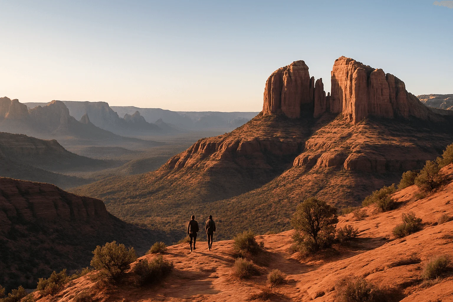
The Cathedral Rock Trail from Back O' Beyond is short but involves steep rock scrambling. Crescent Moon Picnic Site is a separate, gated creekside place with the familiar view of Cathedral Rock across Oak Creek. It is not the same trailhead, and it is not automatically open at first light. A picture taken from the water's edge does not tell you anything about the difficulty of climbing to the saddle.
Choose the experience before choosing the departure time. For the scramble, check footing, ability and the current shuttle rules. For a creek picnic or ground-level view, check Crescent Moon's seasonal opening hours and separate day-use fee. Neither plan becomes safer simply because the total distance is short. Wet rock, cold weather or a reluctant member of the group are good reasons to change the outing.
6. Letting a navigation app choose a scenic dirt-road shortcut
Schnebly Hill Road can look like an attractive connection between Sedona and the high country. Beyond its lower paved section, it is a rough Forest Service road; the Forest Service's Red Rock map identifies high-clearance travel for Schnebly Hill and Dry Creek. A small rental car and an estimated arrival time on your phone are not a road assessment.
Use the paved highways for ordinary transfers. Before a deliberate off-road drive, check the current road status, vehicle capability and your rental agreement; a vehicle being able to move forward does not mean the contract permits it. If you want the back-road scenery without driving, choose a guided Jeep route that actually names the road or viewpoint you want. Do not book by a general company description: a mild scenic ride and a rugged trail ride can be very different experiences.
7. Saving every viewpoint for sunset
Sunset gives the rocks beautiful color, but it also concentrates visitors into the same small spaces. At the upper Airport Scenic Overlook, the airport recommends arriving about an hour before sunset and charges separately for scenic parking. The lower Airport saddle viewpoint and the upper overlook are different stops. If you park above and want to walk between them, use the signed Sedona View Trail; the airport explicitly says not to walk on the narrow Airport Road.
Leave room for the approach, parking and the return in fading light. If you also have a dinner reservation or tour departure, choose the timing that gives both enough space. A calm late-afternoon view often feels better than arriving at sunset with your phone in one hand and a reservation clock in the other. For more options, see our sunrise and sunset guide.
8. Assuming an old trail or creek recommendation means it is open today
Fire, flood hazards and maintenance can change access long after the weather looks pleasant. As of September 27, 2026, West Fork Trail remains closed under the Forest Service's extended order through October 31, unless rescinded, because of post-Pocket Fire flood and debris hazards. Recheck that alert before a future visit; do not use an old itinerary as permission to enter.
The same principle applies to creek days. Red Rock State Park protects its habitat and prohibits swimming and wading. Slide Rock's water and access notices are specific to that park. A sunny afternoon does not remove a closure or make high water safe. Check the land manager's current notice before leaving and have a different outing ready.
9. Booking a tour or hotel without reading the detail that changes your day
For a tour, read the exact meeting address, check-in time, transport arrangements, route and physical requirements. “Sedona pickup” may mean a fixed office rather than your hotel; a stargazing outing may require your own car to reach the observing site. Read the cancellation and weather terms on the actual ticket you are buying, not on a different operator's homepage. A guided experience helps when it solves your problem, such as rough-road driving or wanting a guide's interpretation; it does not make a crowded day limitless.
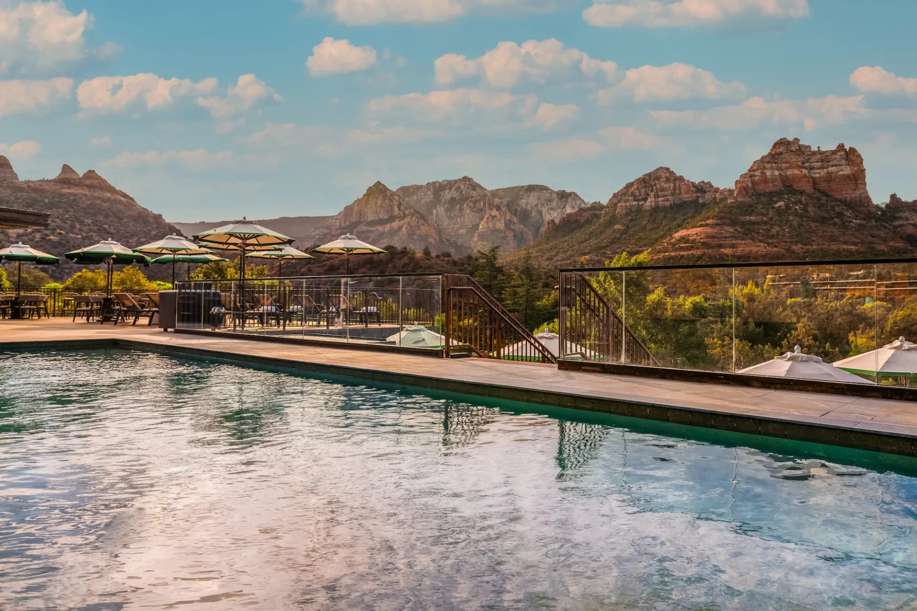
For lodging, choose the area before the amenities list. A beautiful resort outside the central shopping area may be perfect for a quiet stay and awkward for someone who wants to walk to every meal. Check your chosen room category, total fees and parking arrangements, then look at the route to the activities you will actually do. Our first-time hotel guide compares those choices in context.
10. Packing for the photograph rather than the walk home
Bring shoes with grip, water, sun protection and a layer appropriate to the forecast. Save your route offline before reception weakens. If your plan starts before dawn or finishes after sunset, carry a working light and allow for a slower return; a phone camera's bright screen is not trail lighting. Choose your turnaround time while you still have energy, rather than at the point where the view makes you forget the journey back.
With those pieces settled, leave some uncommitted time. Park once in Uptown using the city's public-lot map, respect each lot's time limit and signed spaces, and browse on foot. Main Street meters are a separate option with their own payment hours. Enjoy the part of Sedona you are in instead of crossing town for every meal or squeezing a second trail into the last hour. That is often the difference between remembering the scenery and remembering the traffic.
GOOD TO KNOW