Choose the landscape first, then give yourself time to enjoy it
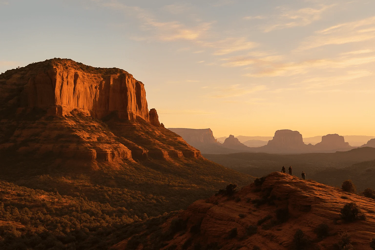
A Sedona vortex visit can be a few quiet minutes looking across the red rocks, a gentle walk below Bell Rock or a demanding climb between Cathedral Rock’s spires. Those experiences share a place on the same tourism map; they do not share the same parking plan or physical effort. For a first visit, choose one or two places that suit your day rather than trying to collect all four.
Airport Mesa offers an easy way to enjoy a broad view from the upper scenic overlook, with a separate, rockier route to the lower knoll commonly associated with the vortex. Bell Rock is the most flexible choice for a short walk. Boynton Vista gives you a small taste of the canyon without committing to the full canyon hike. Cathedral Rock’s saddle is for visitors who actually want to scramble; the creekside view at Crescent Moon is a different outing entirely.
In Sedona’s spiritual tourism, a vortex is a place believed to concentrate energy, often associated with meditation and reflection. Visit Sedona names Airport Mesa, Bell Rock, Cathedral Rock and Boynton Canyon as the best-known sites. These are spiritual interpretations, rather than scientifically established energy fields. You can be curious about the idea, or simply appreciate the landscape, without expecting a particular sensation.
Airport Mesa: know which of the two stops you want
Airport Mesa rises above West Sedona, reached from SR 89A along Airport Road. It is not a viewpoint on the north edge of Uptown. The distinction that makes the visit easier is between the Airport Scenic Overlook at the top of the road and the lower Airport Mesa trailhead and knoll.
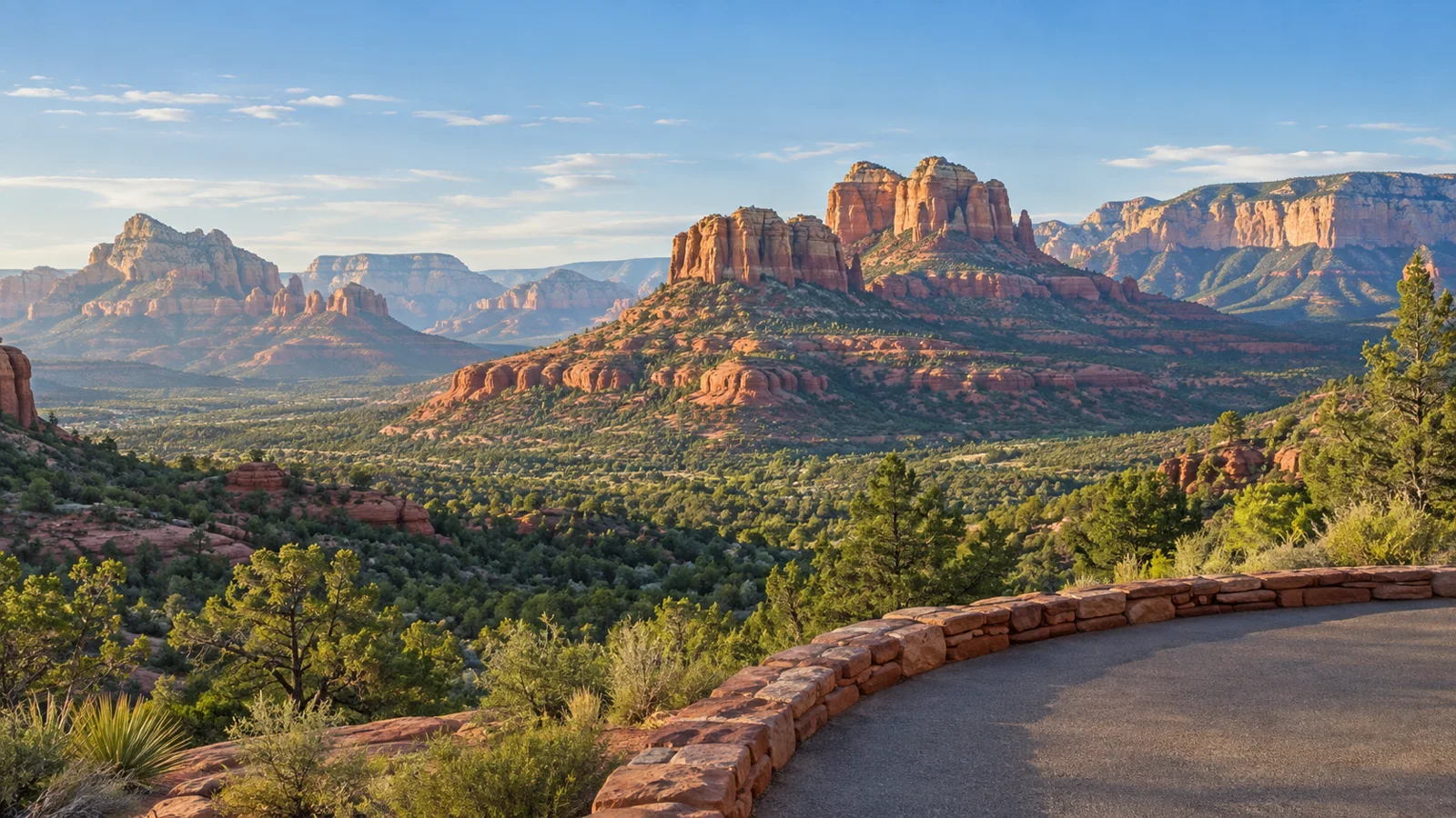
At the upper overlook, you can take in West Sedona and formations including Coffee Pot, Thunder Mountain and Chimney Rock without doing the knoll climb. The airport currently charges $3 for all-day parking; keep the receipt if you leave and return. Follow the marked crosswalk to the viewing area across Airport Road. This is the sensible choice when the view matters more than reaching a particular meditation spot.
The lower knoll involves uneven rock and an uphill approach, so “short” should not be mistaken for flat or stroller-friendly. If its small lot is full, the upper parking area is a legitimate alternative, but the connecting Sedona View Trail adds a downhill walk and an uphill return. The tourism office lists that connection as 0.6 mile each way; the airport describes 0.7 mile. Plan for roughly 1.2–1.4 miles there and back, plus the knoll approach, and follow the signed trail map.
Allow about 30–45 minutes for a relaxed upper-overlook stop. If you plan to use the connecting trail and climb the knoll, leave substantially more time and bring hiking shoes and water. These are suggested visit windows, not measured walking times. The approximately three-mile Airport Loop is another hike, not the little viewpoint outing.
The airport’s parking and trail instructions explicitly prohibit pedestrians on Airport Road: use the marked trail connection, not the road shoulder. Sunset is popular enough that the airport recommends arriving an hour beforehand. Going later in the day does not guarantee easier parking here.
Bell Rock: a short walk can be enough
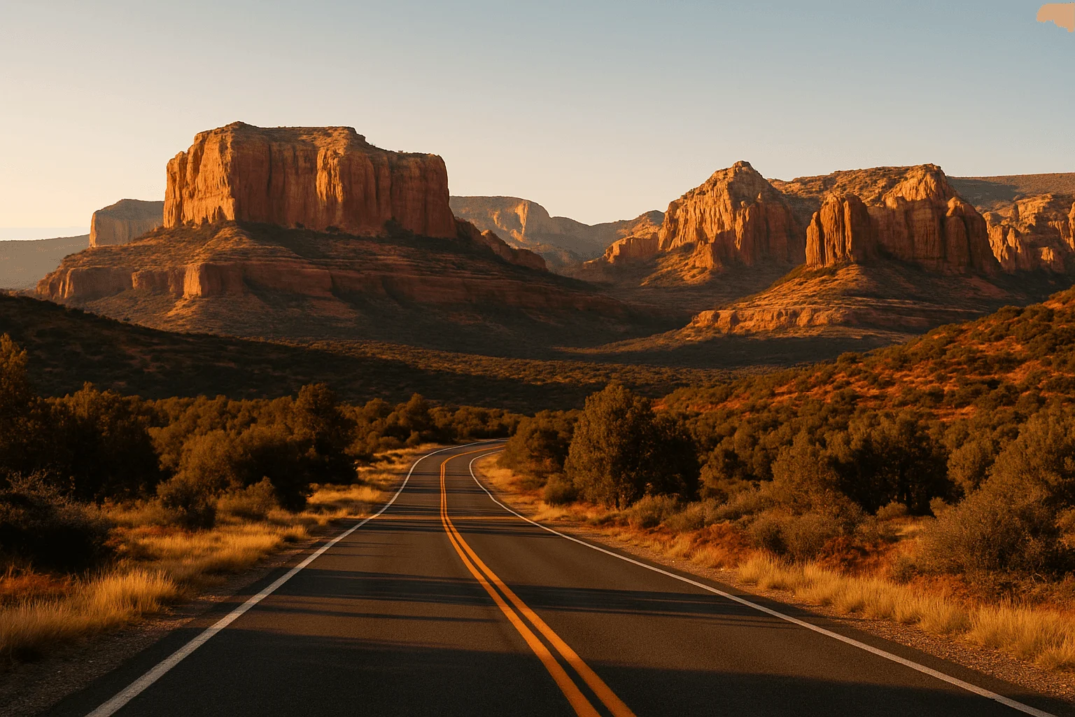
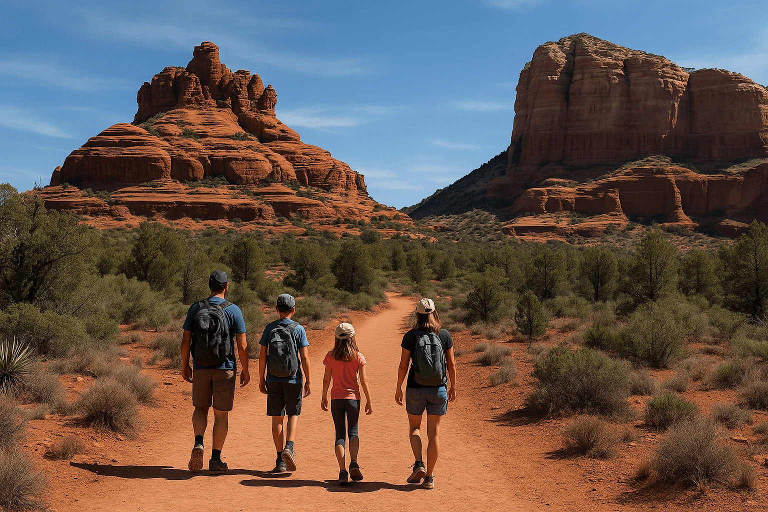
Bell Rock and Courthouse Butte sit along SR 179, toward the Village of Oak Creek. You get an immediate sense of their scale without needing to climb high onto Bell Rock. For someone who wants time outside, a few photographs and an unhurried place to pause, staying on the lower established trails is a better starting point than following other visitors up the rock.
Courthouse Vista is the named parking area north of Bell Rock. The Forest Service lists paved parking, vault toilets, a pass machine and trail information there, but no drinking water. Bell Rock Vista and Pathway parking farther south offers another approach. These are different lots; save the exact trailhead you intend to use rather than navigating to a generic Bell Rock pin.
The tourism office’s easy-viewing handout describes a short, approximately 0.2-mile return gravel walk from Courthouse Vista to Bell Rock’s base. That is a modest viewing option, not a summit route. Allow perhaps 30–60 minutes for a short outing with a pause, then extend your walk only if the conditions and everyone’s energy suit it.
The Forest Service’s Bell Rock Pathway page lists the entire pathway as 3.5 miles one way. You do not need to walk its full length to enjoy Bell Rock. Much of it is broad and firm, but there are steep hills and rough sections around the formation; cyclists and other trail users also share the route. Stay with an out-and-back that you can comfortably reverse. Scrambling up Bell Rock changes the difficulty and the consequences of the descent.
A Red Rock Pass or accepted America the Beautiful pass is required when parking at the fee-site trailheads. Courthouse Vista’s current official page lists $5 daily, $15 weekly and $20 annually. This is a parking fee, not a charge to feel or experience a vortex. The free trailhead shuttle does not stop at Bell Rock or Courthouse Vista.
Cathedral Rock: choose the saddle climb or the creekside view
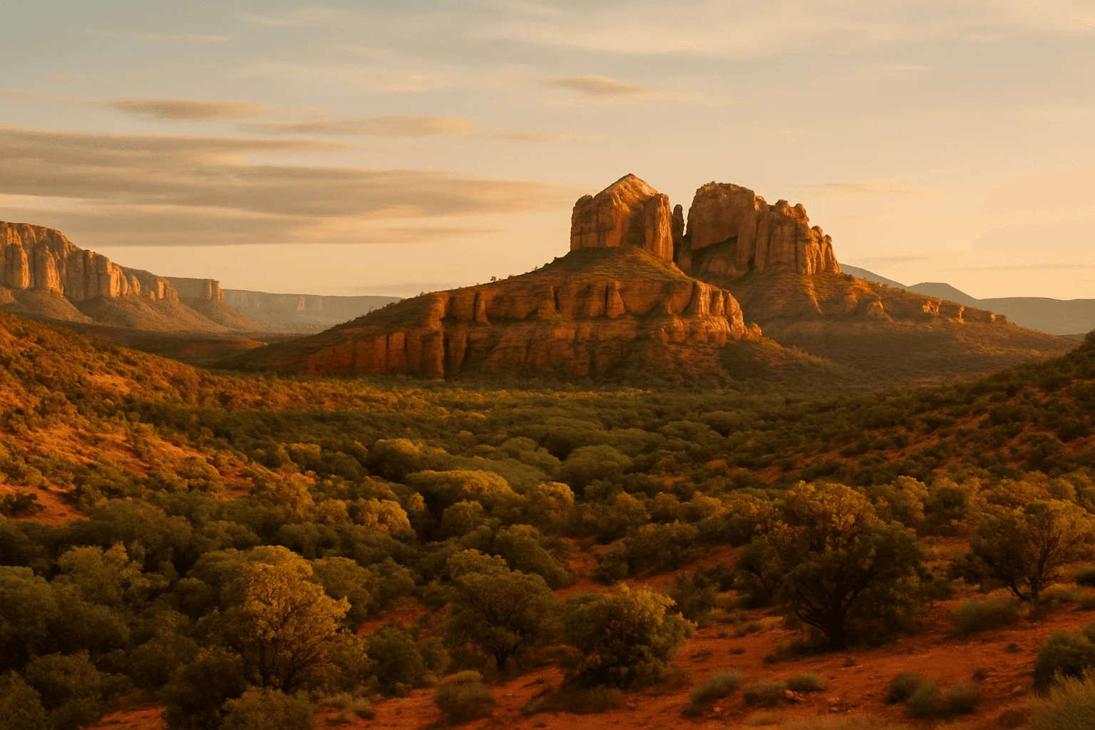
Cathedral Rock is often the photograph that inspires the trip. Decide which photograph you have in mind before choosing your destination: the view from the saddle, reached by a steep climb, or the view of the formation across Oak Creek. They start on different sides and should not be combined into one simple “Cathedral Rock walk.”
The saddle from Back O’ Beyond
The Cathedral Rock Trail No. 170 starts from Back O’ Beyond Road, off SR 179. The Forest Service rates it strenuous, with 669 feet of elevation gain. Its steep, unshaded slickrock includes a narrow cleft with footholds; you should expect to use your hands and consider the climb back down before going up.
The agency’s page gives 1.1 miles round trip in its statistics and 1.5 miles in its route narrative. Plan for roughly 1–1.5 miles of steep climbing, rather than assuming a precise short mileage makes this easy. The official time estimate is 1.5 hours round trip; photographs, waiting and a slower descent can add to that. Wet or icy rock and summer heat are good reasons to choose the view from below instead. This is not the stroller or wheelchair option.
While the Sedona trailhead shuttle is operating, Cathedral Rock’s trailhead parking lot is closed to private vehicles. Take the free route from North SR 179 Park & Ride, 1294 SR 179. Normal service runs Thursday–Sunday, with extra days during some holidays and spring periods. The lot reopening after service is different from a trail closure; it does not make a late start sensible for every visitor. Check the current Cathedral Rock route timetable and your return ride before starting.
The view across Oak Creek at Crescent Moon
For a quieter-paced visit with Cathedral Rock in front of you rather than under your feet, choose Crescent Moon Picnic Site at Red Rock Crossing, approached from the West Sedona and Upper Red Rock Loop side. It is a separate creekside day-use area, not overflow parking for the saddle trail.
The current entrance fee is $15 per vehicle for up to five people, with $4 for walk-ins or extra passengers. Neither a regular Red Rock Pass nor an America the Beautiful pass covers that entrance. There are picnic tables, toilets and drinking water; you can spend time along the creek without doing Cathedral’s scramble.
Hours are seasonal: 7am–7pm April–September, 8am–6pm October–November and 9am–5pm December–March. That matters if a summer sunset photograph or winter late-afternoon visit is the plan. Follow the open paths and posted creek conditions, and treat water access as a separate decision from a scenic walk. A road pullout somewhere along Oak Creek is not a substitute for this managed entrance.
Boynton Canyon: the vista is shorter than the full canyon hike
Boynton Canyon takes you into the red-rock country northwest of West Sedona, along the Dry Creek Road and Boynton roads approach. Its enclosed cliffs feel different from Bell Rock’s open desert or Airport’s town-wide panorama. The public trailhead sits outside Enchantment Resort; staying at, eating at or walking through the resort is not required to use the public trail.
For a focused vortex visit, follow the signed Boynton Canyon approach, then the signed Boynton Vista branch. This is the shorter route toward the rock spires associated with the site. Local magazine Sedona Monthly’s reported hike measured about 1.14 miles out and back from the trailhead, including the approach. Think roughly a mile of walking, with a rocky uphill finish, rather than a 0.2-mile stroll from the parking lot. The tiny distance sometimes quoted for the Vista refers to the spur itself.
Allow around an hour or more for the short walk and a pause; that is a planning suggestion, not a promise about anyone’s pace. Stop at the established viewpoint rather than climbing higher onto a spire to find a supposedly stronger experience. Return the way you came if this was the outing you intended.
The full Boynton Canyon Trail No. 47 is a different commitment. The current Forest Service page lists six miles out and back, 931 feet of gain and a 2.5-hour one-way estimate. The canyon walk skirts private resort property before continuing deeper into the landscape; stay on the public trail. It is worth choosing for the canyon itself, not adding almost accidentally after a short meditation stop.
Parking requires a Red Rock Pass or accepted America the Beautiful pass. Boynton Canyon is not a stop on the free fixed trailhead shuttle. Resort parking is not public trail overflow, and finding room beside a road is not the same as having permission to park there. If the designated lot is full, a different outing or another time is a better plan than improvising an obstructive space.
Build a day around one area, with room for lunch and browsing
A gentle first visit: Airport overlook, then town
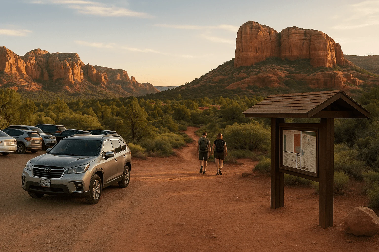
Start with the upper Airport Scenic Overlook if you want the landscape without a hike. If you choose the knoll instead, make the walking approach part of your morning rather than an afterthought. Then head back into town for lunch and a little browsing. Uptown’s SR 89A shops and visitor center are one option; Tlaquepaque and the Brewer Road area are another, south of the central roundabout.
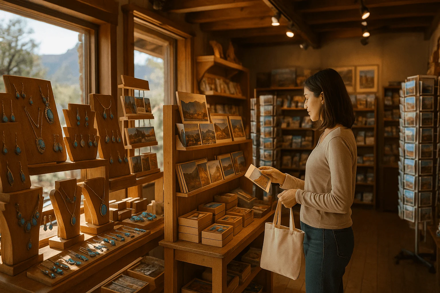
Near Tlaquepaque, Mi Amoré Sedona is in the historic Hart Store at 100 Brewer Road, open every day from 10am to 4:30pm. Its curated gifts and home-and-garden pieces make a lovely change of pace after an outdoor morning. It is a real destination on Brewer Road, not a shop on Uptown’s Main Street. If you want to browse before returning to a trail, leave time within those shop hours.
A southern outing: Bell Rock, with Cathedral only if it suits you
Choose a short Bell Rock walk, then have lunch in the Village of Oak Creek or along SR 179. If you have deliberately planned for Cathedral’s scramble, check the shuttle schedule and allow time for parking, waiting and the climb. You can do both in one day, but you do not need to turn a pleasant morning into a hot afternoon climbing challenge merely to tick off another vortex.
For families, keep Bell Rock as the outdoor anchor and choose a relaxed afternoon. A brief lower-path walk has an easier turnaround than a climb once everyone is tired. For travelers who chiefly want Cathedral’s creekside view, make Crescent Moon its own visit instead of treating it as an easy add-on beside Back O’ Beyond.
A canyon morning: Boynton Vista or the longer hike
Choose the Vista if you want a shorter introduction; choose the full canyon if walking is the main event. Afterward, West Sedona is the natural place to stop for food before deciding whether you still want an Airport sunset. This keeps the day coherent. Crossing town repeatedly to visit all four sites can leave more time behind a windshield than sitting in the landscape.
Would a guided vortex tour improve your visit?
You can visit these places independently; no spiritual guide is required. A guide is useful when you want conversation, a structured reflective experience or a tour vehicle that removes some driving decisions. Book the actual itinerary and transport arrangement, because “vortex tour” does not necessarily mean a private ride to the four sites above.
Sedona Vortex Odyssey is a three-hour small-group tour run by Dynamic Journey Tours. Its vehicle leaves from 105 Roadrunner Drive, Suite 9, and the listed stops are Airport Mesa, Amitabha Stupa and Lovers Knoll. Boynton Canyon is a pass-by on the itinerary, not a promised trail stop. This suits someone who wants a narrated introduction without driving between those stops, but it is not a private four-vortex circuit. The Stupa is a Tibetan Buddhist place of practice, not simply another vortex photo stop; respect its quiet visiting rules. Check the actual meeting time, terrain, weather and cancellation terms when selecting a date. View Sedona Vortex Odyssey dates on Viator →
Best Vortex & Chakra Tour of Sedona with Sheila Knies is a different three-hour small-group experience focused on reflection and a chakra reading. Crucially, guests meet across from 60 Stutz Bearcat Drive and follow the guide in their own car. It can suit travelers who have a vehicle and want the spiritual interpretation, but it does not solve a car-free visitor’s transport problem. Its listing does not promise stops at all four major sites. Confirm the route, walking demands and cancellation terms for your chosen departure. View the Best Vortex & Chakra Tour dates on Viator →
Practical details that keep the visit enjoyable
Before leaving your accommodation, download the trail map, look at the day’s forecast and check Coconino National Forest’s current alerts. Sedona-area closure orders can be narrower than the place name in a headline. An open trail yesterday is not an assurance of access on your travel date.
Bring drinking water, sun protection and shoes that grip uneven rock, even for a short outing. An early start can help with heat and parking, but neither “before 9am” nor “after 3pm” guarantees an empty lot. A late hike also needs enough daylight for the return, and a shuttle outing needs the last bus, not just the sunset time.
The official shuttle FAQ is the place to check expanded service dates and parking rules. The free fixed routes serve five specific trailheads, not a circuit of Sedona’s vortexes. Shuttle passengers do not need a trailhead parking pass for their ride. Do not confuse that system with separate on-demand or regional transport, or assume that a rideshare will be waiting after your hike.
Give people who are meditating space, keep music and voices considerate and leave the landscape as you found it. Stay on established routes, leave official route-marker cairns in place and do not build new rock stacks, hang objects on trees or leave offerings. Your experience does not have to look like anyone else’s. A simple walk, a few quiet minutes and an afternoon that still has room for lunch can be a very good Sedona day.
Related Sedona guides
- Plan a two-day Sedona itinerary
- Find a coffee stop for your morning
- Read how Sedona became a spiritual destination
GOOD TO KNOW