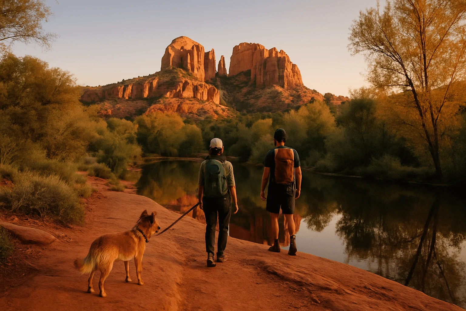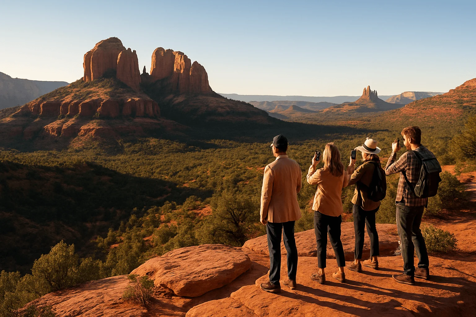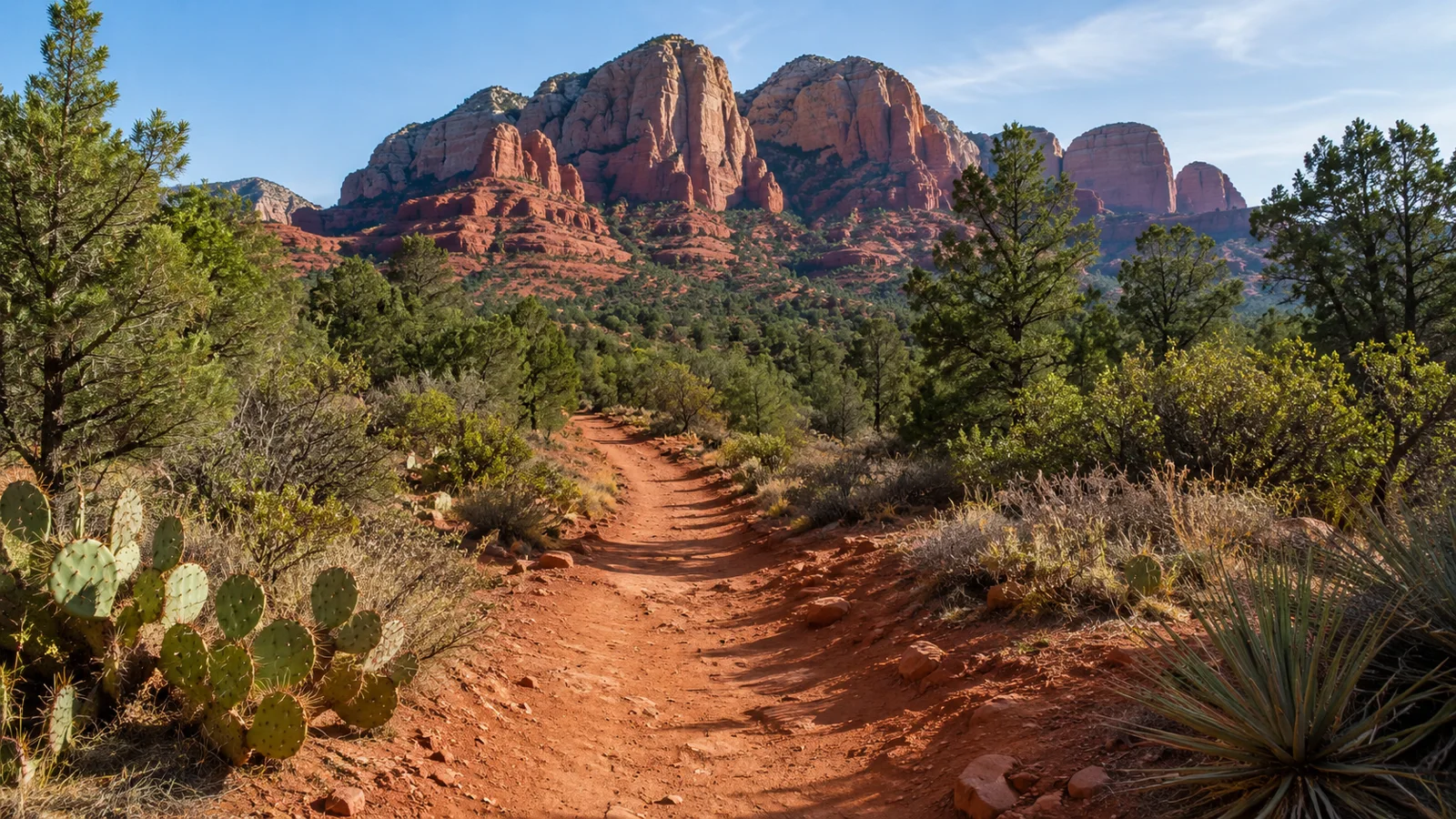
The best Sedona hike is the one whose terrain matches the day you actually have. Cathedral Rock is a steep hands-on climb. Devil's Bridge is an arch hike with an access puzzle before the named trail begins. Bell Rock can be a short base walk or a much bigger loop. West Fork trades summit views for shade and creek crossings.
For a first visit, choose Cathedral Rock if you want a scramble and are comfortable with exposure; choose Bell Rock or Big Park Loop if you want a flexible outing; choose West Fork when shade matters more than a high viewpoint. Devil's Bridge fits the classic photo goal, Airport Loop fits broad views near town, and Soldier Pass fits hikers interested in geology and a longer out-and-back.
The distances below come from Forest Service trail information, but the mileage from your car or shuttle can be longer. Parking location, access roads, connectors and detours all count, even when a social post reports only the named trail.
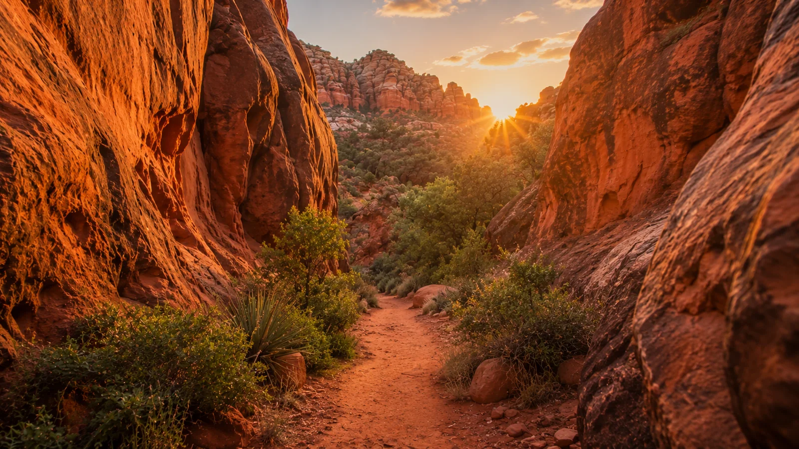
Cathedral Rock: the iconic scramble
The official Cathedral Rock Trail is short on paper: about 0.7 mile one way with roughly 600 feet of climbing. The middle is steep enough that many hikers use their hands on the sandstone. That makes the route feel much larger than its mileage.
Choose Cathedral when everyone in the group is comfortable with steep rock, route finding and the same descent on the way back. Skip it when height exposure, wet sandstone, ice or knee stability turns that challenge into anxiety. This is not a casual accessible viewpoint trail.
The trailhead is served by the Sedona Shuttle on its operating days. When the shuttle is running, the Cathedral Rock trailhead parking lots close. Use the current schedule and approved park-and-ride rather than circling a closed lot or parking in a neighborhood.
Sunrise and late-day light are popular, but darkness adds consequence to the descent. Bring a headlamp if your plan approaches either end of daylight. After rain or winter weather, choose a lower-angle trail unless the rock is clearly dry and footing is sound.
Devil's Bridge: the arch is only part of the hike
The named Devil's Bridge Trail is about 0.8 mile one way with roughly 350 feet of gain from the official four-wheel-drive access area. Most visitors should not read that as their total outing. Passenger vehicles and shuttle riders begin farther away and connect by road or trail, so the full walk can be several miles.
Choose Devil's Bridge when standing near the sandstone arch is the main goal and you are willing to share a popular route. The final approach has rock steps and a narrower section near the bridge. You do not have to walk onto the arch to have completed a worthwhile hike.
Before leaving, decide your legal start point and map the entire route both ways. Do not follow an ordinary car onto an unpaved approach simply because another driver tried it. If parking or the connector is unclear, use the current Sedona Shuttle information and Forest Service map.
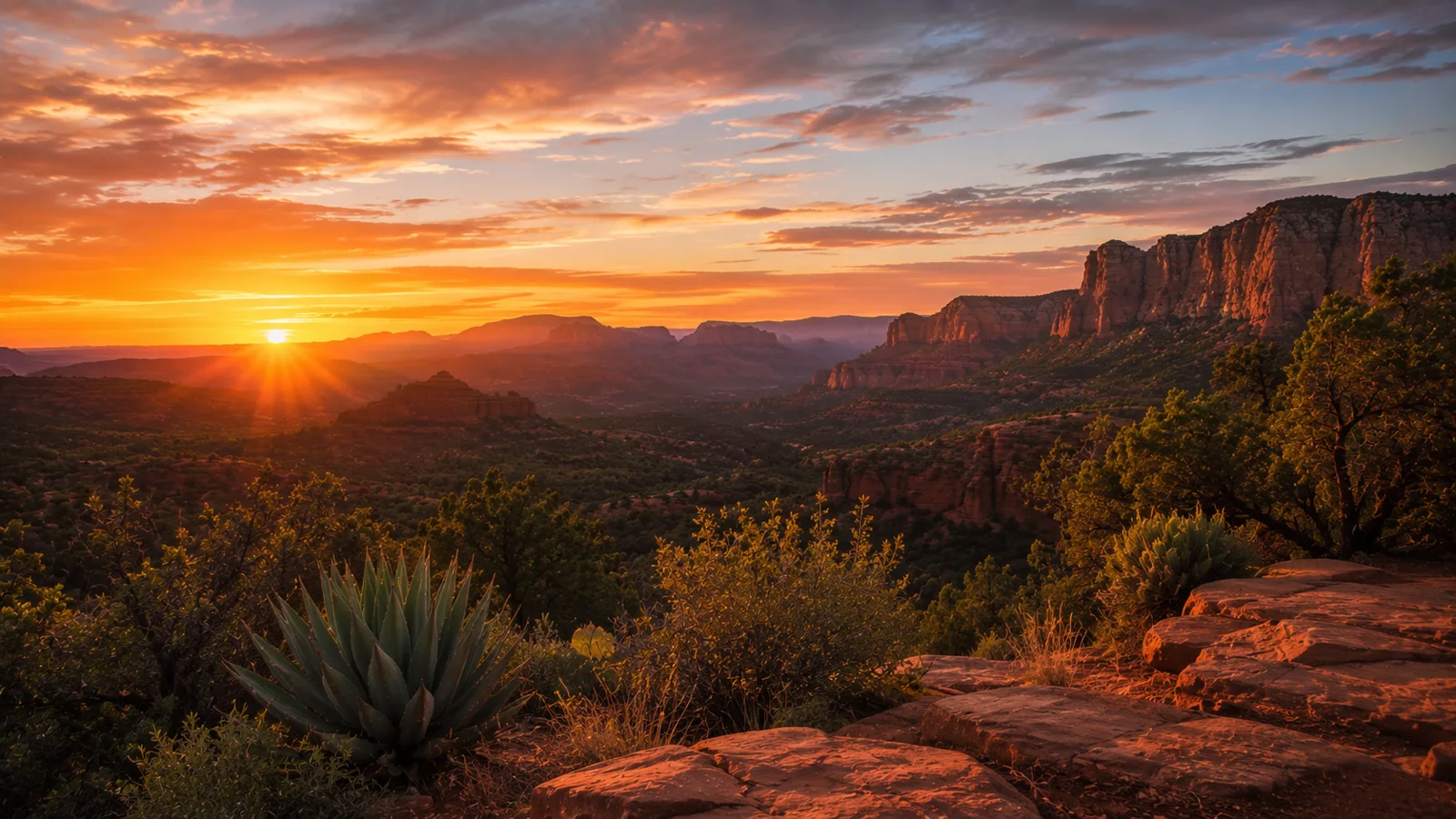
Bell Rock and Courthouse Butte: pick the loop before you start
Bell Rock is often described as easy because the first views arrive quickly. That statement becomes misleading when it is applied to climbing the formation or completing the full 4.3-mile Courthouse Butte Loop, with about 350 feet of elevation change. The loop is largely exposed and includes rocky trail.
For a short outing, stay on the signed lower pathways and turn around while everyone still feels good. Big Park Loop is another lower-area option, about one mile round trip in the Forest Service guide. For a longer hike, commit to Courthouse Butte and carry the water and sun protection for the whole loop.
Do not treat the worn tracks climbing Bell Rock as one official staircase to a summit. Choose a conservative turnaround and remember that the downclimb can feel harder than the way up. This area is useful for mixed groups precisely because the outing can remain short without being visually disappointing.
Airport Loop: panoramic, convenient and rockier than it looks
Airport Loop is about 3.3 miles with roughly 200 feet of overall elevation change. The numbers sound gentle, but parts of the loop are narrow and rocky, with uneven footing and open exposure to sun and wind.
Choose it for changing views across West Sedona and the surrounding formations. Skip it as the default “easy” recommendation for someone who needs a wide, smooth path. The small trailhead near Airport Mesa can fill quickly; obey posted parking rules and do not stop in the road while waiting for a space.
Late light can be beautiful, but the loop takes longer than a viewpoint stop. If sunset is the plan, know whether you are walking the loop or only visiting an overlook, and carry a light for the return.
West Fork: shade, creek crossings and a different kind of Sedona
West Fork Trail enters Oak Creek Canyon through the Call of the Canyon day-use area, about 10.5 miles north of Sedona on State Route 89A. The developed opening passes a footbridge and old lodge ruins; farther in, the trail repeatedly crosses the creek.
The commonly traveled maintained portion reaches about 3.3 miles one way. Choose West Fork for canyon walls, trees and water rather than an exposed red-rock summit. Shoes may get wet, stepping stones shift and the creek can become unsafe after storms or snowmelt.
The day-use lot has limited capacity and a fee, and roadside parking along the highway introduces its own risk and restrictions. Arrive with a backup. Oak Creek Canyon can also be affected by weather, construction, fire restrictions and road closures, so check Forest Service alerts and AZ511 before the drive.
Soldier Pass: geology, shuttle logistics and a longer commitment
Soldier Pass Trail is about 2.4 miles one way with roughly 450 feet of gain in the Forest Service recreation guide. Devil's Kitchen and the Seven Sacred Pools appear early enough to make a shorter out-and-back possible, while continuing toward Brins Mesa creates a much bigger day.
Choose it when the geology interests you and the group can agree on a turnaround before starting. The trailhead is part of Sedona's shuttle system on operating days, when the small trailhead lot is closed. Neighborhood parking is not a substitute.
Online cave directions can lead people onto unofficial, steep and eroding side routes. Stay on signed system trails and respect closures. A photo does not justify widening a social path or crossing a restoration area.
How to choose among these six
Choose Cathedral Rock for a compact, strenuous scramble. Choose Devil's Bridge for the arch, accepting a longer approach and company. Choose Bell Rock when the group needs several turnaround options. Choose Airport Loop for a full panorama near town. Choose West Fork for shade and water. Choose Soldier Pass for geology and a route that can grow into a longer hike.
Do not use distance alone as the difficulty rating. Surface, exposure, scrambling, shade, elevation gain, temperature and the return journey matter. A one-mile scramble can be more demanding than a four-mile walk on stable ground.
When a private guide is worth paying for
A guide can be useful when route decisions are making the group nervous, you want gear provided, or the trip would benefit from someone else handling pickup and pacing. The Sedona Creekside of Cathedral Rock Hike With a Private Guide is a private outing near Oak Creek and Cathedral Rock, not a booking for the steep Cathedral Rock summit trail described above.
The Viator listing checked for this guide describes an approximately four-hour experience with pickup, hiking gear, snacks and water. It is supplied by Trail Lovers Excursions and is listed as not wheelchair accessible. The route may change with conditions, which is useful when weather affects the creek but also means the exact scenery should not be assumed.
View private guided-hike dates on Viator →
Trailhead rules can change the morning
Sedona's trailhead shuttle generally serves selected routes Thursday through Sunday, with added daily service during designated spring-break and holiday periods. Cathedral Rock and Soldier Pass parking close while their shuttle routes operate. Check the live schedule for your exact date and use the named park-and-ride.
A Red Rock Pass or federal recreation pass may be required at some developed sites, while other day-use areas have a separate fee. Read the sign at the trailhead; one pass does not automatically cover every lot. Keep valuables out of sight and never block a gate, bike lane, driveway or emergency access.
Cell service is not a route plan. Download the current map, note the junctions you need, and tell someone which trail you chose. Carry water, food, sun protection and a layer even when the route appears short.
Heat, storms and winter all change the recommendation
In late spring and summer, begin exposed hikes early enough to be off the hottest rock before the afternoon. During monsoon season, building clouds and thunder are reasons to leave ridges and open slickrock. Flash flooding can affect creek crossings and washes even when the storm is not directly overhead. Our month-by-month Sedona guide explains how that daily rhythm changes through the year.
In winter, shaded ice can remain after sunny areas dry. Snow on red rock is not an invitation to attempt a steep scramble without suitable traction and experience. Fire restrictions, washouts and temporary closures can happen in any season; check the Coconino National Forest alert page close to departure.
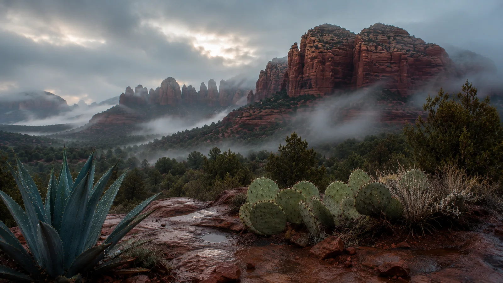
Give the hike room to be the main event
One good trail is enough for a memorable Sedona morning. Afterward, eat, refill water and let the rest of the day stay gentle. If you are coming back through the Tlaquepaque and Brewer Road area, Mi Amoré Sedona is inside the historic Hart Store at 100 Brewer Road, with curated gifts and home and garden finds and a calmer pace after the trail.
Choose the terrain honestly, solve the trailhead before leaving the hotel and turn around with energy in reserve. That is what makes a Sedona hike feel like the highlight of the trip instead of a problem you survived.
GOOD TO KNOW