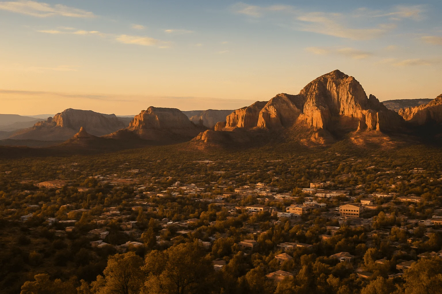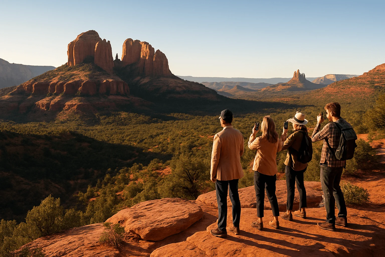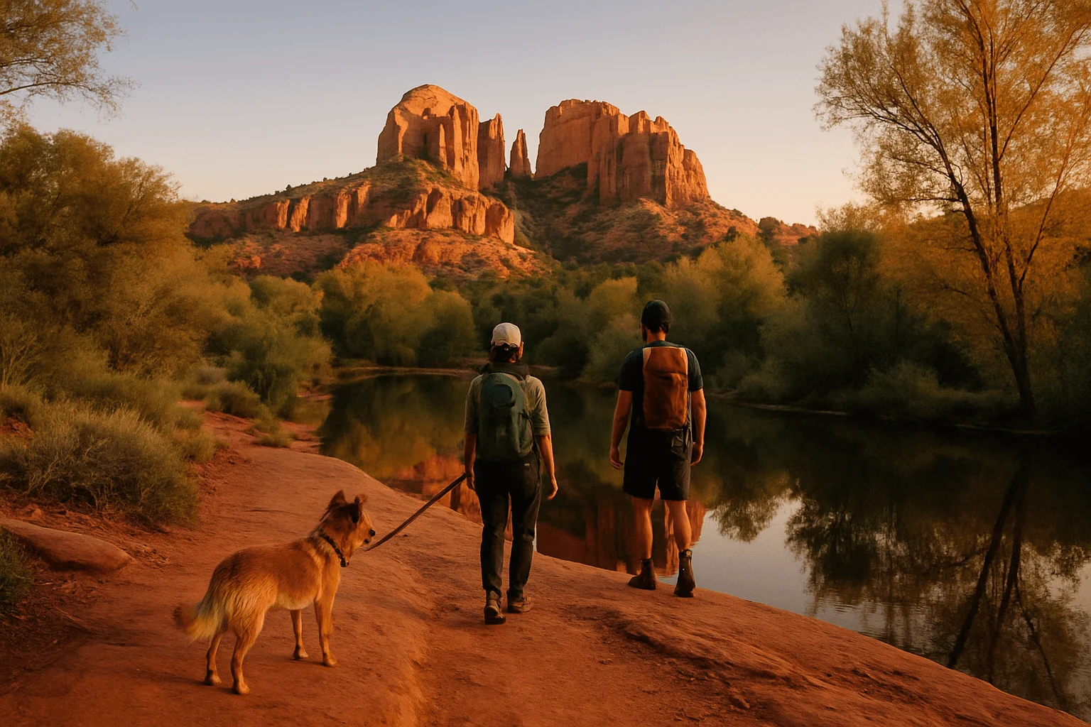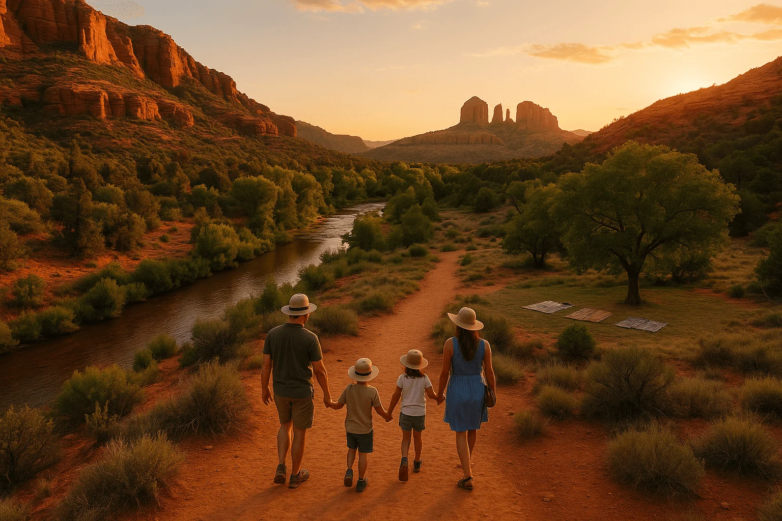
With children, the best Sedona trail is rarely the one with the most famous finish line. It is the walk that gets you to red-rock scenery before the youngest hiker runs out of energy—and gives you a clear way back. From an Uptown base, I would choose a short signed path on the State Route 179 corridor, a brief viewpoint, or Red Rock State Park before promising a toddler the full Chicken Point or Airport Loop hike.
“Easy” is a trail rating, not a stroller or safety guarantee. Distances below are for the route stated, and Sedona’s rock, sand, heat and exposed edges still require attention. The Forest Service trail guide is useful for checking the full route before a child negotiates how far the family will go.
The easiest wins when you want a real trail
Big Park Loop: a defined one-mile walk near Bell Rock
For a school-age child who wants to say they finished a hike, Big Park is an unusually manageable choice: the Forest Service describes a one-mile round trip, rated easy, with about 50 feet of elevation change. Begin at the south Bell Rock Vista parking area and follow the signed Big Park route rather than wandering onto the much longer Courthouse Butte Loop. The formations feel close all the way around, so there is a reason to keep walking besides the promise of a distant endpoint.
Bell Rock Vista is in the Village of Oak Creek, south of central Sedona—not in Uptown. Parking requires a Red Rock Pass or an accepted federal pass. The route is exposed and natural-surface; bring a child carrier if someone may stop walking, rather than counting on a stroller. If a one-mile loop is too ambitious that day, stay on the wide lower Bell Rock Pathway and turn around while everyone is still having fun. The full Pathway is 3.7 miles one way; a little piece of it is the family walk, not the whole thing.
Yavapai Vista: half a mile out and back, with a restroom
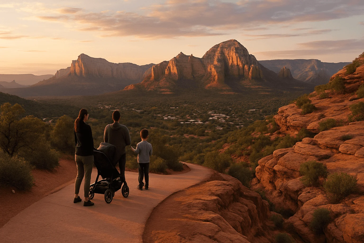
On State Route 179, Yavapai Vista is the simplest measurable red-rock outing in this guide: the Forest Service lists it as a 0.5-mile out-and-back, with restrooms at the site but no drinking water. It still has a dirt-and-rock surface and open sun. It is good for a child who wants to walk to a view and return without the ambiguity of a network of connecting trails. A Red Rock Pass or accepted federal pass is required to park; check the site notice before leaving the lot.
Fay Canyon: a longer, gentle-feeling canyon walk
Fay Canyon suits a family with children comfortable doing more than a short loop. The Forest Service lists the signed trail as 1.1 miles one way with about 150 feet of elevation change. That makes the full out-and-back roughly 2.2 miles, before pauses. Canyon walls give the walk a sense of discovery, but the footing is still natural and the route can be hot. For little legs, agree on a turnaround time rather than making the trail end mandatory.
Fay is off Boynton Pass Road, west of Uptown, and the developed trailhead is not a neighborhood parking workaround. Look for the posted pass requirement. Keep children on the main trail; the informal scramble toward Fay Canyon Arch is a different, steeper undertaking and should not be folded into an “easy kid hike.”
Two short-outing ideas close to central Sedona
Airport Scenic Overlook: a view without pretending it is the loop
If the family only has a little energy left, use the upper Airport Scenic Overlook as a viewpoint: park in the signed lot, cross Airport Road at the crosswalk and take in the panorama. The airport currently lists a $3 parking fee. It expressly says do not walk along Airport Road; pedestrians are prohibited there. Do not confuse this overlook visit with the rocky Airport Loop, about 3.2 miles, or the 0.7-mile Sedona View Trail connecting upper and lower lots. Neither trail is a promised paved stroller route. The viewpoint is a better fit when a child wants scenery without a full hike.
Little Horse: turn back early instead of promising Chicken Point
Little Horse begins on the State Route 179 corridor, closer to central Sedona than Bell Rock Vista. It gives you red-rock views soon after leaving the trailhead, so walking a modest stretch and returning is a valid plan. The Forest Service’s 1.5-mile one-way listing puts a full Chicken Point outing near three miles round trip, with about 300 feet of elevation change; that is not a tiny toddler walk. Bikes also use this corridor. Keep children to the side when riders approach, and carry smaller kids if they cannot manage rock and sand.
The Sedona Shuttle’s Route 15 serves Little Horse on operating days from the North State Route 179 park-and-ride. Check the current service day and last return before committing; shuttle frequency can change. The Bell Rock Vista lot is farther south and is not the Little Horse stop.
When the child wants creek shade instead of another red-rock hill
Red Rock State Park is the calmer choice for children who want to watch birds and explore a marked route. Arizona State Parks calls its Smoke Trail an easy walk through Oak Creek’s riparian area. Stop at the visitor center, choose a short signed circuit for the group and ask staff which current trail surface fits your child or stroller. The park is on Red Rock Loop Road, away from Uptown; admission applies. Crucially, the park prohibits swimming and wading in the creek. It is a nature walk, not a splash stop.
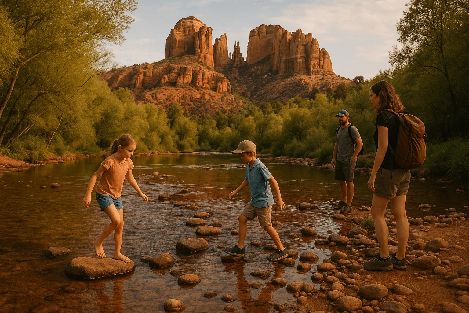
If water play is the point, Crescent Moon Picnic Site at Red Rock Crossing is a different outing: a day-use picnic area with Oak Creek access and Cathedral Rock views, not a named short hike. The Forest Service describes people swimming and wading there, but natural water has slippery rocks, changing depth and no promise of safe toddler conditions. Keep young children at arm’s reach, assess the water on arrival and leave the creek entirely if storms are possible upstream.
West Fork Trail No. 108 is closed under a Forest Service order beginning September 26, 2026, scheduled through October 31 unless rescinded. Do not plan that canyon hike now; recheck the Forest Service order before any later trip. Slide Rock is a separate state-park water outing with its own entrance rules, not a quick Uptown trail. Save it for a half-day when the family has the time, shoes and weather window. “Creek nearby” should not be shorthand for an easy, safe walking surface.
A family plan that survives real Sedona conditions
Choose one hike, not a menu of three. For a child ready to walk a mile, Big Park gives a clear finish; for a shorter outing with a restroom, choose Yavapai Vista. If weather or patience is uncertain, use the Airport overlook and keep the longer hike for another morning. Download the official map before service fades, pack water for every person and turn around early enough that the return still feels enjoyable. The National Weather Service warns that storms far upstream can produce flash flooding; avoid creek beds and low crossings when thunderstorms threaten. In hot weather, choose the cooler part of the day and shorten the route rather than treating shade as a substitute for water.
A practical two-part day from Uptown is one short morning trail, lunch, then a gentler afternoon around Tlaquepaque. Nearby at the historic Hart Store, Mi Amoré Sedona at 100 Brewer Road is an easy browse for a thoughtful gift or something for home after the dusty shoes come off; it is open daily 10 a.m.–4:30 p.m. The store is near Tlaquepaque, not on Uptown Main Street. For a wider menu of routes, see our Sedona hiking guide and the trailhead shuttle guide.
GOOD TO KNOW