A quieter Sedona hike usually comes from choosing the right kind of day, rather than finding a place nobody else knows. For a short scenic outing, try Secret Slickrock or the main Fay Canyon trail. For a substantial climb, consider Bear Mountain or Wilson Mountain. If you have time for a longer canyon walk, Munds Wagon gives you a different perspective on the landscape east of town.
The seven choices below range from brief viewpoints to full mountain days. Some are popular themselves—especially Soldier Pass and Boynton Canyon—so “hidden” should not be read as a promise of solitude. The useful distinction is the experience you want: open slickrock, a sheltered canyon, an uphill challenge, or a view you can enjoy without joining a cave-photo queue.
Short outings with a view worth lingering over
1. Secret Slickrock: Cathedral Rock from across the valley
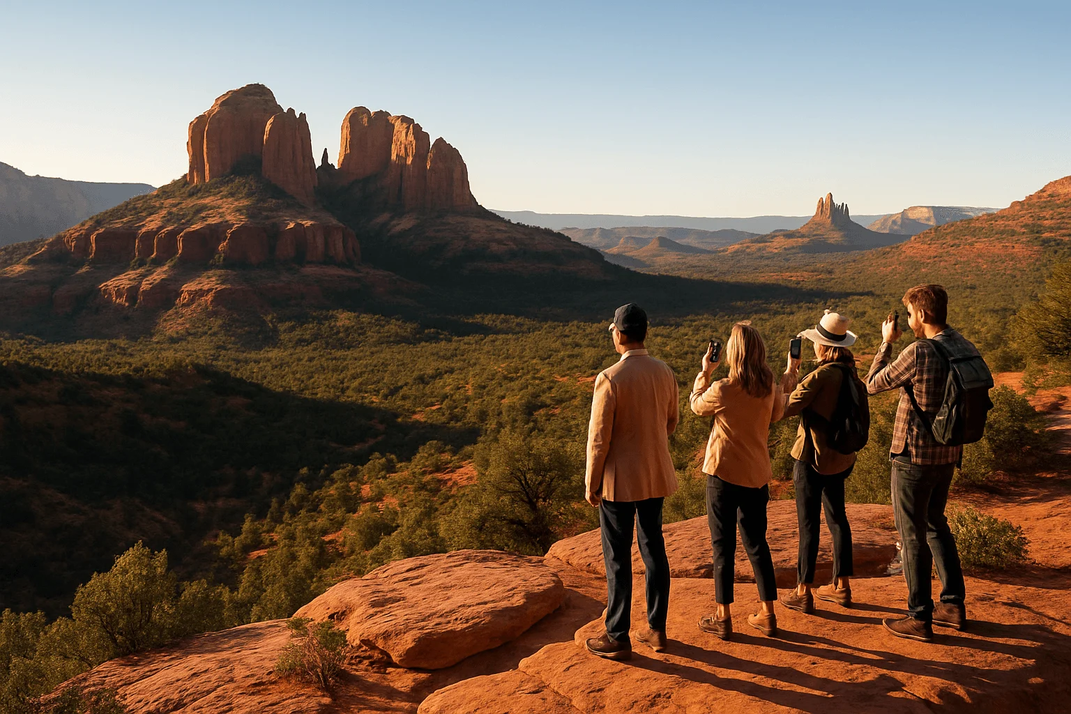
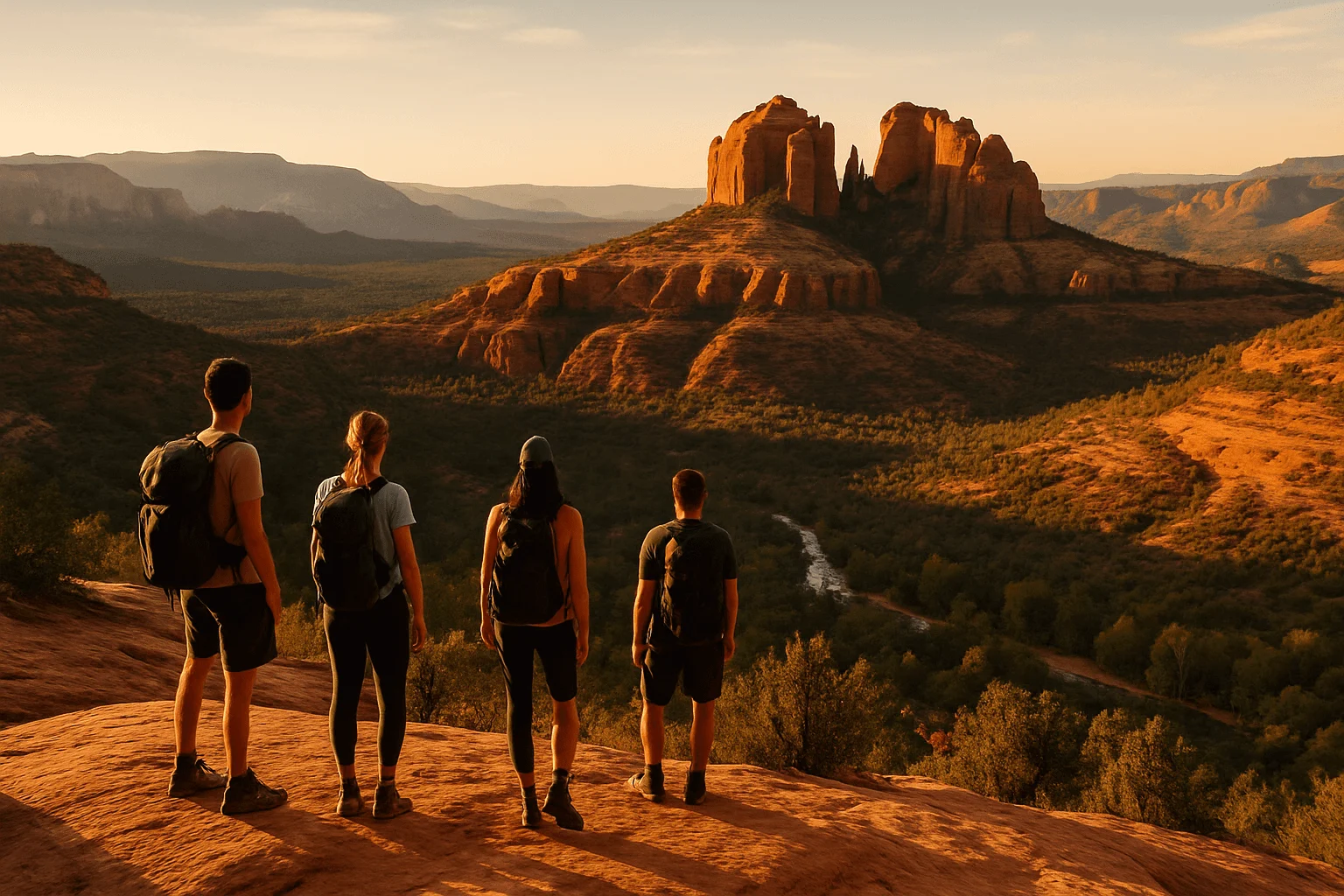
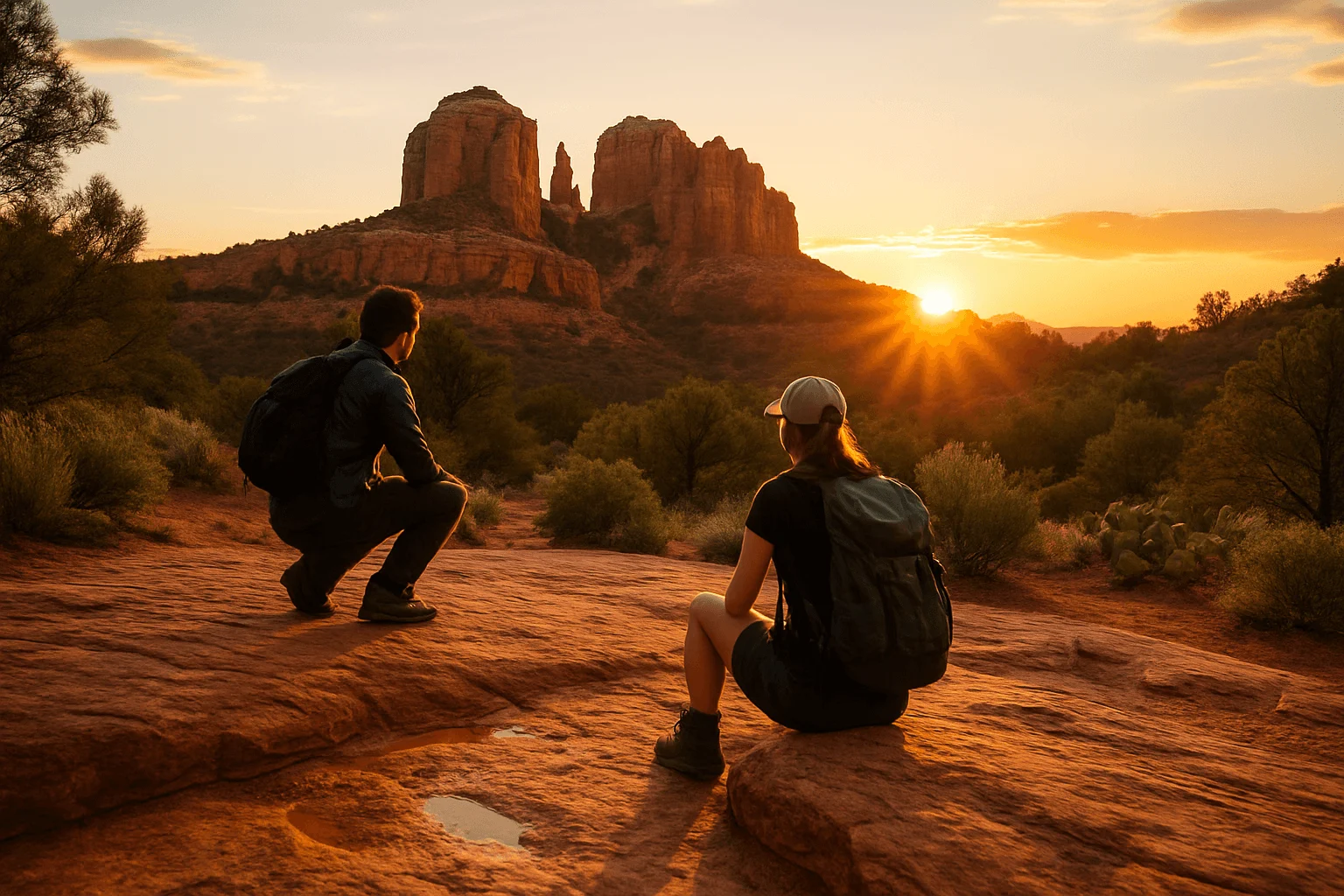
This short trail reaches a broad rock ledge above the Red Rock Crossing area, with Cathedral Rock across the landscape. It is a good choice when you want the formation in your view rather than a scramble up it. After sufficient rain, shallow rock pockets may hold reflecting water; the view is still worthwhile when those pockets are dry.
The Forest Service's Red Rock Recreation Guide lists Secret Slickrock at 0.4 miles one way, making the simple return outing about 0.8 miles. There is little climbing, but exposed rock and uneven footing keep it from being a paved, accessible overlook.
Use the Secret Slickrock trailhead on Chavez Ranch Road, reached via Upper Red Rock Loop Road from West Sedona. The short approach begins across the road from the small parking area beside a locked gate, as described in the local Wanderer's Guide. Follow the trail signs rather than walking down a gated ranch road or assuming Crescent Moon's entrance is the same starting point.
Late light can be lovely here, but sunset is also an obvious draw for photographers. Allow time to return in daylight or carry a headlamp, keep the trail and gate clear, and follow the current parking signs. If spaces are full, choose another outing rather than making a residential shoulder into a new lot.
2. Fay Canyon: an easier canyon walk, with an optional arch detour
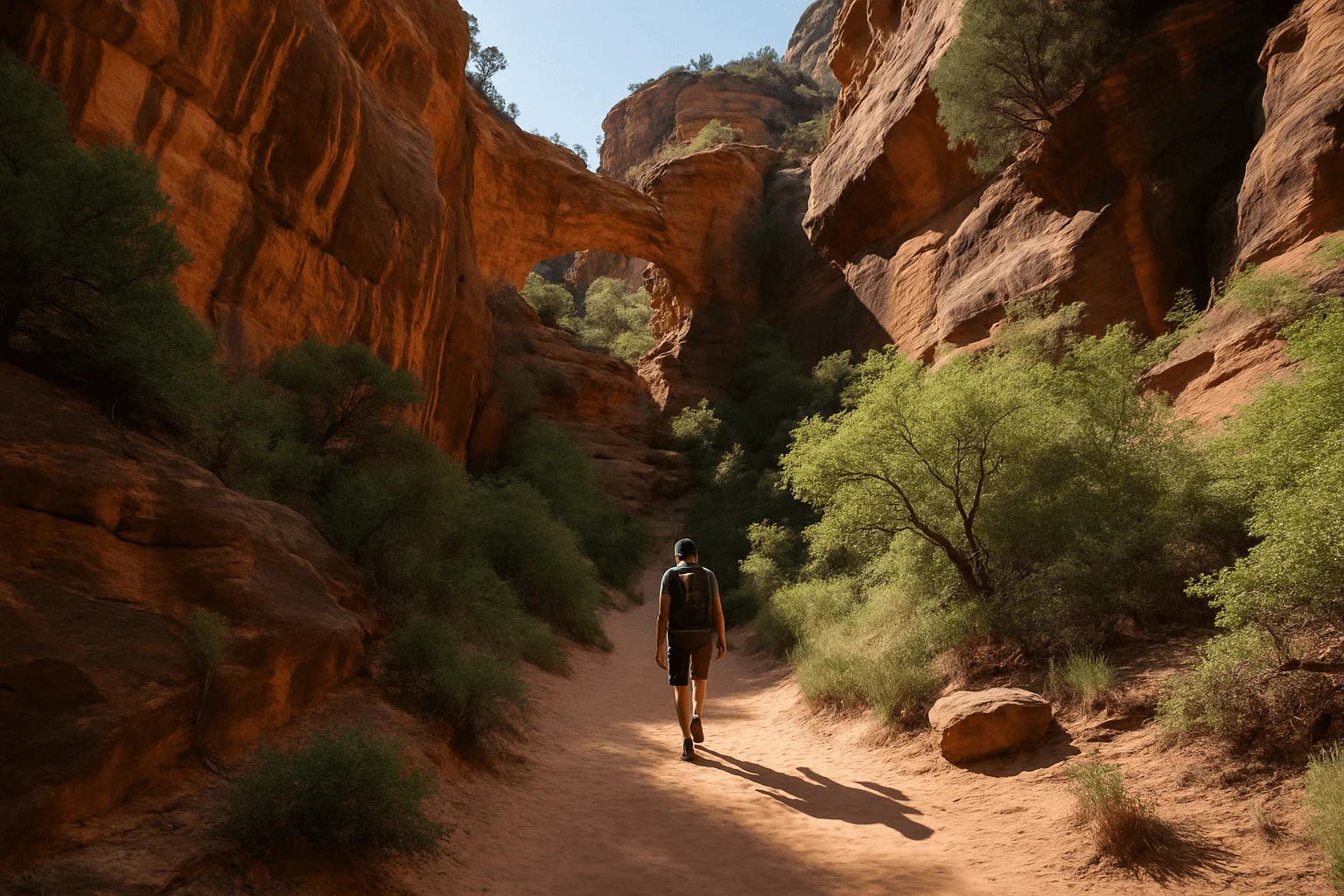
Fay Canyon offers the pleasure of walking between tall red walls without committing to a large ascent. The main trail is the part to choose for a gentler morning: the Forest Service lists 2.1 miles round trip and about 144 feet of gain. Its official description ends at a sandstone cliff, so you do not need to scramble beyond that endpoint for the hike to count.
Park in the signed Fay Canyon lot on Boynton Pass Road and cross the road to the trailhead. There are shaded stretches and a different, more enclosed feel than an open mesa, although the Forest Service cautions that this canyon can still be hot and dry in summer. Choose the forecast and start time accordingly.
The arch is an optional side outing, not part of the main trail's easy mileage and difficulty. The Hike House's route description notes a short, steep approach that can be difficult to locate. If you want to add it, establish the route beforehand and allow extra time for the descent; do not follow every faint track into the vegetation. Staying on the main trail remains a worthwhile choice.
Read the official Fay Canyon description for the maintained outing. It is often a better match for someone seeking a relaxed canyon experience than choosing a cave because a photo makes the approach look easy.
Two familiar trail systems, with very different endpoints
3. Boynton Vista: a short viewpoint, separate from the Subway Cave
Boynton Vista is the option to choose when you want a brief outing near Boynton Canyon. Start at the Boynton Canyon trailhead outside Enchantment Resort's entrance, then follow the signed Vista spur. The Forest Service map shows a 0.2-mile spur after the initial approach; allow roughly a mile return from the parking area, with the steeper part near the viewpoint.
The attraction is the close arrangement of rock formations and the canyon setting, rather than distance covered. Boynton also has an association with vortex beliefs. You can appreciate the scenery whether or not those spiritual interpretations are part of your trip.
Do not confuse that short outing with either the full Boynton Canyon trail or the Subway Cave. The Forest Service currently lists Boynton Canyon at six miles out and back. The cave requires a separate informal side route deeper in the canyon, with scrambling and ledges; it is not something you reach by simply continuing a few steps past Boynton Vista.
Boynton is well known and its trailhead can be busy. If peace is your priority, the short Vista stop may not deliver it at a popular time. You might prefer a canyon walk, or a different trail entirely. Respect resort boundaries and cultural sites; do not climb on ruins or treat an alcove as an invitation to explore every ledge.
The official Boynton Canyon page helps distinguish the full canyon walk from the shorter spur. Use the named trailhead's legal parking spaces and posted restrictions rather than relying on an old recommendation to park anywhere along Boynton Pass Road.
4. Soldier Pass: geology first, cave climbing optional
Soldier Pass is an interesting hike, but its best-known features are no longer secret. The first part passes Devil's Kitchen sinkhole and the Seven Sacred Pools; the maintained trail then continues uphill toward Brins Mesa. The Forest Service describes the lower section as often busy, with off-road traffic nearby, and greater potential for solitude farther into the wilderness.
For a brief outing from the Soldier Pass trailhead, the official route description places Devil's Kitchen around a quarter mile in and the pools about another quarter mile farther. Returning from the pools is therefore approximately a mile in total. Their appearance depends on recent water conditions; dry pools are not a failed hike, and wet rock is not a reason to edge closer for a photograph.
The full maintained trail is a different commitment. The current Forest Service page gives four miles return in its summary and 4.5 in the narrative, while its printed guide lists 2.4 miles one way. Plan for roughly four to five miles if continuing to the upper trail junction and returning, then map any extra cave spur or loop separately.
Soldier Pass Cave and Birthing Cave are different places. Birthing Cave is approached from the Long Canyon area. Soldier Pass Cave is a side outing off this trail, with a steep approach and a climb into the alcove. Firsthand guides describe the descent as a difficulty for some visitors. The sinkhole, pools and maintained trail make a complete day without that climb.
Getting to Soldier Pass without the parking scramble
The free Route 14 shuttle serves Soldier Pass from Posse Grounds Park & Ride, 20 Carruth Drive. The park-and-ride is not the trailhead itself. During shuttle operation, the small trailhead lot closes to private vehicles; outside those service periods, the individual trailhead and parking access are restricted to 8am–6pm. The shuttle's authorized early arrival is separately scheduled.
Check Route 14 and the current parking rules before planning a sunrise start. Neighborhood streets are not an overflow solution. The Forest Service also identifies Jim Thompson as an alternative starting area, but reaching Soldier Pass from there adds connecting-trail distance. Download that complete route rather than treating the two parking areas as interchangeable.
Likewise, Soldier Pass does not become a loop simply by continuing forward. A Brins Mesa/Jordan/Cibola circuit needs its own mapped distance, navigation and time allowance. Read the official Soldier Pass description before choosing your endpoint.
Mountain days for hikers who want more than a short viewpoint
5. Bear Mountain: broad views and repeated uphill pitches
Bear Mountain is the choice for a steep outing in the Boynton Pass area. The current Forest Service description lists 4.6 miles return; plan on roughly five miles and around 2,000 feet of climbing. Its published elevation figures vary, but the strenuous character is consistent.
Start from the shared Bear/Doe Mountain parking area and cross the road to Bear's trailhead. Several plateaus and apparent tops interrupt the ascent, so the next skyline is not necessarily the finish. Across tilted bare rock, watch for the land manager's white diamond markers and keep your route clear for the way down.
Choose Bear because you enjoy the climb, not because it promises an empty summit. It is mostly unshaded, and the Forest Service advises against attempting it with significant snow present. You can turn around earlier and still have a rewarding landscape in front of you.
6. Wilson Mountain: a full day above Oak Creek Canyon
Wilson offers a longer mountain experience north of Uptown. The south route, Trail No. 10 from Midgley Bridge, is listed at 5.6 miles one way with about 2,400 feet of gain. Walking the entire listed trail and returning means roughly 11.2 miles; a particular overlook or earlier turnaround changes that distance.
North Wilson Trail No. 123 from Encinoso Picnic Area joins the main route partway up. The Forest Service describes it as a cooler approach, but it is still a substantial climb. Map your intended endpoint from the actual starting area rather than applying Midgley's mileage to Encinoso.
Wilson suits a patient hiking day with enough supplies and daylight for the return. Partial shade does not erase its exposed sections, and the weather up the mountain can influence the outing even when town feels comfortable. If your group wants a quick morning followed by lunch, choose one of the shorter trails instead.
Our guide to Sedona's hardest hikes compares these two established mountain trails with the area's summit scrambles, so you can choose the kind of challenge that fits.
7. Munds Wagon to Merry-Go-Round Rock: a longer walk east of town
Munds Wagon follows the Bear Wallow Canyon corridor, with rocky drainage sections, changing views and glimpses of the landscape around Schnebly Hill. Start at the Huckaby/Margs Draw parking area on the paved lower section of Schnebly Hill Road. Follow Munds Wagon Trail No. 78 rather than driving farther uphill to shorten the outing in an unsuitable vehicle.
A return hike specifically to Merry-Go-Round Rock is commonly mapped at around 6.5 miles. The full Munds Wagon trail is longer: the Forest Service lists four miles one way to its upper endpoint. These figures describe different trips. Download the intended Merry-Go-Round route and allow for its climbing and any exploration at the viewpoint.
The official description runs downhill from the east; starting at the lower west trailhead reverses that into an uphill outing. Do not assume its “moderate” downhill description means an easy walk from town. Road crossings and shared mountain-bike use also require attention, and the nearby Jeep corridor means this is not a guaranteed silent wilderness experience.
The Forest Service specifically calls for high-clearance four-wheel drive on the rough upper Schnebly Hill Road. A short walk from a higher roadside start belongs to a different vehicle and access plan. Read the official Munds Wagon information before deciding how to reach the view.
A private hike when you would rather leave the route planning to a guide
If your goal is an enjoyable landscape walk rather than finding every junction yourself, Trail Lovers' Creekside of Cathedral Rock private hike is a relevant alternative. It follows the Baldwin/Templeton area below Cathedral Rock, rather than climbing its spires or visiting the caves above. The operator describes about three miles of walking and three hours on the trail plus roughly an hour of logistics.
The Viator listing includes a private guide, transport from Sedona and Village of Oak Creek accommodations, hiking equipment, snacks, water and the parking pass. Day visitors arrange a meeting location with the provider. It is not wheelchair accessible; discuss your group's walking needs and how weather might affect the route before booking. The operator also states that attendees need medical insurance. Viator currently allows cancellation up to 24 hours before the experience for a full refund; confirm the terms on your selected ticket.
View Creekside of Cathedral Rock hike dates on Viator →
Make the quieter day a practical one
A weekday morning can give you more flexibility, but choose a route that fits the day's heat and your group first. Carry navigation, water and food for the entire return, and leave your plan with someone. The city's hot-weather guidance recommends planning at least a liter of water per person per hour; a small bottle and the word “easy” are not enough preparation for an exposed trail.
Check current Forest Service alerts for named closures. Bear Sign and Bear Mountain are different trails, and a fire order for one should not be applied to the other by name alone. A parking pass likewise does not authorize entering a closed area. The official fee-site list identifies where Red Rock or qualifying federal passes apply; the shuttle's free park-and-ride avoids trailhead parking charges for its riders.
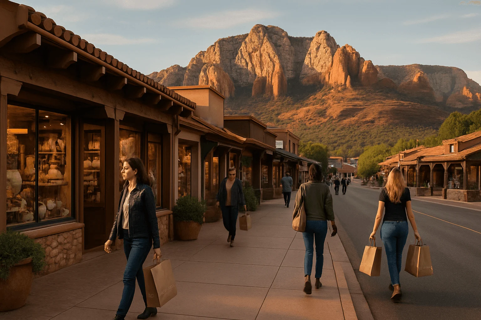
For a shorter hike followed by a slower afternoon, stop at Mi Amoré Sedona in the historic Hart Store at 100 Brewer Road. Curated gifts and home and garden finds make an enjoyable change of pace after the trail. The shop opens daily 10am–4:30pm, so fit the visit around your actual return time.
You can also use our main Sedona hiking guide to balance these outings with the better-known classics. There is no need to choose between famous scenery and a good day; understanding the route and giving yourself time to enjoy it often matters more than how secret its name sounds.
GOOD TO KNOW