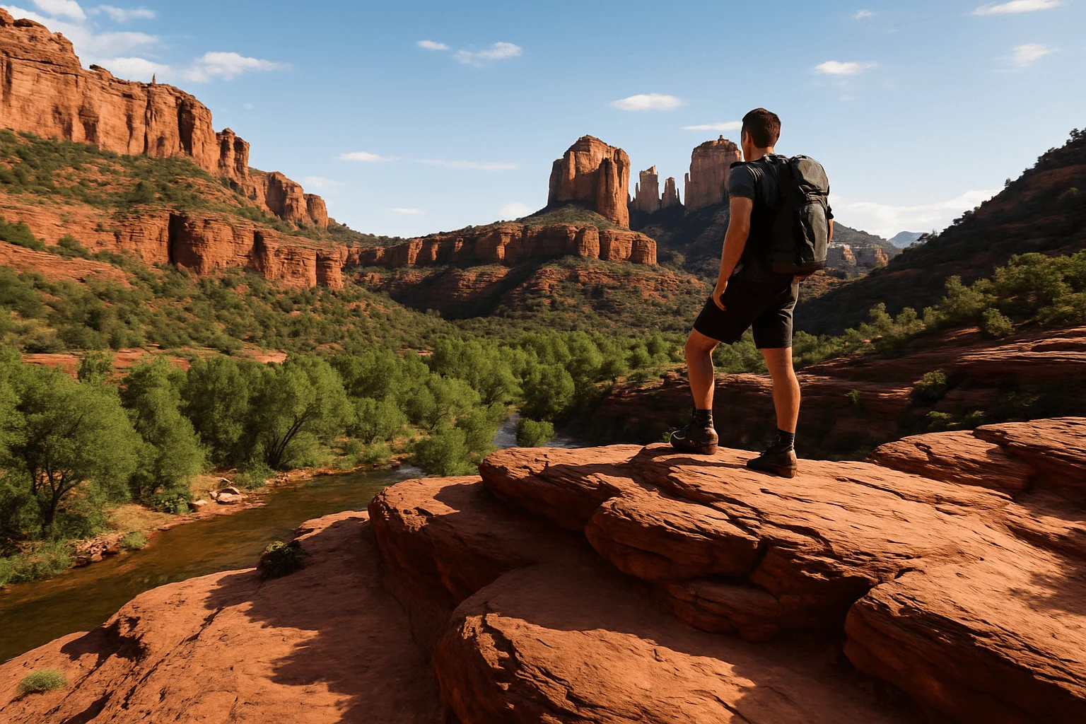
Here is the honest answer before you build a day around the word “waterfall”: Sedona itself does not have a dependable tall waterfall hike. Most search results are really describing Oak Creek, swimming holes, a natural rock slide or shallow sandstone pools that may dry up. Those can be excellent outings, but they are different experiences.
If seeing an actual waterfall is the goal, plan the longer drive to Fossil Creek and solve its permit and road logistics first. If you mainly want cool canyon shade, moving water or a place to put your feet in the creek, compare Slide Rock or Crescent Moon Ranch closer to Sedona. Save West Fork for a future trip after its closure is lifted. The right choice depends on the kind of water you expect to find.
October 10, 2026 access check: West Fork Trail is closed through October 31 under the Forest Service’s current order, unless rescinded. Keep it off this trip’s plan; the listed end date does not guarantee reopening.
Choose the water experience you actually want
- A real waterfall: Fossil Creek’s waterfall near the Dixon Lewis trailhead, with a seasonal permit system and a rough access road.
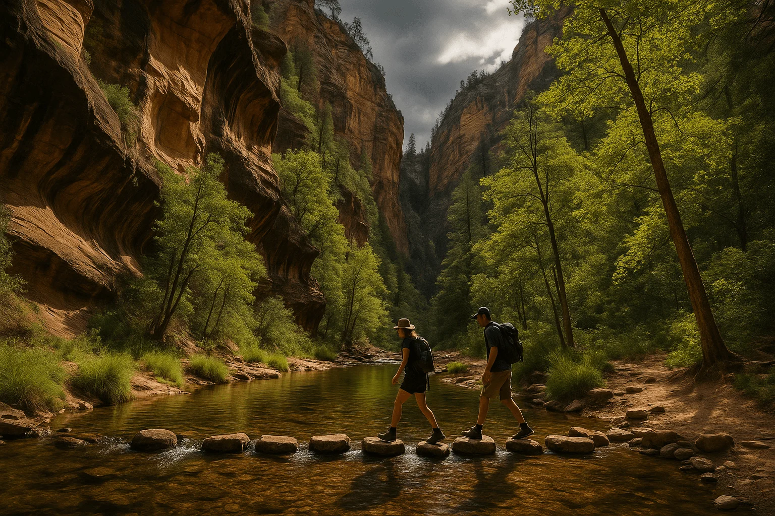
- A shaded creek hike after reopening: West Fork, where the standard trail repeatedly crosses Oak Creek.
- A natural slide and swimming area: Slide Rock State Park, when the swim area is open and current water conditions are acceptable.
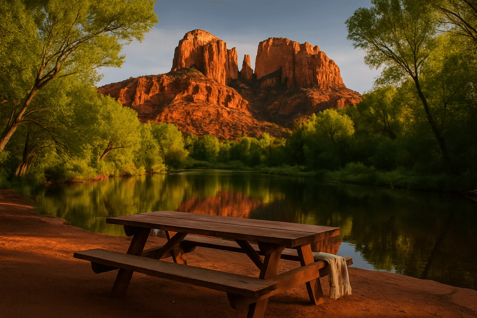
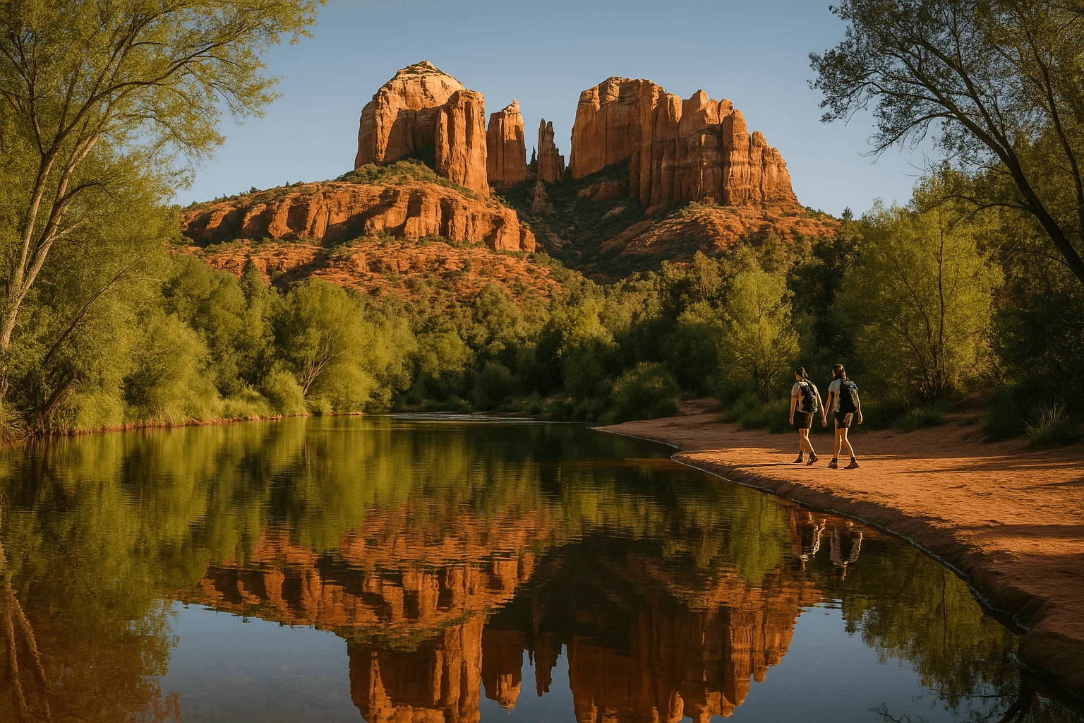
- An easy creekside picnic and Cathedral Rock view: Crescent Moon Ranch at Red Rock Crossing.
- Seasonal sandstone pools: Seven Sacred Pools on Soldier Pass. They are tinajas, not waterfalls, and their appearance changes with recent rain.
Water level, clarity and access can change quickly after storms, snowmelt, wildfire impacts or maintenance closures. Check the managing agency on the day of your outing rather than trusting an old photo.
West Fork: a creek hike to save for after reopening
Do not hike here while the closure applies. The guidance below describes the usual outing for future planning. Check the current access order before making the drive.
West Fork is the most satisfying nearby choice when you want the water to remain part of the hike instead of appearing at one viewpoint. The trail starts at the Call of the Canyon day-use area on State Route 89A, about 10.5 miles north of the 89A/179 junction. The familiar out-and-back follows a shaded canyon and crosses the creek repeatedly, so footwear that can handle wet rocks is more useful than pristine sneakers.
The commonly traveled trail runs about three miles into the canyon before the route becomes a very different undertaking. Beyond that point there is no normal maintained footpath: a full canyon trip involves route finding, deep water and swimming. A casual West Fork day should turn around on the standard trail and never drift into the technical through-route because a map makes the canyon look continuous.
The developed lot is limited and charges its own current day-use fee. A standard Red Rock Pass does not necessarily cover this concession-managed site; the Forest Service’s Grand Annual Pass and certain federal passes may be accepted under current rules. Read the fee board at the entrance and carry a payment method. Highway shoulder parking can add a hazardous roadside walk and may be restricted, so arrive with a backup plan.
Slide Rock: a swim stop, not a waterfall hike
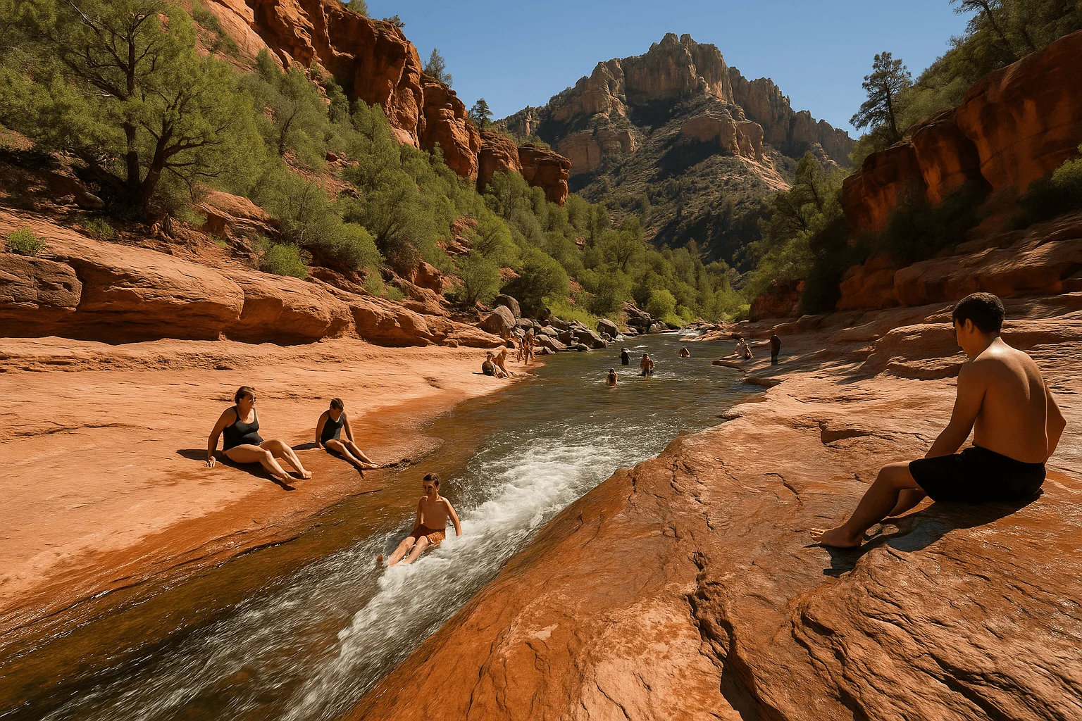
Slide Rock State Park is famous for the slickrock chute where Oak Creek runs over smooth sandstone. It is the clearest answer for travelers who mean “a place to play in moving water,” but it is not a backcountry waterfall trail. The park uses seasonal vehicle admission, can reach capacity and does not allow walk-in, bicycle or drop-off entry. Everyone needs to arrive in an admitted vehicle.
Before driving up the canyon, check the park’s alert banner and water-quality page. At our September 23, 2026 review, the swim area was open; the park said it posts an alert when weekly summer testing finds an exceedance. There is no lifeguard, and cold water, current and algae-polished sandstone make the setting more demanding than the playful photos suggest. Water shoes with grip are more useful here than flip-flops.
Pets cannot enter the creek or swim area, and the park currently prohibits pets throughout the park from May 1 through September 30. At this review, vehicle admission for up to four people was $20 through April 2027, with additional adults charged separately. The entry station and swim area close one hour before the park, so an afternoon arrival should be checked against the current seasonal hours.
Crescent Moon Ranch: the easiest creek-and-view combination
Crescent Moon Ranch is the practical pick when the group wants Oak Creek, shade, picnic space and the classic view toward Cathedral Rock without committing to a strenuous hike. Follow the signed paths from the day-use area toward Red Rock Crossing and choose a stable, legal place to sit near the water. The most photogenic crossing is not a promise of safe swimming; flow, algae, temperature and submerged footing still matter.
This is another developed recreation site with its own fee structure. Do not assume a Red Rock Pass purchased for a trailhead covers the gate. It can also be busy around late afternoon, when photographers arrive for reflected light on Cathedral Rock. Come earlier for a quieter creek visit and save sunset for a day when parking and the return walk are already settled.
Fossil Creek: the real waterfall day trip
Fossil Creek is the strongest answer when an actual waterfall matters enough to justify a much bigger day. The waterfall is reached from the Dixon Lewis area, formerly called the Waterfall trailhead, on a Forest Service trail of roughly 0.9 mile. The turquoise water is spring-fed, but this is remote canyon country rather than a managed resort swimming pool.
From April 1 through October 1, a permit is required to park in the Fossil Creek permit area. The reservation is tied to one named parking lot and one vehicle; it does not let you move between lots or drop passengers elsewhere. The current system releases some permits a month ahead and the remainder two days ahead. Outside the permit season, access is not automatically guaranteed—road, fire, flood and restoration closures still control the day.
Use the Highway 260 entrance near Camp Verde for the canyon parking lots. The Forest Service warns against approaching these lots from the Strawberry side. The final access includes about 14 miles of rough Forest Road 708, where high clearance is strongly recommended and travel is slow. Current permit instructions require visitors to reach the Highway 260/FR 708 junction by 2 p.m.; the entry gate closes later in the afternoon and day use ends in the evening. Recheck every time printed on your permit.
There is no potable water, no lifeguard and little or no cell service. Carry at least the Forest Service’s recommended gallon of water per person, more food than the outing seems to require, sun protection and a way to navigate offline. If the road, heat or permit timing makes the trip feel marginal, choose an Oak Creek day instead.
Seven Sacred Pools: worth seeing after rain, but not a waterfall
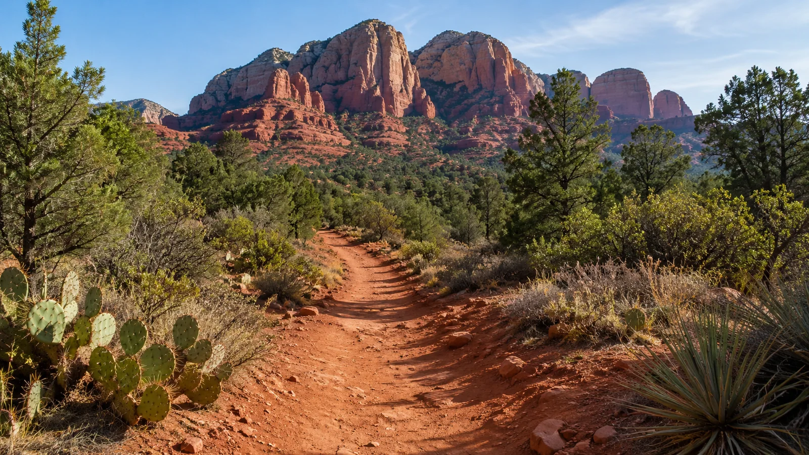
The Seven Sacred Pools are shallow sandstone basins along Soldier Pass. Recent rain can leave them full and reflective; dry weather can leave them low, still or muddy. They are a geological feature, not a sequence of reliable swimming holes and not a waterfall destination.
Access also needs planning. On regular Sedona Shuttle service days, the Soldier Pass trailhead lot is closed and Route 14 begins around 7 a.m. from Posse Grounds. That works for a morning hike but generally not for first light. Use the current schedule, park only in the signed park-and-ride and stay on the system trail around fragile soils.
Two popular “water” results to understand before you go
The Crack at Wet Beaver Creek is a swimming hole reached by a long, exposed hike, not a waterfall beside a parking lot. It can be dangerously hot on the return, and cliff jumping adds consequences that no online recommendation can remove. Treat it as a serious desert hike and check current Forest Service access.
Buddha Beach is an informal name that appears inconsistently on maps and social posts. It should not be confused with Midgley Bridge, Seven Sacred Pools or a dependable waterfall. If a route depends on an unofficial place name, confirm the legal trail, parking and exact destination before leaving town.
A guided creekside hike when route planning is the obstacle
A guide can make sense when your group wants a private pace, supplied hiking gear and someone else to adjust the route to current conditions. The Sedona Creekside of Cathedral Rock Hike With a Private Guide is a creekside experience near Cathedral Rock; it is not sold here as a waterfall tour or the steep Cathedral Rock summit scramble.
The listing reviewed for this guide describes an approximately four-hour private outing with pickup, snacks, water and gear. Read the current inclusions, mobility notes and cancellation terms for your date before booking.
View the private creekside hike on Viator →
Water safety in red-rock country
- Check upstream weather. A creek can rise from rain that falls miles away, and narrow canyons offer few exits.
- Do not read clear-looking water as safe water. Follow current health and park advisories; never drink untreated creek water.
- Expect slippery footing. Algae, polished sandstone and loose stepping stones can turn an easy crossing into a fall.
- Do not assume a jump is safe. Water depth and submerged debris change. A previous visitor’s video proves nothing about today’s landing.
- Turn around before a crossing becomes a negotiation. The return may have more flow than the outbound trip.
For a wider comparison of terrain and difficulty, use our best Sedona hikes guide. If Soldier Pass or another shuttle-served trail is part of the plan, read the Sedona trailhead shuttle guide the evening before.
Build the day around one good water experience
Save West Fork for confirmed reopening. Slide Rock is the managed swim-and-slide stop, Crescent Moon is the gentler creek-and-view day, and Fossil Creek is the genuine waterfall commitment. Choosing one lets you arrive early, respect the access rules and enjoy the water without turning the day into a race between parking lots.
After the creek, change into dry shoes and let Sedona slow down again. If you return through the Brewer Road and Tlaquepaque area after 10 a.m., Mi Amoré Sedona is inside the historic Hart Store at 100 Brewer Road, with curated gifts and home and garden finds. It is a pleasant indoor finish after a dusty or wet morning, and browsing is easy to fit before a late lunch.
GOOD TO KNOW