For a demanding Sedona day on an established trail, start with Wilson Mountain for distance and sustained climbing, or Bear Mountain for a shorter, steep ascent with very little shade. Cathedral Rock is a different challenge: a brief, hands-on climb to a saddle, where confidence coming down matters as much as fitness going up.
Capitol Butte and Steamboat Rock also belong in the conversation, but their summit routes are not interchangeable with those maintained hikes. They involve informal approaches, route finding and consequential climbing. Choosing the hardest outing is less useful than choosing the kind of challenge you can comfortably finish—including the descent.
Big elevation tests: Wilson Mountain and Bear Mountain
These are the two places to look first if your idea of a good Sedona hike involves earning a broad view over canyon country. Both offer scenery before their endpoints, so an earlier turnaround can still make a satisfying day.
Wilson Mountain Trail No. 10: the long mountain day
Wilson rises above the entrance to Oak Creek Canyon, north of Uptown. The south approach starts at the small parking area just north of Midgley Bridge on SR 89A. Follow the Wilson Mountain signs; nearby Wilson Canyon is a separate trail with a much shorter outing.
The Forest Service lists Trail No. 10 at 5.6 miles one way and about 2,400 feet of elevation gain. Allow roughly 11.2 miles if you intend to walk that full listed length and return by the same route. A downloaded track to a particular overlook may be shorter; compare its endpoint with the official trail map before treating two different mileage figures as the same hike.
There is partial shade, but enough open slope that Wilson remains a demanding warm-weather climb. It suits someone who enjoys a long uphill day and has the time, food and water to return without rushing. The reward is the scale of the landscape: the town and its individual rock formations become part of a much larger canyon setting.
For a different approach, North Wilson Trail No. 123 starts at Encinoso Picnic Area farther up SR 89A and joins Wilson Mountain partway up. The Forest Service describes it as cooler; that does not make it an easy hike or remove the remaining ascent. Map the entire intended trip from Encinoso rather than borrowing the south trail's mileage, and confirm access before leaving.
Use the official Wilson Mountain description and North Wilson information to choose your start. Neither trailhead is one of the five stops on the free trailhead shuttle.
Bear Mountain Trail No. 54: steep climbing in fewer miles
Bear Mountain begins in the Boynton Pass area northwest of town. Park in the shared Bear/Doe Mountain lot, then cross the road to Bear's trailhead. Doe Mountain is a separate hike on the other side; checking that first sign prevents a very different morning from the one you planned.
Plan on roughly five miles out and back and around 2,000 feet of climbing. The current Forest Service page lists 4.6 miles return, but its elevation figures vary between the narrative and summary. The practical point is consistent: this is a steep, strenuous outing, not a short stroll with one difficult finish. Allow much of the day rather than scheduling another major hike immediately afterward.
The scenery changes as you climb: rocky pitches give way to open plateaus, then more uphill. Several apparent tops are not the end of the route. Arizona Highways' account also describes those false summits, which explains why Bear can feel longer than the mileage suggests. Decide your turnaround from remaining time and water, rather than repeatedly promising yourself that the next rise must be the last.
Across bare rock, the Forest Service describes white painted diamond markers where the tread becomes indistinct. Keep track of the route as you ascend so the way back is familiar. Mostly unshaded slopes and tilted rock make heat and footing central to the decision, and the land manager specifically advises against attempting Bear when significant snow is present.
Read the official Bear Mountain route description before heading out. A lower viewpoint can be the right endpoint if conditions or energy change; the landscape does not wait until the top to become interesting.
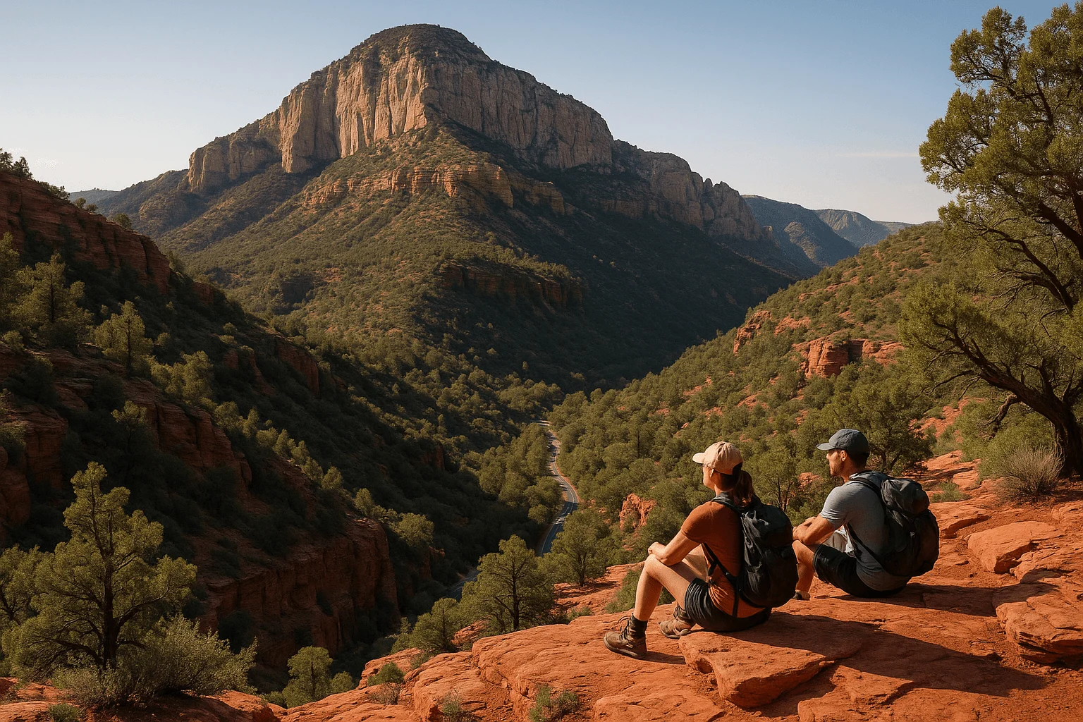
Capitol Butte and Steamboat Rock: summit routes need a different plan
A strong hiker can be comfortable on a long trail and uncomfortable on an exposed rock step. These two formations bring that distinction into focus. An attractive summit photograph, an app label saying “hard,” or a line of cairns does not establish a maintained route or the skills needed to descend it.
Capitol Butte, also called Thunder Mountain
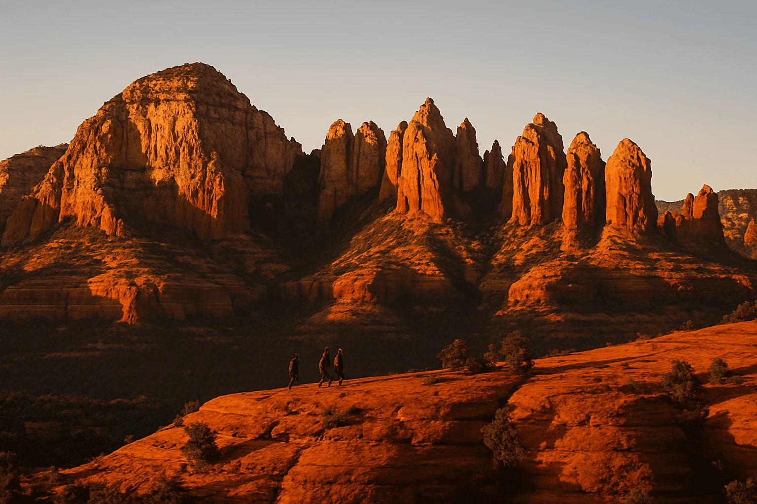
This large formation dominates the skyline north of West Sedona. Its familiar name can be misleading: seeing Thunder Mountain on a nearby trail or trailhead sign does not mean that trail provides an ordinary walking route to the summit.
Authored climbing accounts describe multiple summit approaches with difficult route finding and exposed climbing. Their technical grades and descriptions vary by line. It would be misleading to reduce all of that to a single three-mile hike, or to promise that the route needs no rope. Equipment alone cannot resolve a route you cannot identify or a move you cannot reverse.
The descent deserves particular attention. In a documented January 2018 rescue, Yavapai County Search and Rescue reported that a hiker reached Capitol Butte's summit, became disoriented and could not locate the way down. That is a historical example, not a current condition report, but it illustrates the difference between reaching a high point and completing a mountain trip.
For an experienced climber, the sensible next step is route-specific research and, where needed, an appropriately qualified local guide who actually offers that objective. For a visitor seeking a strenuous hike on an established trail, choose Wilson or Bear instead. You can enjoy Capitol Butte as part of the West Sedona scenery without making its summit the day's goal.
Steamboat Rock: a scenic deck is not the true summit
Steamboat Rock stands near the mouth of Oak Creek Canyon above the Midgley Bridge area. Firsthand scrambling accounts distinguish its broad lower “decks” from the final summit block. Some photographs and casual route descriptions blur that distinction; the highest point involves a different climbing objective from reaching a lower overlook.
The approaches described by climbers leave the Wilson Canyon/Jim Thompson trail system for informal paths and rock ledges. Reaching a lower deck still calls for identifying the correct approach and knowing how to descend it. Establish that route knowledge and the current conditions before deciding whether this objective fits your experience.
If the appeal is canyon scenery rather than climbing, stay on the official Wilson Canyon Trail No. 49. Its land-manager description offers an approximately three-mile return outing to a canyon turnaround with some rock scrambling near the upper end. That is a separate, less strenuous option—not a route to Steamboat's summit.
For either Midgley-area outing, use an authorized parking space and the intended trailhead. A full lot is a reason to change the plan, not to improvise an approach along the highway.
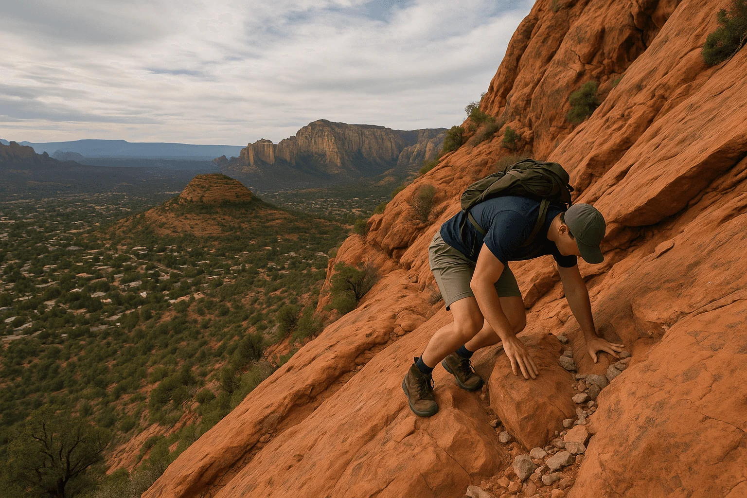
Cathedral Rock: a short climb to the saddle
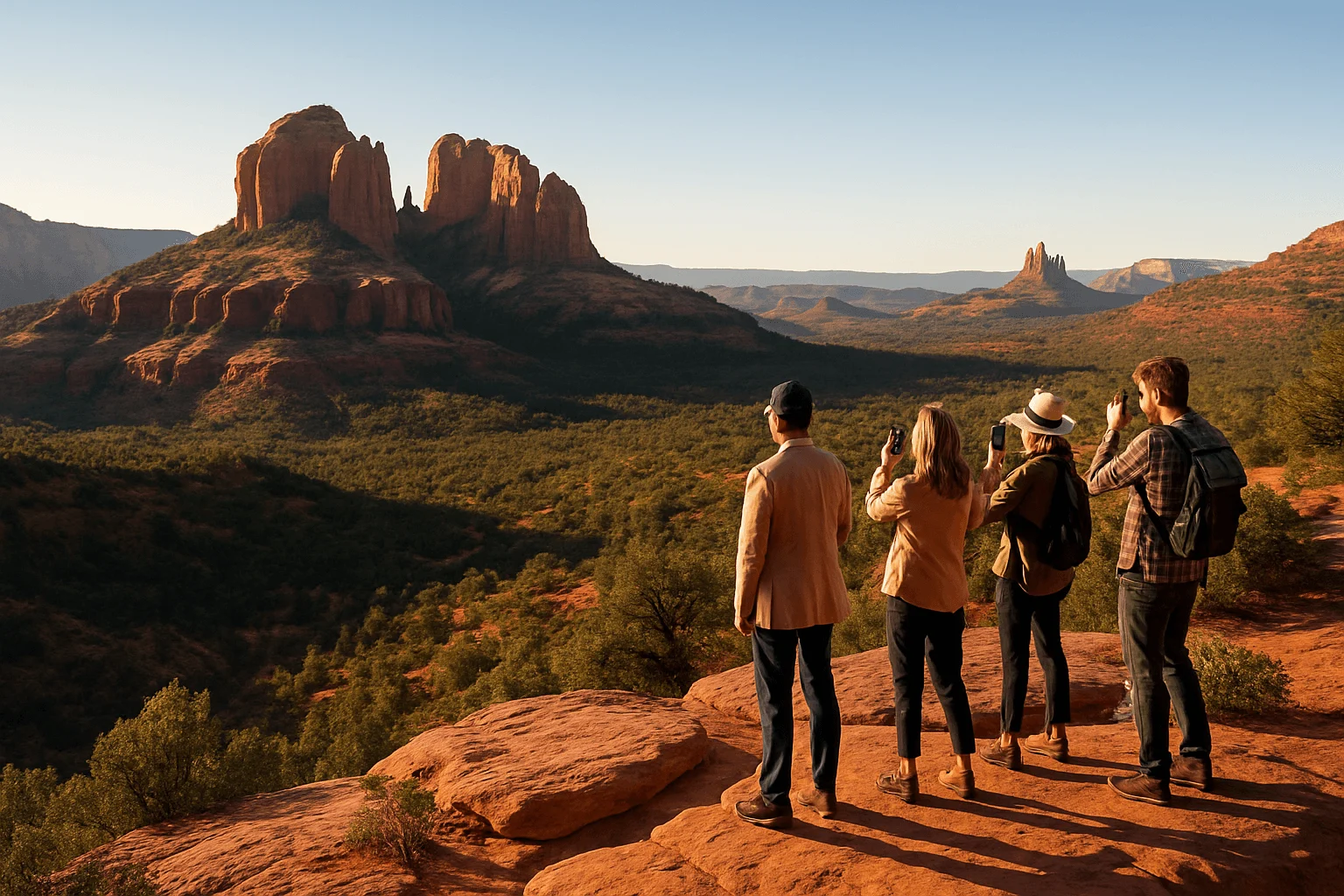
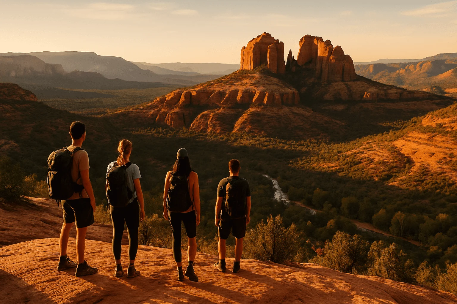
Cathedral Rock Trail No. 170 starts on Back O' Beyond Road off SR 179, south of Uptown. It is not in West Sedona. The established destination is the wide saddle between the spires, rather than the tops of the spires themselves.
Expect a steep, unshaded ascent over slickrock, including a cleft where hands help with upward movement. The Forest Service's current page gives conflicting return distances—1.1 miles in its summary and 1.5 in the description—so think of it as an approximately one- to one-and-a-half-mile return climb with about 670 feet of gain, not a precisely measured flat walk. Other starting points add approach distance.
Cathedral suits someone who wants a shorter outing and is comfortable moving on rock. It is less suitable if your main concern is exposure, grip or getting back down a steep step. Dry conditions matter, and a busy trail does not make the terrain easier. Stop before a move you cannot confidently reverse; reaching the main saddle is already a complete outing.
Use the shuttle when Cathedral's parking is closed
The trailhead parking lots close to the public whenever the Cathedral Rock shuttle operates. Free Route 15 leaves from the North SR 179 Park & Ride at 1294 SR 179. Regular trailhead service runs Thursday through Sunday, with extra dates during some holidays and peak periods.
Check the current Route 15 timetable and parking rules for your date. Work backward from the last pickup at Cathedral Rock, rather than the system's general closing time. Outside service hours, follow the posted parking rules and fee requirements. Do not assume arriving before the buses gives permission to leave your vehicle there through shuttle operation.
Little Horse is not an overflow parking lot for Cathedral Rock. If you intend a longer trail approach, map and prepare for that full route instead of treating it as a quick parking workaround.
Plan the return before choosing the summit
Weather can change the right choice
Cooler spring and autumn days often give more flexibility for a long climb, but the forecast matters more than the month. Summer heat can make a Wilson or Bear outing impractical even with an early start. Winter snow and ice change the footing, particularly on tilted rock. Postpone exposed climbing when rain, ice or thunderstorms threaten the route.
The city's hiking guidance, prepared with the Forest Service and Friends of the Forest, recommends avoiding midday summer heat and planning at least a liter of water per person per hour in hot conditions. Treat that as planning guidance, not a guarantee that a particular hike is suitable. Account for the complete return trip, carry food and appropriate supplies, and turn back before your water, daylight or energy margin disappears.
Download the route before losing reception, carry backup navigation and a headlamp, and leave your trailhead, intended endpoint and expected return with someone. A charged phone is useful; reception is not assured. If an emergency develops, call 911 when able and give your location and route information.
Parking passes and closures are separate questions
Midgley Bridge, Bear/Doe Mountain, Encinoso and Cathedral Rock are listed Forest Service fee sites. A Red Rock Pass costs $5 daily, $15 weekly or $20 annually; a qualifying America the Beautiful pass can substitute at these locations. That covers the parking requirement, not permission to enter a closed area. Free trailhead-shuttle riders do not pay a trailhead parking fee.
Consult the official pass information and current Coconino alerts before departure. Fire-related orders affect named trails and areas; a notice for one canyon should not be read as a closure of every Sedona hike, or as evidence that an adjoining route is open.
Leave room for a slower afternoon
After a substantial climb, an unhurried meal and a little browsing can be a better finish than squeezing in another trail. Mi Amoré Sedona, inside the historic Hart Store at 100 Brewer Road, offers curated gifts and home and garden finds, daily from 10am to 4:30pm. It is a pleasant stop back in town if your return time fits, with time to choose something to take home.
For the rest of your visit, our Sedona hiking guide helps you mix a demanding day with gentler scenery, while where to stay near the trails explains the different bases. The best mountain day is one you finish with enough energy left to enjoy being here.
GOOD TO KNOW