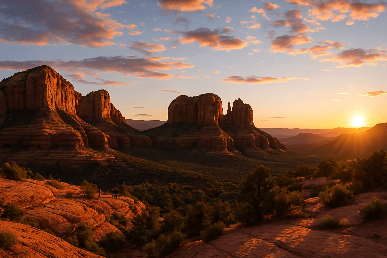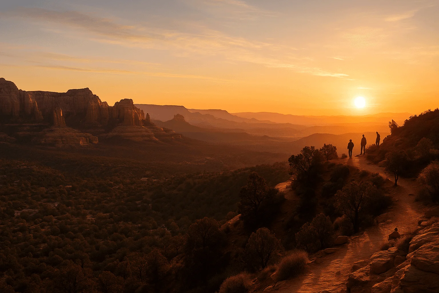
Sedona’s first light is worth an early alarm: a pale sky, cool air and red-rock edges beginning to glow while much of town is still asleep. The best morning is the one you can enjoy without rushing over unfamiliar terrain in the dark.
Below are six routes, with the exact kind of morning each one suits. Sunrise time is not the same as the moment sunlight reaches a particular rock face: hills, the season and clouds affect that. You are choosing an enjoyable first-light outing, not a guaranteed photograph.
Which sunrise hike fits your morning?
For a short first-light walk, choose Yavapai Vista. Its half-mile out-and-back keeps the approach manageable. Bell Rock Pathway also works when you want to choose your own turnaround rather than finish a summit climb.
For a climb with a broad view, compare Doe Mountain and the Airport Mesa saddle. Both involve uneven footing. The upper Airport Scenic Overlook is the alternative when you would rather skip the climb; it is a different destination from the saddle.
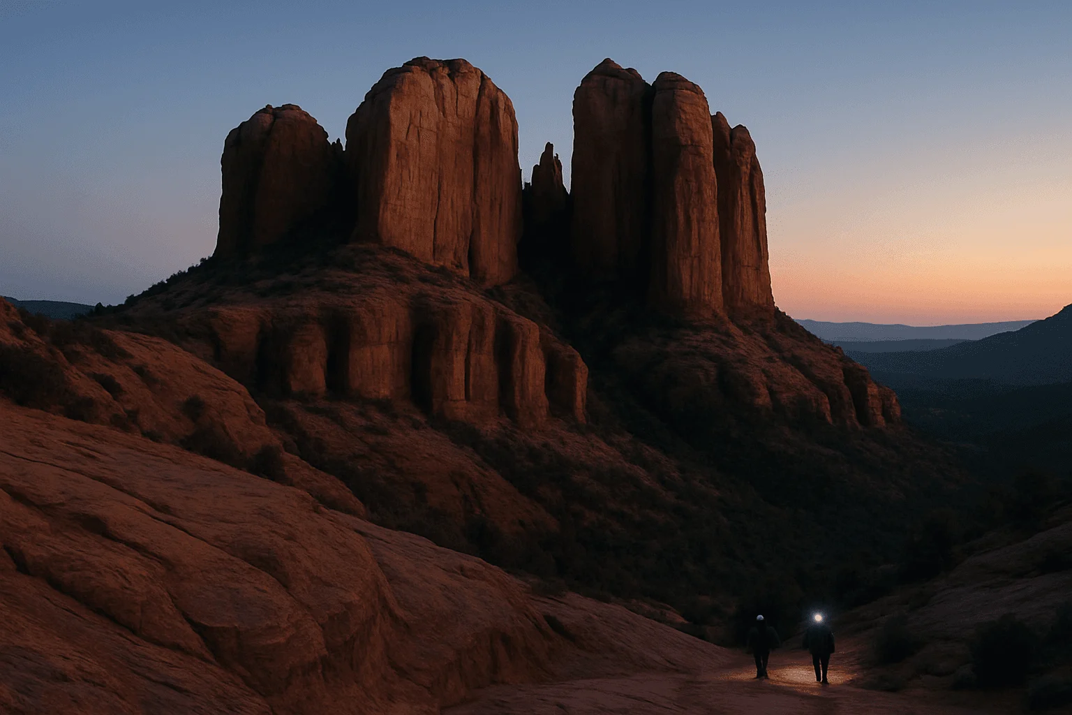
For Cathedral Rock or Devil’s Bridge, make the hike the reason to go. Cathedral adds hands-on scrambling. Devil’s Bridge adds a longer approach and no guarantee that the arch catches the light at sunrise. Neither needs to become a dark first hike simply to beat a crowd.
Before saving a map pin, choose the exact parking lot and your return time. The official links in each section help you check access; a scenic pin alone cannot tell you whether the gate will be open.
Plan backward from the light, then check legal access
Look up sunrise and civil twilight for your actual date in Sedona. Civil twilight is the brightening period before the sun rises; a phone’s sunrise time alone does not tell you when you will first have useful light. Arizona’s clock also stays on Mountain Standard Time through the year, so confirm your device is displaying local time.
Choose the trailhead, parking location and turnaround the evening before. Add time for the drive, finding a legal space, putting on layers and walking at a careful pace. As editorial planning estimates, allow roughly 15–30 minutes for a brief viewpoint approach, and 45–75 minutes or longer for a climb such as Doe Mountain or Cathedral Rock. These are not measured arrival guarantees. Your pace, starting point and conditions matter more than a timetable.
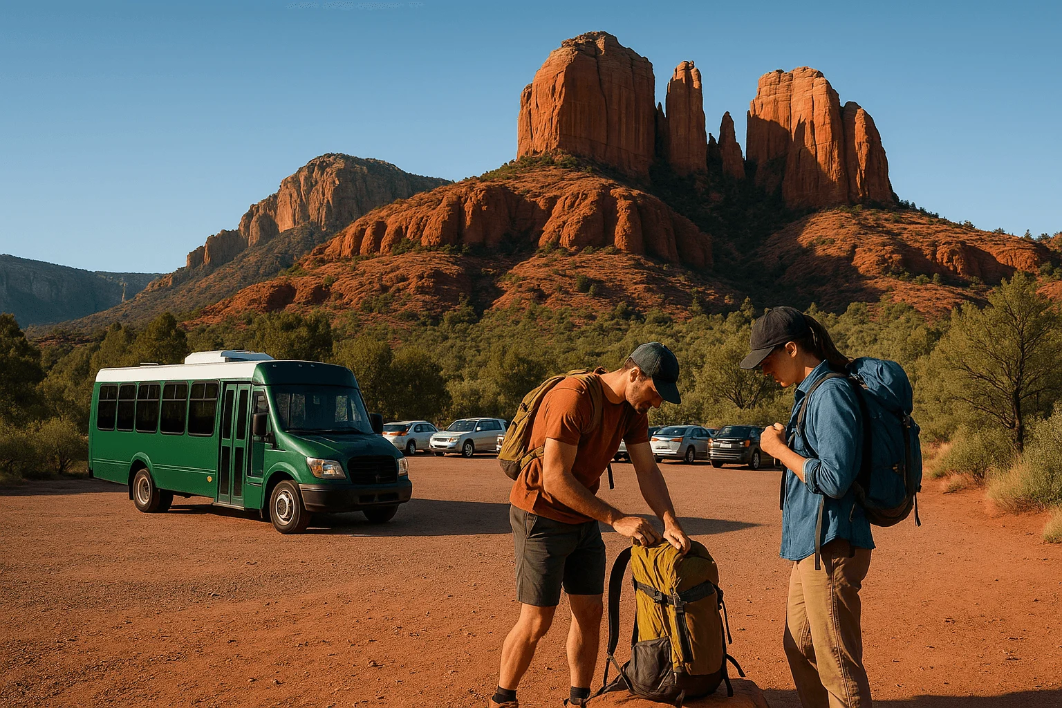
The trailhead shuttles normally begin departures around 7 a.m., after sunrise for much of the year. Check the exact service date and route rather than assuming a dawn bus exists. Cathedral Rock’s public parking closes during shuttle operation. The city’s FAQ says it opens outside shuttle hours; that does not grant permission to leave a vehicle through a posted closure or ignore a temporary restriction.
Check official shuttle routes and the service calendar →
1. Yavapai Vista: the simplest first-light walk
Open the Forest Service’s Yavapai Vista location in Maps →
Yavapai Vista, along SR 179, offers an open red-rock outlook on a 0.5-mile out-and-back trail. It is a good choice when you want to arrive calmly, sit with the changing color and still have energy for the rest of the day.
Expect uneven desert ground rather than a paved promenade. Walk the signed route with a headlamp until you can clearly see the surface. The view is about light on the surrounding formations; do not wander farther onto slickrock trying to find a completely open eastern horizon.
Parking requires a Red Rock Pass or America the Beautiful Pass. There is a restroom but no drinking water. Have the pass and drinks ready before leaving your accommodation so the morning stays simple. For a family with capable walkers or someone carrying camera gear, this is a more manageable starting point than a summit scramble.
Official Yavapai Vista distance and facilities →
2. Bell Rock Pathway: choose your own gentle turnaround
Bell Rock is rewarding before you climb anything. From a developed lot such as Courthouse Vista or Bell Rock Vista, a short walk along the signed pathway brings the formations into the morning story. Save your intended lot, because the north and south approaches are different.
For a beginner’s sunrise, make a modest out-and-back plan—for example, a turnaround after about 15 minutes of comfortable walking—and retrace it as the sky brightens. That is a suggested outing, not the length of a separately named trail. Bell Rock Pathway continues for miles; the Forest Service guide lists 3.7 miles for the named pathway. Courthouse Butte Loop is also a separate, longer commitment.
Stay on the pathway if you want an easy morning. Climbing Bell Rock adds sloping sandstone and informal route decisions, especially difficult to judge in darkness. Open ground offers little shelter from wind, and a cold start can quickly become a warm return once the sun is up.
These developed lots require an accepted parking pass. This choice fits particularly well when you are staying in the Village of Oak Creek: see the light, have breakfast nearby, and avoid turning the morning into a cross-town drive.
3. Doe Mountain: a short climb with a real mesa-top reward
Reach the Doe Mountain trailhead on Boynton Pass Road west of Sedona. The Forest Service recreation guide lists the climb as about 0.7 mile one way with 400 feet of elevation change. A direct climb and return is roughly 1.4 miles before any extra wandering on top.
Switchbacks rise to a mesa with a broad perspective on the western red-rock country. It is the best choice here for someone who wants the feeling of reaching a high viewpoint without Cathedral Rock’s hands-on slickrock section. It still asks for confident footing, and the short mileage should not be mistaken for a flat walk.
If this would be your first headlamp hike, start once the trail is visible in twilight rather than forcing a fully dark ascent. At the top, identify where you emerged onto the rim and keep your return route clear. Do not head toward an exposed edge for a photograph or extend the outing simply because another group is walking farther.
Park in the signed developed lot and display the required pass. Bring a warm layer for the top and enough water for a longer morning if you intend to explore after first light. Check current conditions before departure; a good view does not justify climbing through lightning, ice or an unfamiliar route.
4. Airport Mesa: pick the saddle or the overlook before leaving
“Airport Mesa” can mean the lower saddle, the upper Scenic Overlook or a complete loop. They are different outings. For a sunrise hike, the lower saddle near the small trailhead lot is a short approach to an elevated setting, but rocky footing and a steep final rise still require care.
If you want very little walking, use the upper Airport Scenic Overlook instead, subject to its posted access rules. Its view looks across West Sedona’s formations; it is a place to watch the landscape change color, not a promise of the sun’s disk rising directly in front of you.
The airport lists $3 all-day overlook parking and prohibits overnight parking. Do not sleep in the lot to secure a sunrise place. If the lower lot is full, use a legal alternative rather than waiting in the road or walking up Airport Road, where the airport prohibits pedestrian travel. The designated Sedona View Trail connects the upper and lower areas, but adds walking and terrain; it is not a roadside shortcut.
Save Airport Loop for a separately planned hike. The Forest Service guide lists it at roughly 3.3 miles, far beyond a quick saddle visit. Its narrow, rocky stretches deserve daylight if you have not walked them before.
Official Airport parking, trail connections and road-walking restrictions →
5. Cathedral Rock: reserve the dark ascent for experienced hikers
Cathedral Rock Trail starts from Back O’ Beyond Road off SR 179. The named trail is about 0.7 mile one way with 600 feet of elevation change, or roughly 1.4 miles out and back. Those modest numbers hide the deciding detail: steep sandstone sections where hikers often use their hands.
This is a dramatic morning setting for people already comfortable with scrambling, exposure and low-light route finding. It is a poor first sunrise hike for a group discovering its limits together. The descent deserves as much attention as the ascent, especially if rock is damp, icy or covered with loose grit.
Follow the marked route and stop at the established saddle rather than interpreting side ledges as an invitation to climb higher. Give other hikers space, keep hands available and turn around if the route is unclear. You can enjoy the changing light from a lower point without completing the scramble.
Access needs a complete plan. Route 15 starts from North SR 179 Park & Ride around 7 a.m.; the Back O’ Beyond lots close during its operating hours. Verify posted parking restrictions for both your arrival and your expected return. Do not assume a before-service arrival lets you leave a car all morning.
Official Cathedral Rock shuttle schedule →
6. Devil’s Bridge: choose it for the arch, not a guaranteed sunrise shot
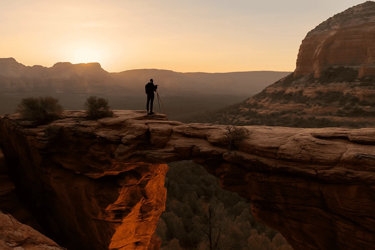
Devil’s Bridge is worth considering when the arch itself is your main interest and you are ready for a longer approach. The Forest Service guide’s 0.8-mile Devil’s Bridge trail is the named segment, not the complete hike from most passenger-car parking.
From Mescal, map the connection along Chuckwagon to Devil’s Bridge and the return. From Dry Creek Vista, choose and save the complete permitted approach before starting. The Forest Service lists 4 miles round trip from Mescal via the Mescal–Chuckwagon connection, or 5.8 miles from Dry Creek Vista via Chuckwagon. Those are different mornings, and both are longer than the 1.6-mile inner trail. Use the official approach descriptions to choose your start. Rough-road access to the closer start is not a normal rental-car option.
The final approach climbs rock steps, and the arch area includes serious drop-offs. Arriving before dawn adds navigation difficulty without guaranteeing that the arch will be lit when the sun rises. A twilight start followed by a morning visit can be the better experience. Enjoy the arch from a secure place; walking onto it is optional, and nobody needs to step backward toward an edge for a photograph.
Route 11 serves Dry Creek Vista and Mescal after its first morning departure. That makes it useful for a later morning hike, not automatically for a pre-sunrise arrival. Allow enough time for the whole hike and the return bus if you use it.
Official shuttle hiking maps and approach planning →
Why Soldier Pass is a morning hike, not a dependable sunrise choice
Soldier Pass is often folded into sunrise lists because Devil’s Kitchen and Seven Sacred Pools are photogenic. The Forest Service trailhead and parking area, however, are closed to individual access from 6 p.m. to 8 a.m.. Public parking also closes while the shuttle operates. Arriving before sunrise at that gate is not a usable plan.
Use the scheduled Route 14 service for an authorized morning arrival on service days, or observe the gate hours when private parking is available. Its first published trip leaves Posse Grounds at 7 a.m. Alternative trail connections are longer outings that require their own legal start and route plan; they should not be treated as a casual way around a closure. For the straightforward first-light experience promised here, choose one of the six options above.
Official Soldier Pass access restrictions →
Pack for the dark start and the warmer return
Carry a headlamp for each person, spare power, an offline map, water, food and a warm layer. A phone flashlight occupies a hand and competes with your navigation battery. Tell someone your route and return plan, and check the Forest Service alerts and weather before leaving.
Choose footwear with reliable grip and take smaller steps on dark rock. Keep dogs leashed; scrambling routes may be a poor choice for them even where pets are permitted. On a shuttle day, its pet policy also applies. Stay on the signed trail and leave cairns, plants and rocks as you find them.
For photographs, choose a secure place first and a composition second. Watch the formations as well as the eastern sky: reflected color may be more interesting than the sun itself. Keep your light low around other visitors, avoid blocking the trail with a tripod, and take time to enjoy the view after the camera goes away.
Let the rest of the morning unfold slowly
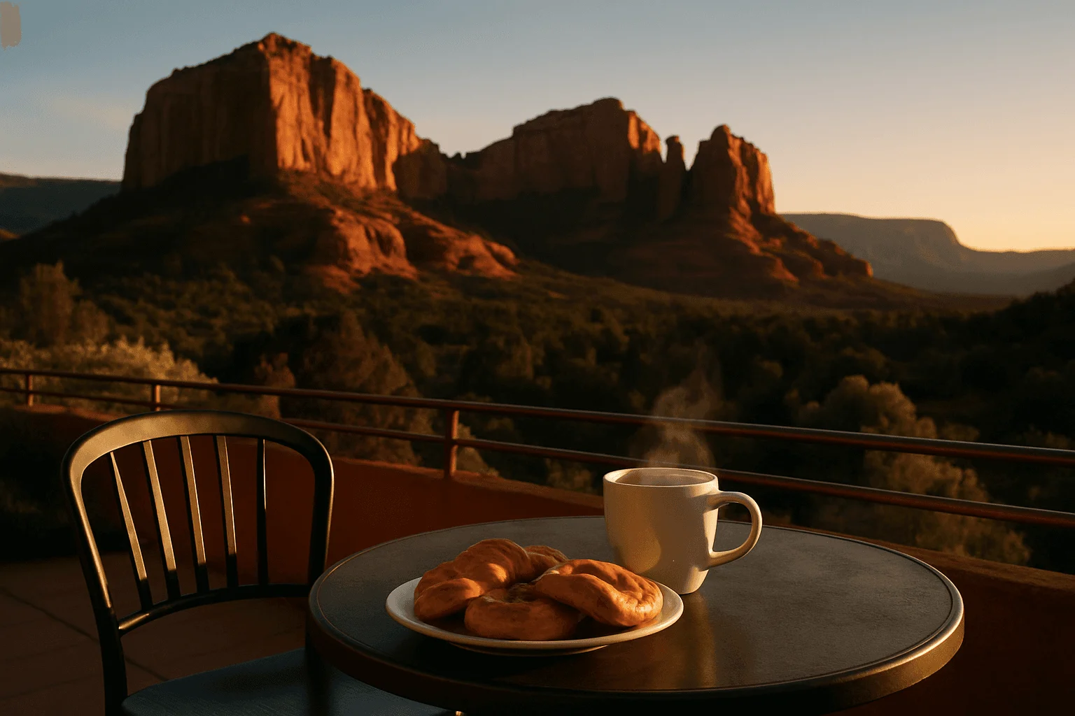
Match breakfast to the side of town where your hike ends. Bell Rock and Yavapai Vista pair naturally with the south corridor; Doe Mountain pairs with West Sedona. An early finish leaves time to eat, change layers and return to town without chasing a second trail.
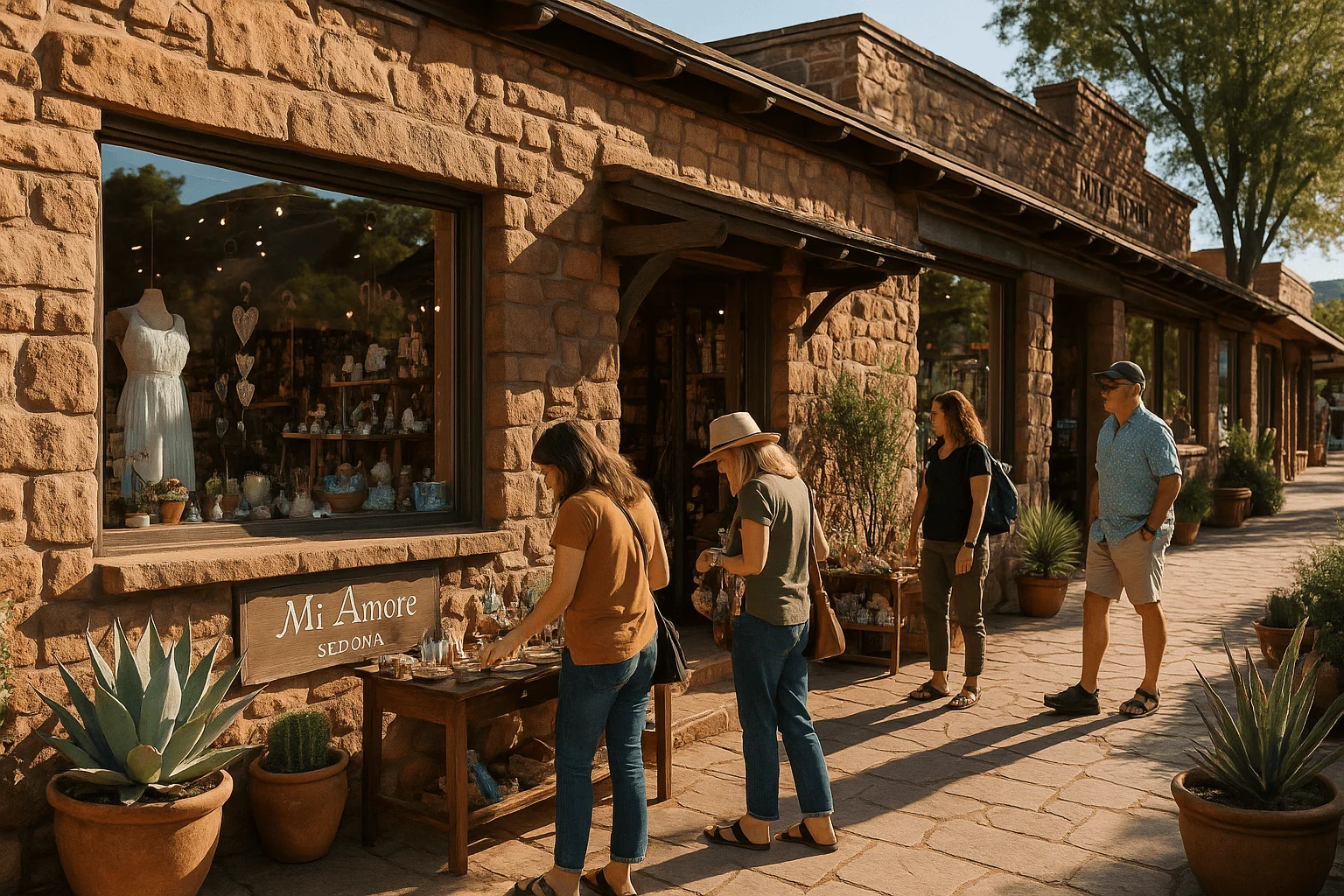
If a later browse fits your day, Mi Amoré Sedona opens at 10 a.m. in the historic Hart Store at 100 Brewer Road. It is a separate stop from Main Street’s Uptown shops, so plan the destination explicitly. A thoughtful gift or keepsake from our little shop can be a lovely finish to a morning spent outdoors. We are open daily until 4:30 p.m.
For another hiking day, our main Sedona hiking guide offers a broader range of routes. If the group decides a dark trail is not for them, choose a drive-to viewpoint instead. The point of an early start is a good morning, not a difficult hike before you are ready.
GOOD TO KNOW