Sedona is easier to enjoy when you plan by area rather than by a list of famous stops. A morning around Bell Rock, an afternoon in Uptown and a sunset in West Sedona can make a lovely day. Repeatedly driving between all three is where a relaxed itinerary starts to feel like a commute.
To avoid the worst of Sedona traffic, choose one part of town for each block of your day, settle your parking plan before leaving, and use the correct shuttle for your destination. Start with the live conditions below if you are already on the road. An early start helps with ordinary visitor traffic; it cannot solve a collision, road closure or a full trailhead.
Check Sedona traffic now before choosing a route
Open ADOT’s AZ511 traffic map and check SR 179, SR 89A and your approach on I-17. Turn on traffic speeds, incidents, closures and roadwork. A red stretch on a map tells you something different from a closed road: one calls for more time, while the other may require a different day or destination.
For work inside town, check the City of Sedona’s traffic and roads information. For an unpaved approach or a hiking destination, use Coconino National Forest current conditions and its closure alerts. A navigation app’s arrival estimate does not establish that a forest road is open or suitable for your car.
Check again before a timed tour or dinner, and have a passenger handle the phone once you are driving. Do not build a tight connection around a drive time measured on an empty road.
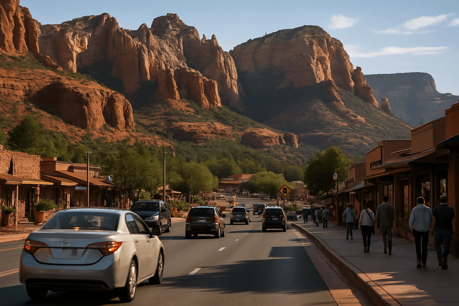
Know the three corridors before planning your day
SR 179: Village of Oak Creek, Bell Rock and the approach to town
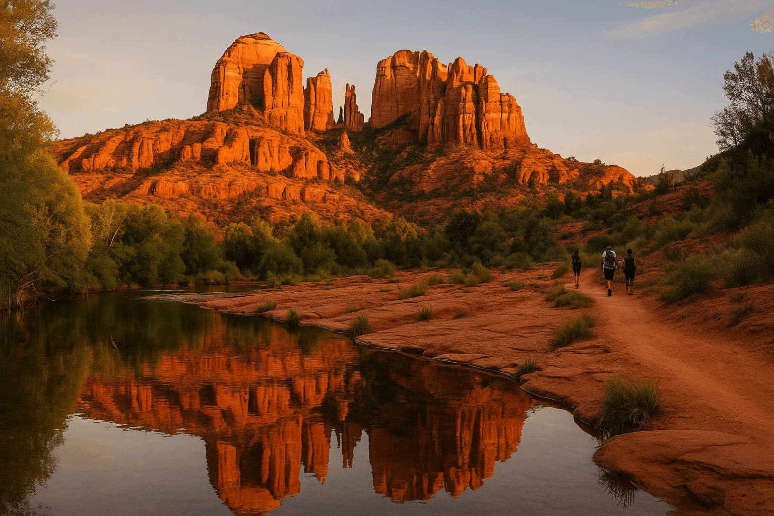
SR 179 connects I-17 with the Village of Oak Creek and central Sedona. Bell Rock and Courthouse Butte sit along this scenic corridor; the Chapel of the Holy Cross is reached by a side road farther north. The highway eventually meets SR 89A at the central junction commonly called the Y.
If you arrive from Phoenix, enjoy your south-corridor stops together instead of driving through town first and immediately doubling back. A Bell Rock morning followed by lunch in the Village is a coherent outing. Combining it with a West Sedona trailhead, an Uptown pickup and another south-corridor stop leaves much more of the day dependent on traffic.
SR 89A north: Uptown and Oak Creek Canyon
Uptown is the shopping and tour-departure district north of the Y. Continue north on SR 89A and you enter Oak Creek Canyon, with access to places such as Slide Rock and the road up toward Flagstaff. Shopping traffic and canyon-bound visitors share this corridor.
Choose whether the canyon is your main outing or simply the direction you are traveling. Slide Rock plus Oak Creek Vista makes more geographical sense than treating both as quick add-ons between appointments elsewhere. Canyon parking is limited to legal designated places; an occupied lot is a reason to continue to your backup, not to stop in a travel lane.
SR 89A west: Airport Road, West Sedona and the Dry Creek area
West Sedona is the practical base for many groceries, restaurants and trail approaches. Airport Road turns off this side of SR 89A; Dry Creek Road leads toward the western trail network. If your hotel is here, pairing a western hike with a West Sedona meal can save a cross-town trip.
Forest roads are not a secret traffic bypass. In particular, Schnebly Hill Road is a rough backcountry outing, not a normal-car shortcut to I-17. Stay with paved, legal routes suitable for your vehicle and the conditions.
When to go: use a flexible rhythm, not a magic hour
Spring and fall are popular outdoor-travel seasons, and weekends and holidays deserve more breathing room. Summer concentrates some demand around creek access and water attractions. A weekday can feel easier, but good weather, events and construction can change the pattern.
As a planning choice, put your main hike or scenic drive early in the day, leave a generous middle-of-the-day block for lunch and shopping in one area, and return to the road for one evening destination. This is a way to reduce unnecessary driving, not a promise that traffic disappears before a particular time.
For sunrise, the first shuttle may be too late and a gate may still be closed. For sunset at Airport Scenic Overlook, the airport itself advises arriving about an hour before sunset because traffic can build on Airport Road. Match your arrival to the specific destination rather than applying “get there before nine” to everything.
Park once in Uptown, then enjoy the streets on foot
Use the city’s Uptown parking page and downloadable map before entering the shopping district. Follow the public parking signs and read the sign at the space you actually choose. Free all-day lots, time-limited lots and paid curbside spaces are different arrangements; a blue parking sign does not mean every nearby space has the same rules.
The city lists Main Street meters as operating from 9 a.m. to 6 p.m. daily, with payment based on your license plate. Its posted rate structure becomes more expensive for longer stays. If you expect a long lunch and several hours of browsing, look for an appropriate all-day public space instead of relying on a short-stay spot. Temporary work can change access, so use current signs rather than an old screenshot of a map.
Mi Amoré Sedona is in the historic Hart Store at 100 Brewer Road, a separate stop from Main Street’s Uptown storefronts. If a browse for thoughtful gifts fits your afternoon, give it its own place in the route rather than assuming it is beside an Uptown parking lot. You can take a look at the shop before deciding how to spend that slower part of the day.
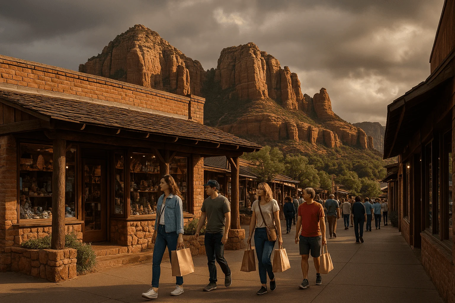
Three transit services, three different jobs
The free trailhead shuttles are for hiking access
Sedona Shuttle’s trailhead routes normally run Thursday through Sunday, with extra service during selected holidays and spring-break periods. They are free and do not require reservations. Check the calendar for your actual date.
- Cathedral Rock and Little Horse: Route 15 from North SR 179 Park & Ride, 1294 SR 179.
- Soldier Pass: Route 14 from Posse Grounds Park & Ride, 20 Carruth Drive.
- Dry Creek Vista and Mescal: Route 11 from West SR 89A Park & Ride, 905 Upper Red Rock Loop Road.
These buses do not form a general shopping loop. Save the return schedule before hiking and aim for an earlier return than the last trip. The published route pages have some inconsistent intermediate return-time entries; if a connection matters, use current service information or call dispatch at 928-203-5152.
Shuttle Connect is for trips within its service area
Sedona Shuttle Connect is on-demand public transit, priced at $2 per rider for the standard fare. Request a ride in the TransLoc app or through dispatch, and verify both your origin and destination are inside its mapped service area. Uptown, Hillside and the Los Abrigados area use designated pickup locations; select the signed pickup point rather than simply entering a nearby storefront.
This is the service to investigate for a hotel-to-town trip or a connection to a park-and-ride. Allow time for pickup and the ride itself. The vehicle uses the same roads as everyone else, so leaving your car parked reduces parking work but does not guarantee a faster journey.
Verde Shuttle follows a fixed town-to-town route
Verde Shuttle connects Cottonwood and Sedona, with stops along the main corridors. It is a separate scheduled service. Look up the stop, direction, fare and last return that match your trip; do not substitute a trailhead-bus timetable.
The trailhead rules that save a wasted drive
Cathedral Rock: the Back O’ Beyond parking lots close to public parking while the shuttle operates. Use Route 15 during those hours. Little Horse is not designated as overflow parking for Cathedral Rock.
Soldier Pass: the Forest Service trailhead and parking area are closed between 6 p.m. and 8 a.m., and public parking is also closed during shuttle operation. The scheduled shuttle has authorized access; an individual pre-dawn drive does not. This is not a trailhead where arriving earlier always helps.
Devil’s Bridge: a bus to Dry Creek Vista or Mescal gets you to an approach, not to the arch. Save the complete hiking route, including the return, before boarding. Do not drive a passenger car up a rough access road simply because the named Devil’s Bridge trail appears short on a map.
For other lots, read the specific fee sign. A Red Rock Pass is a parking arrangement at designated sites, not a universal entrance ticket for every park, overlook or concession-managed picnic area. Our Sedona hiking guide can help you choose a route that fits the rest of your day.
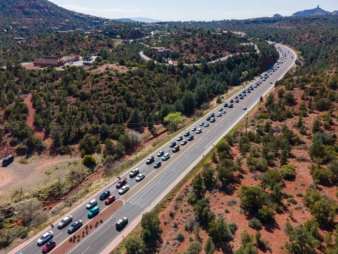
A calmer day, whether you are hiking or sightseeing
For a hiking day: pick one trail network, get to the correct lot or park-and-ride, and leave the afternoon open. A hike that runs longer should mean a later lunch, not a frantic drive across town to a second activity.
For a scenic day without a long hike: group Bell Rock-area views and the Chapel together, then choose either Uptown or a West Sedona overlook. Our drive-to viewpoints guide separates roadside scenery from short walks and rough-road excursions.
For a tour day: check whether the ticket includes hotel pickup or requires you to reach an Uptown meeting point. A guide can take over the driving during the experience; you still need to arrive for check-in. Choose a tour for the scenery and access it provides, not as a promise to skip traffic. Compare routes in our Sedona Jeep tour guide.
When you return to town, a little unhurried browsing can be part of the pleasure. Mi Amoré Sedona welcomes visitors at the Hart Store every day from 10 a.m. to 4:30 p.m. Keep that stop within the open hours and let the day finish at a human pace.
GOOD TO KNOW