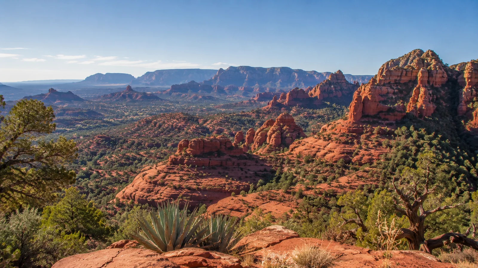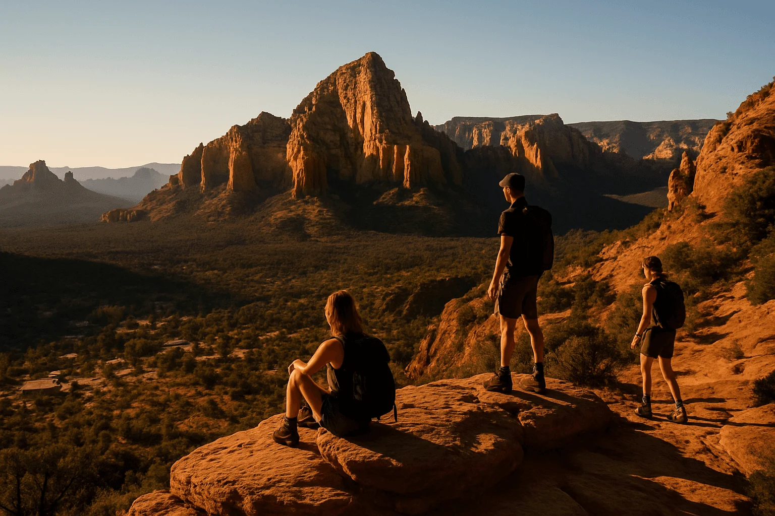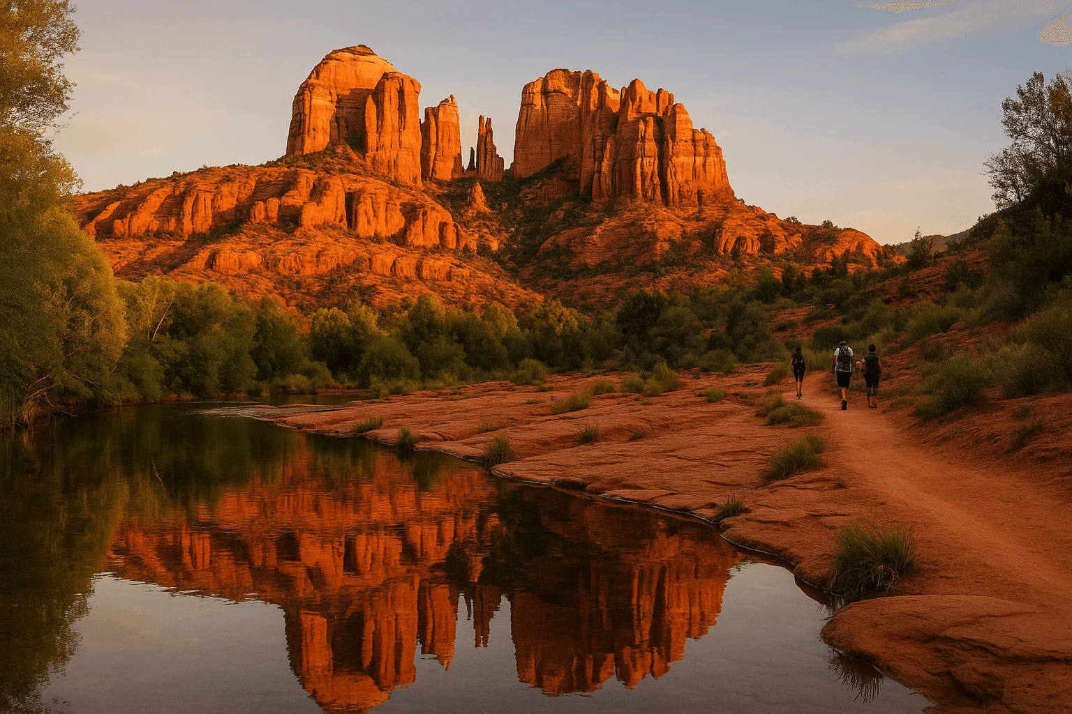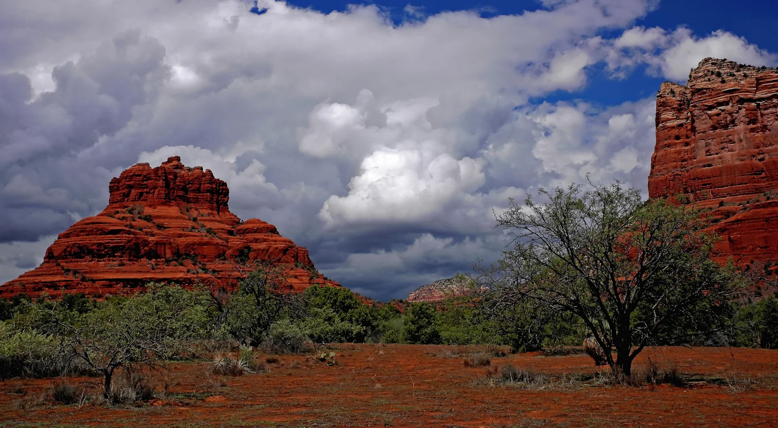
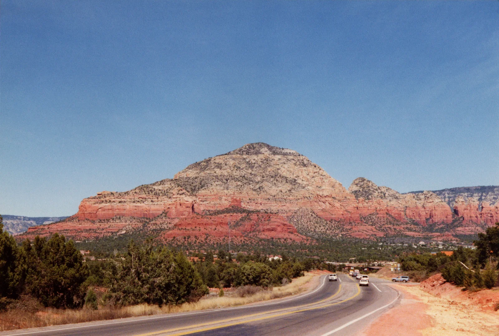
Sedona's rocks are red because of iron oxide, especially a mineral called hematite. That is the short answer. The more interesting part starts when you look above the red: at a pale cliff, a crack between towers, or the flat top of a mesa that once belonged to a creek valley.
The landscape holds several different stories at once. Sand accumulated long before the first dinosaurs. Ancient environments changed. Much later, erosion exposed the layers and cut the shapes we recognize today. Knowing which part of that story you are looking at can turn a scenic stop into something more memorable than another photograph.
You do not need to identify every formation or climb a summit to enjoy it. Start with these five clues, then choose a viewpoint or a guided park outing where you can take your time looking. There is also a November geology hike worth putting on the calendar if you would like a guide to connect the pieces.
1. The red comes from a mineral, not the sunset
The red-orange color is part of the rock. Iron-bearing minerals can react with oxygen and water, producing iron oxides; hematite is an important red pigment in Sedona's sandstone. The familiar comparison is rust. It is useful as a starting point, provided you imagine mineral coatings among grains of sediment rather than a mountain made of solid iron.
The U.S. Geological Survey's explanation of red rocks connects those rusty colors with iron oxides. The National Park Service's educational material for the Verde Valley identifies hematite in Red Rock Country specifically. You are seeing chemistry on the scale of a landscape.
This gives you a better first question at a viewpoint than simply asking which rock has the most famous name. Look for differences within the scene: brick red beside orange, a shaded face beside a sunlit one, a pale band above both. The color is a clue, but it is not enough on its own to name a rock layer or tell its age.
A photograph can help you slow down. Make one wide frame for the whole formation, then another for its bands and edges. Keep the colors close to what you see; pushing the red slider to its limit removes some of the distinctions that make the real landscape interesting. Leave the rock itself undisturbed.
2. The sandstone began in a world before dinosaurs
Much of Sedona's celebrated red-rock scenery belongs to the Schnebly Hill Formation. The USGS places it in the Early Permian, hundreds of millions of years ago. That is older than dinosaurs, which appeared later in the Triassic. The ancient sediment and the present-day shape of Bell Rock are different ages: the material came first, the exposed landmark much later.
Sandstone starts with sand. Burial, compaction and mineral cement can bind loose grains into rock. But the word sandstone does not tell you that all the sand arrived in the same way. Wind, rivers and coastal water can each move sediment, leaving different structures behind.
Geologist Wayne Ranney's explanation for the Red Rock State Park benefactors describes a changing coastal setting for the Schnebly Hill Formation, including dunes and episodes when shallow seawater advanced. A thin limestone member records one of those marine intervals. This is more useful than imagining the whole Sedona landscape sitting on a single ancient seabed.
The USGS formation record also shows that Schnebly Hill rocks extend beyond Sedona. They are strongly associated with the town's scenery, but calling them a rock found nowhere else would oversimplify their distribution.
For a visitor, the rewarding exercise is to separate material from shape. A tower may look as though it was built in place, one impressive monument at a time. Instead, try picturing a broader spread of sediment before the gaps and valleys existed. You are looking at what remains after a very long sequence of deposition, burial, uplift and removal.
3. The pale cliffs tell a different part of the story
Red Rock Country is not uniformly red. Some of the most striking views put pale cliffs above the warmer-colored lower layers. The Coconino Sandstone is a major part of that contrast, described by the USGS as white to tan or light brown sandstone deposited by wind.
The same USGS study of the Verde River watersheds, on pages 40–41, distinguishes it from the reddish Schnebly Hill Formation beneath it. Think of the two names as a way to begin reading the stack, rather than a test you must pass before enjoying the view.
Ancient dunes can leave inclined layers within sandstone, a structure called cross-bedding. Those sloping lines preserve the way sand accumulated as dunes moved. They are different from the larger boundaries separating one rock unit from another. A long lens or binoculars may help you notice structure from an established viewing place; there is no need to scramble toward a cliff to prove that you have found it.
Do not label every pale stripe Coconino Sandstone. Sedona's rock sequence includes other materials, including limestone, and a distant color change is not a complete identification. A geological guide or park interpreter is helpful when you want to move from noticing a pattern to naming it confidently.
That is also why the contrast matters more than memorizing a perfect color chart. Choose one pale section and follow it with your eyes across the view. Does it continue, disappear behind a slope, or end at a broken edge? The exercise encourages you to see relationships between the cliffs instead of treating every butte as an unrelated attraction.
4. The gaps are as revealing as the towers
Bell Rock and Sedona's other sandstone landmarks are remnants shaped by weathering and erosion. The spaces around them are part of the explanation. Rock has been broken down and carried away, leaving the cliffs, buttes and pinnacles that draw your eye.
The Arizona Geological Survey describes how joints—cracks in the rock—give weathering processes places to work. Water enters fractures; roots and physical and chemical processes can enlarge them. Over long periods, erosion can widen the separations between blocks. The landmark and the gap beside it belong to the same story.
Try looking at an outline before looking at a whole skyline. Find a notch, then compare the faces on either side. Look for a vertical crack crossing more nearly horizontal layers. You do not have to reconstruct exactly how that particular notch developed. Simply noticing the two directions makes the structure easier to see.
This is a good reason to enjoy a formation from below. The full shape often makes more sense when you can see its base, neighboring rock and intervening space together. A summit photograph answers a different question. If your main interest is understanding the scenery, a shorter outing with time to observe can be more satisfying than a climb.
5. Airport Mesa preserves a clue from an older Oak Creek
One of Sedona's familiar viewpoints has a less obvious story underfoot. The Arizona Geological Survey identifies Airport Mesa as a remnant capped by sand, rounded gravel and cobbles deposited by an earlier Oak Creek. As the creek later cut downward, parts of that former valley floor remained high above the modern one.
It is a useful reminder that a flat-topped mesa does not automatically mean a lava cap. Nor should you imagine today's creek once perched on top of an already isolated mesa. The relationship between the high surface and the lower valley changed as the landscape was cut down.
John Bezy's Arizona Geological Survey field guide explains the terrace on page 23, alongside other features of Sedona and Oak Creek Canyon. Use the book for geological background; its older roadside and trail directions are not a substitute for today's access instructions.
At the overlook, let that idea change the scale of the view. The point is not to hunt for a particular pebble or walk along a road cutting. It is to look across the valley and consider how much material has been removed. A place chosen for its panorama can also help you imagine a landscape that no longer exists.
Where to put the five clues together
Bell Rock: start with the broad shape
Choose Bell Rock if you want a recognizable formation to connect with the story of sandstone and erosion. Recreation.gov's Bell Rock Pathway/Vista description notes views of Bell Rock and Courthouse Butte. It also describes steep sections and rocky, rough ground near Bell Rock, so do not turn a geology stop into an unplanned scramble.
The Forest Service lists both Bell Rock Pathway/Vista and Courthouse Vista as sites requiring a Red Rock Pass or qualifying America the Beautiful pass. Its current pass information gives the Red Rock daily pass as $5 per vehicle. Read the posted instructions at your actual parking area; the pass is not a reservation or a promise of an available space.
Airport Scenic Overlook: compare the wider landscape
Choose the overlook when you would rather study the relationship between formations than plan a trail outing. Use the upper signed parking lot and cross Airport Road at the crosswalk. This is separate from the lower vortex parking area.
The airport's current instructions list parking at $3 for the day, with the receipt allowing you to leave and return. Cash and cards are accepted. The same instructions say not to walk along Airport Road. The outlook across West Sedona is the reason to come; a roadside search for geological specimens is not part of this visit.
Red Rock State Park: add an interpreter
Choose Red Rock State Park if you want educational context and the option of a guided outing. Its five miles of interconnected trails form a network, not a single required five-mile walk. Start at the visitor center and choose a route that suits your group.
At our October 16, 2026 check, regular park hours are 8 a.m.–5 p.m., with last entry at 4:30 p.m.; the visitor center is open 9 a.m.–4:30 p.m. Holiday hours can differ. Admission is $10 for ages 14 and older, $5 for ages 7–13, and free for children six and younger. This is a separate state park fee, not a Red Rock Pass site.
A November geology walk worth planning for
Red Rock State Park currently lists its next Geology Hike for Sunday, November 8, 2026, at 1 p.m. The program begins with a theater presentation before the volunteer-led hike, and typically lasts about two hours. It is included with park admission.
Reservations are required by calling 928-282-6907. The park says reservations open on the first day of the event month, which means November 1 for this outing. Do not assume a space is available before calling. Ask about the planned route and terrain if walking distance or footing affects your decision, and bring water and appropriate footwear.
For a different date, the park's daily nature walks start at 10 a.m. from October through May and operate first come, first served. Geology is among the possible subjects, alongside plants, wildlife and local history; these are not guaranteed repeats of the dedicated geology program. Check the current calendar before traveling.
Leave room for the rest of your Sedona day
You can make this a geology-focused morning without turning it into a checklist of three destinations. Choose Bell Rock for a closer look at a familiar shape, the airport overlook for a panorama, or the state park for interpretation. For other ways to enjoy the scenery, our Sedona without hiking guide offers complementary ideas, while our history of Sedona continues the story on a human timescale.
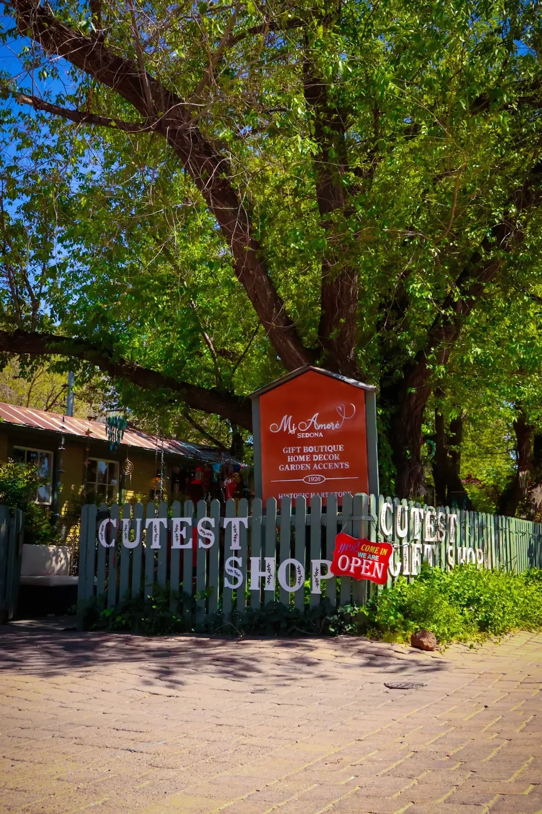
Back in town, Mi Amoré Sedona offers a quieter change of pace. Our gift shop in the historic Hart Store at 100 Brewer Road is a place to browse curated gifts and pieces for the home and garden. If the landscape has made you think about what you want to remember, leave time to choose something you will enjoy using or seeing after the trip.
Before any outdoor outing, check the Forest Service's current alerts and the relevant park or venue page. Stay on established routes, respect closures, and leave rocks where they are. The most useful thing to bring home from this kind of day is a better way of looking: a color, a layer, a gap, and the question of what happened there before you arrived.
Cover photograph: Federal Highway Administration/NARA 7721237, public domain, via Wikimedia Commons; resized for the site. Photographs illustrate the landscape and shop, not current weather or access conditions.