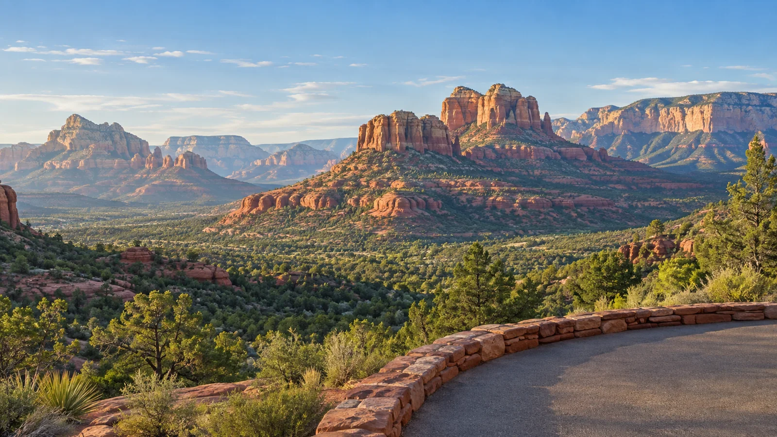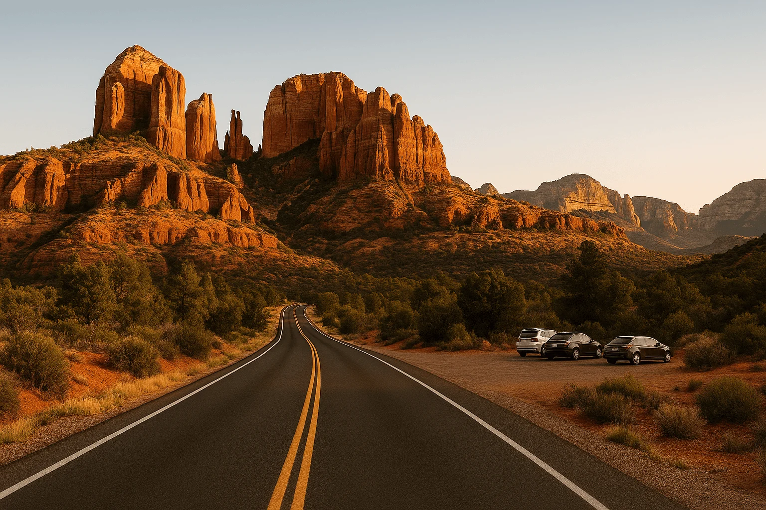
For a first visit, take SR 179 toward Bell Rock. For a wide view with very little walking, drive to the upper Airport Scenic Overlook. For a change from open sandstone to canyon walls, make a short out-and-back to Midgley Bridge. Each can fit into an hour when traffic cooperates and you choose one stop.
The trick is keeping the drive small. An hour is enough to enjoy a piece of Sedona, but it is rarely enough to collect the Chapel, a creek picnic, several viewpoints and a sunset. The planning windows below include a brief stop and a return to the stated starting area; they are estimates for light traffic, not live navigation times. Start near the route you want, and leave more room around weekends, holidays and sunset.
SR 179: Bell Rock and Courthouse Butte without a long outing
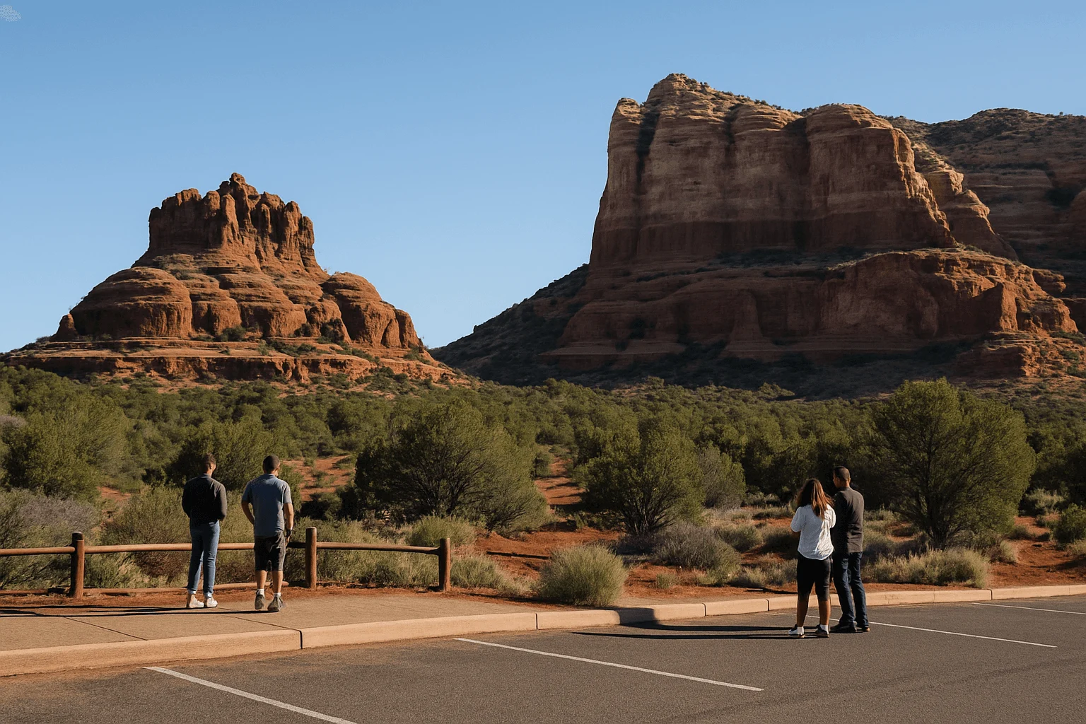
SR 179 brings the red rocks close to the windshield. Bell Rock's rounded crown and the broad face of Courthouse Butte make this the most satisfying first drive if you want those unmistakable Sedona shapes rather than a distant panorama.
From the SR 89A/SR 179 junction near Uptown, head south on SR 179 toward the Village of Oak Creek. Choose Bell Rock Vista, at the southern end of the Bell Rock Pathway, as your single planned stop. That is a named recreation parking area, not permission to stop in the highway shoulder. Courthouse Vista is a different lot farther north along the same corridor; use its signed entrance if that is your chosen stop.
Allow roughly 45–60 minutes from central Sedona and back for this modest out-and-back with a few minutes at one lot in light traffic. If the road is already backed up, shorten the trip rather than adding more stops. From a Village of Oak Creek hotel, the Bell Rock outing is shorter because you are already beside the southern end of the scenery.
The federally designated Red Rock Scenic Byway is 7.5 miles, and the Federal Highway Administration's route page gives about 20 minutes for driving the byway itself. That figure is not an Uptown round trip with a Chapel visit. The views continue beyond the formal byway, which is why different guides describe different lengths.
The road is paved and appropriate for an ordinary passenger car in normal conditions. Driving does not require a recreation pass; parking to recreate at Bell Rock's fee areas does. The current Red Rock Pass is $5 for a day or $15 for a week, and qualifying America the Beautiful passes cover the standard Forest Service sites. A short walk on the Bell Rock Pathway can be pleasant, but its rocky patches and climbs make it a separate choice from sightseeing from the parking area.
When to add the Chapel of the Holy Cross
Chapel Road branches off SR 179 to the Chapel of the Holy Cross at 780 Chapel Road. The approach climbs to a striking building set against the rock, but the visit takes more than a turn off the highway. Parking is limited, and reaching the entrance involves the ramp above the parking spaces. Golf-cart assistance and wheelchairs are described on the Chapel's visitor page; confirm assistance if your group depends on it.
The Chapel opens daily 9am–5pm, with last entry at 4:45pm. RVs and trailers are excluded. If you have a firm one-hour limit, choose either the Chapel or a Bell Rock stop. Visiting both is a better plan when the clock is flexible.
Airport Scenic Overlook: a short drive to a broad panorama
Airport Mesa opens up a different Sedona: the town spreads below you, backed by the ridges and red formations of West Sedona. This is the easiest choice here when the driver also wants time to get out and enjoy a wide view.
Turn from SR 89A onto Airport Road and continue uphill to the upper Airport Scenic Overlook parking area, near the airport. Do not confuse it with the small lower Airport Saddle trailhead lot you pass on the way. At the upper lot, park and use the marked crosswalk to reach the overlook across Airport Road.
A quick daylight visit can fit into roughly 25–40 minutes from central Sedona and back, with traffic and time looking out over the valley determining the total. The airport's current parking charge is $3, good for the day when you retain the receipt. It is a separate charge from a Red Rock Pass.
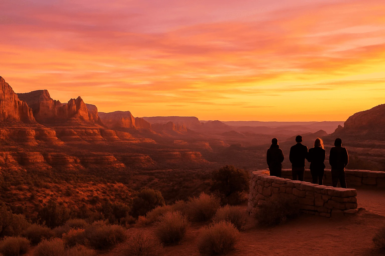
Sunset is a longer commitment. The airport's own guidance recommends arriving an hour before sunset to avoid the traffic. That makes a relaxed sunset outing different from a 30-minute afternoon stop.
The short overlook visit does not require hiking the Airport Loop or descending to the lower saddle. Those are rocky trails with their own distance and exertion. Pedestrians are prohibited from walking along Airport Road; use the signed trails if you intend to hike between the upper and lower areas. For a visitor using a mobility aid, discuss the parking space, crosswalk and viewing surface with the attendant instead of assuming every Airport Mesa viewpoint offers the same access.
Red Rock Loop Road and Crescent Moon: choose the road view or the creek
From West Sedona, the Upper Red Rock Loop approach gives you a lovely change of perspective on Cathedral Rock. The scenery opens over the valley as the road descends toward the creek, with more space between you and the formations than you get on SR 179.
For the shortest version, travel west on SR 89A to Upper Red Rock Loop Road and follow the signed paved approach toward Crescent Moon. Return by the same route rather than adding the complete Upper/Lower Red Rock Loop circuit. Allow roughly 30–45 minutes from the western end of West Sedona for a modest road outing with a brief stop in a legal turnout. Starting in Uptown adds the cross-town drive, so an hour can disappear before you have spent much time looking at the view.
The full loop and a visit to Red Rock State Park belong to a longer outing. Keep the distinction between the road, the state park and Crescent Moon clear in your navigation: they are separate destinations, with separate entrances and rules. The state park is a nature preserve with walking trails; it does not allow ordinary pets or swimming.
Crescent Moon is the stop for Cathedral Rock reflections
At Crescent Moon Picnic Site, also called Red Rock Crossing, the attraction is leaving the car and spending time beside Oak Creek. The famous reflection is a creekside view, not something you can count on photographing through the windshield. Water levels, light and the spot you reach affect the picture.
Follow the signed approach from Upper Red Rock Loop Road through the Red Rock Crossing area. The Forest Service confirms this approach is paved. There is no vehicle crossing of Oak Creek from Verde Valley School Road; a map that makes the two sides look close together does not create a driving connection.
Entry is currently $15 per vehicle for up to five people. Ordinary Red Rock and America the Beautiful passes do not cover this concession site. Its seasonal entry hours are 7am–7pm April–September, 8am–6pm October–November, and 9am–5pm December–March. Check the official Crescent Moon page before leaving, especially if you hoped to arrive at sunrise.
For a creek walk or picnic, set aside more than the short road window above. Picnic tables, drinking water and vault toilets make this a comfortable place to linger, but the walk to your chosen creek viewpoint has natural surfaces. Dogs must be leashed. If the group only wants a brief drive, enjoy the road scenery and save the paid creek visit for another part of the day.
Oak Creek Canyon: the short version stops near Midgley Bridge
Heading north from Uptown on SR 89A, the landscape begins to close around you. Canyon walls replace the open valley, and the road offers a glimpse of the greener side of Sedona without a journey all the way to Flagstaff.
The simplest short outing is Uptown to Midgley Bridge Observation Site and back. The Forest Service places it about two miles north of Sedona, at the mouth of Oak Creek Canyon. In light traffic, allow about 20–35 minutes for the drive and a short stop. Use the signed observation-site parking area and return toward town only where the road layout and signs permit a safe maneuver.
The parking area has a small number of spaces, picnic tables and vault toilets, and requires a Red Rock Pass or qualifying America the Beautiful pass. The official page warns against restricted roadside parking and walking out onto the bridge. Enjoy the view from the designated site; descending a hiking trail to the creek is a different outing. If the lot is full, continue safely instead of waiting in a traffic lane or making a rushed turn.
The Midgley Bridge site page, updated September 25, lists the site open. Conditions and closure orders can change, so use the Forest Service alerts when planning creek access elsewhere in the canyon.
Slide Rock and Oak Creek Vista need more time
The full canyon drive runs roughly 15 miles toward the northern switchbacks, then climbs to the rim. The Forest Service allows about an hour for the scenic drive itself. Driving to Oak Creek Vista, taking in the view and returning to Sedona is not a reliable under-one-hour trip. The higher end also brings winding grades and a larger elevation change, so check weather before going in winter.
Slide Rock State Park is worth a separate stop for its historic orchard setting and creek recreation, rather than a hurried pull-off. As checked September 27, the park says its swim area has reopened. Entry is by vehicle only, with no walk-ins, drop-offs or bicycles, and you cannot queue along the highway when the lot is full. Its current park page lists seasonal fees and hours. Parking, admission and getting down to the creek all take time; an hour of spare time is better spent on the shorter canyon view.
Schnebly Hill Vista: spectacular, but a different kind of trip
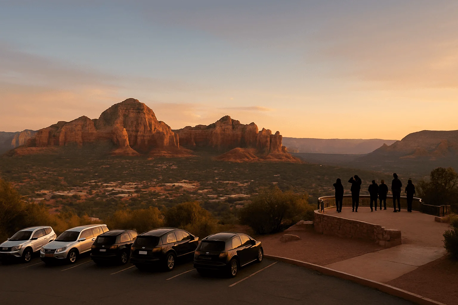
Schnebly Hill climbs toward an elevated view over eastern Sedona. It is also the option to remove from a casual rental-car afternoon. On the lower approach from Sedona, the Forest Service explicitly requires a high-clearance, four-wheel-drive vehicle. A small SUV badge or all-wheel drive alone is not a substitute.
Rocky travel, road conditions and seasonal gates make this an off-road excursion rather than a dependable one-hour drive. Approaching from I-17 also adds the journey out of town before the forest-road portion. Check the rental agreement and the Forest Service's current road status, and do not let a navigation shortcut steer an ordinary car onto the lower road.
If the appeal is having someone else handle the rough road, compare the routes in our Sedona Jeep-tour guide. A guided Schnebly Hill outing still needs several hours and involves a bumpy ride; it solves the vehicle question, not the one-hour limit.
Where to stay if short drives are part of your trip
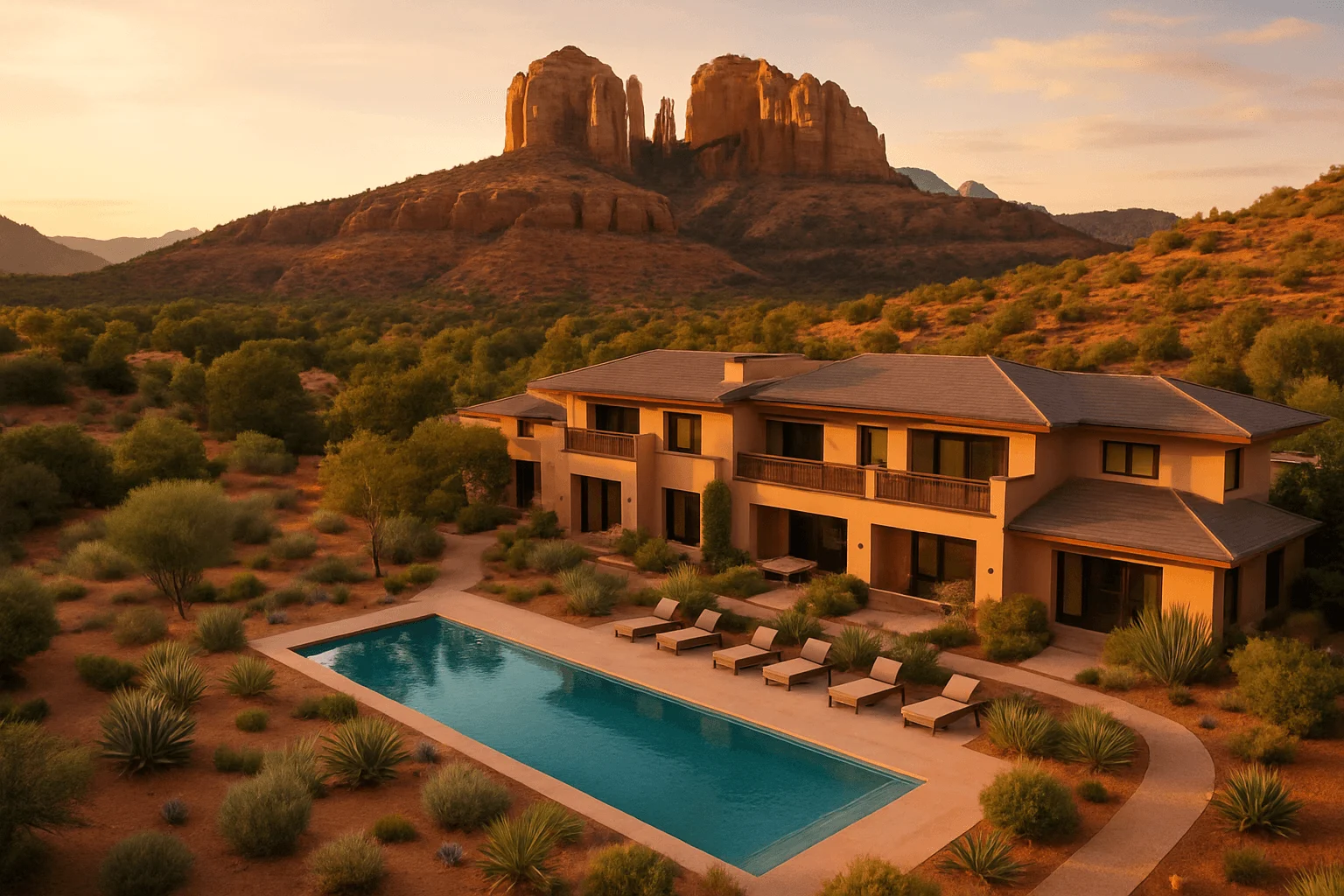
A hotel in the right part of town can matter more than adding another stop. Choose a base near the roads you will use most, then compare the total room charge, parking and cancellation terms for your actual dates. A red-rock-view photograph on a listing is not a promise that every room has that view.
Amara and L'Auberge: start near Uptown and Oak Creek Canyon
Amara Resort and Spa, at 100 Amara Lane, is below Uptown beside the creek. It is a sensible starting area for the short northern canyon drive, with restaurants above the property for the evening. Allow for the slope between the creekside property and the main street.
L'Auberge de Sedona, at 301 L'Auberge Lane, offers another creekside Uptown base. Compare its creek-oriented accommodations with the room categories overlooking the red rocks; the two experiences are different. Staying here does not eliminate traffic when you head south onto SR 179.
View L'Auberge rooms on Expedia →
The Wilde and A Sunset Chateau: West Sedona starting points
The Wilde Resort and Spa is on West SR 89A, making it a practical choice for the Airport Road and western road outings. Its resort setting gives you somewhere to unwind after a drive; it is not an Uptown walking base.
View The Wilde rooms on Expedia →
A Sunset Chateau is a smaller West Sedona alternative with suites, gardens and a made-to-order breakfast included. Breakfast is served 8–9:30am, so decide whether you want to enjoy it before an easy daylight drive or leave earlier for a particular photo stop.
View A Sunset Chateau rooms on Expedia →
Enchantment and Ambiente: choose them for the stay itself
Enchantment Resort sits in Boynton Canyon, away from the central road junction. Its canyon setting is a reason to book it, but an outing advertised as a short drive from Uptown takes additional travel from here. Build plans around the resort rather than assuming every Sedona viewpoint is on its doorstep.
View Enchantment rooms on Expedia →
Ambiente is an adults-only alternative in West Sedona for guests 18 and older, with a stay focused on its individual atriums and elevated outdoor spaces. It is worth comparing when the hotel experience is the occasion, rather than when you simply need somewhere to sleep between quick drives.
Make a short drive feel like part of a good Sedona day
Pick the view first, then arrange the rest of the day around that side of town. A Bell Rock drive pairs naturally with the SR 179 corridor. A morning near the Airport fits West Sedona. A canyon glimpse can come before an Uptown meal. There is no need to cross the busy central junction repeatedly for a few more minutes at another viewpoint.
When you are back near Tlaquepaque, Mi Amoré Sedona offers a small, unhurried stop at 100 Brewer Road in the historic Hart Store. Curated gifts, home and garden pieces, greeting cards and Sedona keepsakes give you something thoughtful to bring home after the scenery. It opens daily 10am–4:30pm; place the visit earlier if your drive is planned around sunset.
Before setting out, check AZ511 for highway conditions and the Forest Service conditions page for recreation roads. Our Sedona traffic guide explains how to keep a small outing small. Photograph from legal stopping places, bring water for even a brief stop, and leave private driveways and residential roads clear.
GOOD TO KNOW